Little San Bernardino Mountains
From a Palm Springs hotel pool, the mountains to the north don't look particularly little. They rise steeply from the valley floor, their rocky ridgelines catching afternoon light in ways the San Jacinto Mountains — the genuinely imposing range to the west — might envy. The name Little San Bernardino is comparative rather than diminutive: it distinguishes this range from its larger neighbor to the northwest, and it understates something. These mountains contain most of the Joshua Tree plateau, connect to the Big Morongo Canyon Preserve, and carry water from the Colorado River past a million Southern California kitchens.
The Range That Separates Deserts
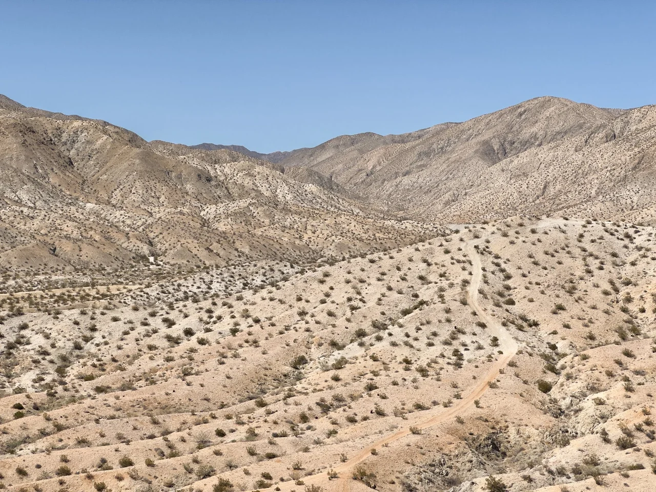
The Little San Bernardino Mountains extend roughly 40 miles in a northwest-to-southeast direction, forming a wall between the high Mojave Desert to the north and the Coachella Valley to the south. Their highest point, Quail Mountain, reaches 5,813 feet — respectable elevation for a range whose base sits at about 1,000 feet on the valley side, creating dramatic relief visible from throughout the region. The central and eastern portions of the range lie almost entirely within Joshua Tree National Park, which uses the mountains' crest as its southern boundary. The western end of the range transitions into the terrain of the Big Morongo Canyon Preserve, creating a connected corridor from the canyon preserve through the national park along the entire length of the mountains.
The Aqueduct Beneath the Feet
Along the southwestern edge of the Little San Bernardino Mountains runs the Colorado River Aqueduct — one of the major engineered water conveyances in the American West, carrying Colorado River water from the Parker Dam through the desert to the cities of Los Angeles, San Bernardino, and San Diego. The aqueduct runs underground through much of its length, invisible except for the access roads and maintenance facilities that periodically mark its passage. That it runs along the base of these particular mountains is a function of topography: the mountains provide a natural alignment that the aqueduct's engineers could follow, keeping the structure at consistent grade while avoiding the valley floor's more complicated real estate. Several hundred miles of pipe and tunnels converge on this landscape, a reminder that the Coachella Valley's human population is sustained by water transported from very far away.
The Fault in the Valley
The San Andreas Fault runs along the base of the Little San Bernardino Mountains, following the geological boundary between the Pacific and North American plates. From the valley floor, the fault's trace is visible as a linear scarp — a low cliff where the land on the fault's east side has been elevated relative to the land on its west side, or vice versa, through millions of years of accumulated displacement. The fault is the reason that palm oases exist in the valley below: groundwater forced upward along its fractures feeds the California fan palms that cluster at seeps. It is also the reason that earthquakes occur here, that the landscape continues to change, and that any long-term reading of this terrain must account for forces operating on timescales longer than human civilization.
From Below and Above
The experience of the Little San Bernardino Mountains varies entirely depending on where you stand. From the Coachella Valley floor, they are the defining northern horizon — the mountains that frame the view from every Palm Springs hotel and give the valley its characteristic enclosed feeling. From within Joshua Tree National Park, they are the southern edge of the plateau, visible as the range descending toward the warmer desert below. From Quail Mountain's summit, on a clear day, both perspectives are available simultaneously: the valley to the south and the park's interior plateau to the north, the two desert worlds that these mountains hold apart and connect at the same time.
From the Air
Located at 33.974°N, 116.317°W, the Little San Bernardino Mountains form the clear visual boundary between the Coachella Valley and the Joshua Tree plateau. From cruising altitude this transition is unmistakable: the irrigated valley grid and resort development end abruptly at the mountain front, and the rockier, more open terrain of the national park begins above. The range's northwest-southeast orientation is clearly visible, with the darker green of Joshua tree woodland visible on the plateau surface. Nearest airports: KPSP (Palm Springs International, approximately 15 miles south), KTNP (Twentynine Palms, approximately 20 miles northeast).
Nearby Stories
- Coachella Valley 3.4 km away
- Mountain Fire (2013) 5 km away
- Cabazon Dinosaurs 12 km away
- Coxcomb Mountains 14 km away
- The Integratron 19 km away
- Sidney Garfield 25 km away
- Cadiz, California 30 km away
- Calico: The Ghost Town Walter Knott Saved 76 km away