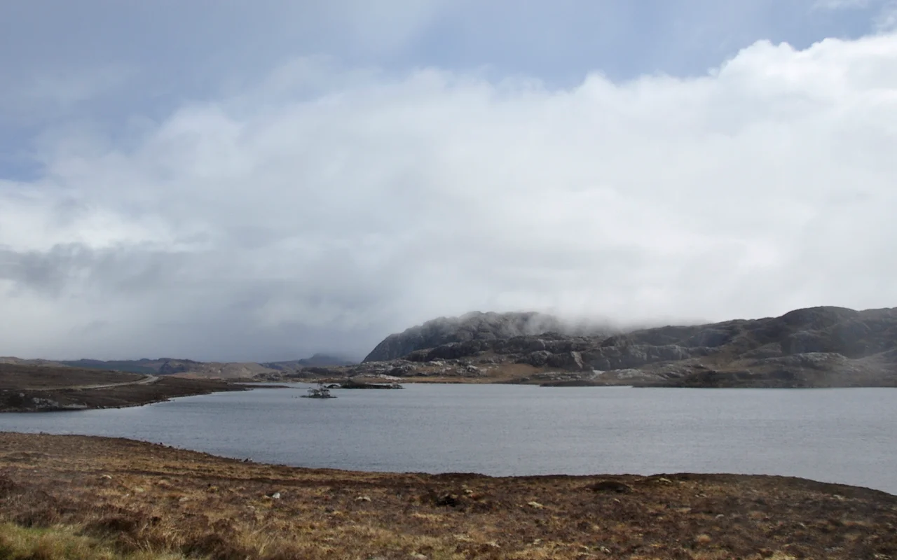

Loch Tollaidh
The loch's name says it plainly: in Gaelic, toll means hole or hollow, and Loch Tollaidh sits in exactly that - a scoop of dark water cradled in moorland southwest of Poolewe, watched over by ancient rock and a small island that once held a castle. The A832 skirts its eastern shore, but the loch belongs to the deeper Scotland: the Wester Ross of Lewisian gneiss, the world before clans and roads, the world that the road merely passes through.
The Hollow in the Hills
Loch Tollaidh lies about 2.3 kilometres southwest of Poolewe, a village near the head of Loch Ewe. The name comes from the Scottish Gaelic toll, meaning hole or hollow - a literal description of the basin in which the water sits. Around it stretches open moorland, the kind of country that looks empty until you stop and listen: wind in the grass, the occasional cry of a bird, water sliding against stone. The A832 road runs along the loch's edge, giving travellers a window into one of the Highlands' more intimate water bodies. From the road, the loch reads as a single sheet of dark water; from the southern shore, the small islands resolve, and the boulder crags rise to climbing heights.
Three Billion Years Underfoot
The bedrock here is Lewisian gneiss, among the oldest rock exposed anywhere in Europe. The Lewisian complex formed in the Precambrian, with some components dated to nearly three billion years - older than continents as we know them, older than most life. The rock is gneiss in its most photogenic form: striped and folded, banded in pale and dark minerals, polished by glaciers into the rounded hummocks that define the Wester Ross landscape. The southern shore of Loch Tollaidh hosts several well-regarded bouldering crags, where climbers grip stone that was already ancient when the first multicellular animals appeared. Few places in Britain offer a more direct handshake with deep time.
Crannog and Castle
Several small islands break the surface of the loch. The largest is believed to have been a crannog - an artificial or modified island, built by stacking stone and timber, used in Scotland and Ireland from prehistory into the medieval period as defensible dwellings. Texts from the early 20th century describe a later stone castle on the same site, held by Clan MacBeth and then by the MacLeods before its abandonment in 1480. Underwater surveys have found evidence of stone causeways linking island to shore. Whatever stood here, it has gone back to grass and water; the loch keeps its old secrets without explaining them.
Recent Memory
Not all the loch's history is medieval. A small commercial Atlantic salmon farm operated on Loch Tollaidh from the late 1980s until its removal in the late 2010s, a brief industrial chapter in a long pastoral story. The pens are gone now, leaving the loch closer to the state the crannog-builders would have known: open water, low islands, rock crags, sky.
From the Air
Loch Tollaidh is at 57.74°N, 5.63°W in Wester Ross, southwest of Poolewe on the A832. From 3,000-5,000 feet AGL the dark loch sits in moorland with the larger Loch Maree to the southeast, Loch Ewe opening to the northwest, and the An Teallach massif rising to the south. Nearest ICAO is EGPI (Islay) to the south and EGPE (Inverness) to the east. Inverness is the practical IFR alternate; Stornoway EGPO lies across The Minch to the northwest. Cloud base often low over the Wester Ross moors - VFR pilots should plan for marginal conditions and use Loch Maree as a backstop.
Nearby Stories
- BUTEC 4.3 km away
- Duntulm Castle 6.9 km away
- An Teallach 7.1 km away
- The Minch 11 km away
- Eilean Chaluim Chille 13 km away
- Suilven 14 km away
- Dunvegan Castle 16 km away
- Glen Affric 30 km away