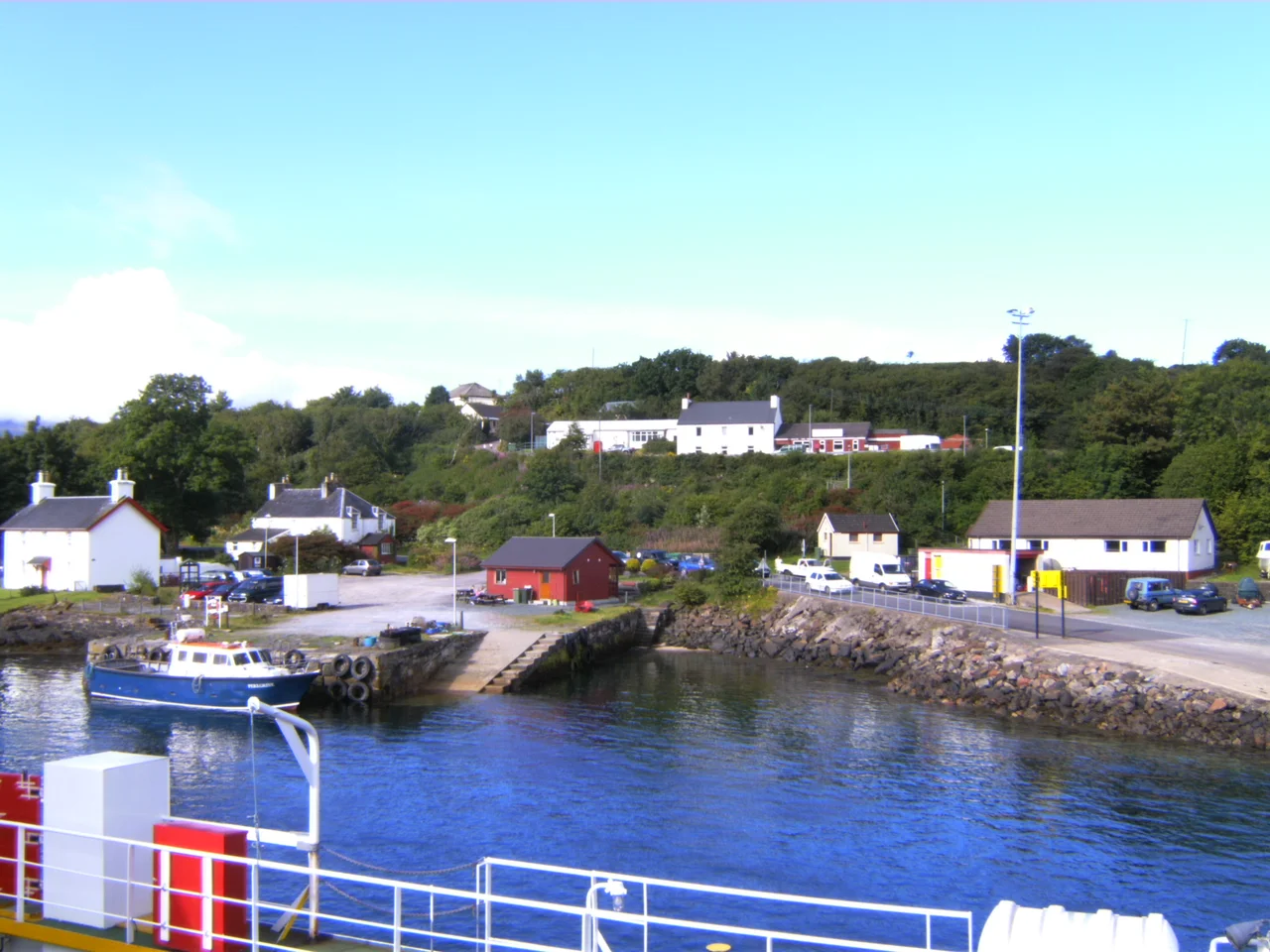

Lochaline
Lochaline began as somebody else's solution. In about 1830, in the thick of the Highland Clearances, John Sinclair of Lochaline laid out a village at the mouth of Loch Aline as somewhere to put the families being driven off the hill ground inland. A century later, in 1930, the village received another shipment of displaced Gaelic-speakers - this time from St Kilda, the storm-battered archipelago a hundred miles out into the Atlantic that the British government had finally decided was impossible to live on. Williamina Barclay shepherded the evacuees ashore. Some of them stayed, although the adjustment from sea-cliff isolation to mainland village was not easy.
Twenty Minutes Across the Sound
The village sits at the narrow waist of Morvern's southern coast, where Loch Aline opens into the Sound of Mull. From the slipway, a Caledonian MacBrayne ferry makes the crossing to Fishnish on the Isle of Mull in about twenty minutes, several times a day - making Lochaline one of the easiest ferry hops in the western Highlands and one of the few places where a day trip to Mull is genuinely casual. The land approach is the slower story. A single-track road snakes from Fort William along the lochside through Glen Tarbert, then south down Morvern to reach the village. The 507 bus runs the route twice a week, Tuesdays and Thursdays, mostly for shopping trips and hospital appointments. Two hundred people live here. They have a grocery shop, a post office, a petrol station, a hotel, a marina, and a snack bar.
Kiel Church and the Carved Stones
A mile west of the village, set in trees above the sound, stands the 19th-century Kiel Church. Its interior is plain - a braced timber roof over whitewashed walls - but the building shelters more than seventeen medieval carved gravestones, brought in from the surrounding ground for protection. Their surfaces show swords, ships, hunting scenes: the iconography of late medieval Gaelic Scotland under the Lordship of the Isles. A six-hundred-year-old cross lies broken in the graveyard. The name Kiel comes from Cille Choluimchille, the cell of Columba, in tradition the spot where the wandering Irish saint built his first church on this stretch of coast in the sixth century. The church above the sound is not his - it is a millennium and a half newer - but the stones beneath it are old enough to remember the world he was trying to convert.
Ardtornish and Wrecks
The ruins of Ardtornish Castle stand on the headland east of the village, looking out across the Sound of Mull. In the twelfth century, this was the fortress of Somerled, the founding warlord of the Lordship of the Isles. By the late fourteenth century it had become a principal seat of Clan Donald, and John of Islay, the sixth chief, died here in the 1380s; his funeral procession sailed from Ardtornish through the sound to Iona for burial in the sacred ground of Scotland's kings. Today the castle is a stump of stone, the lordship long since absorbed by the Campbells of Argyll. The other thing Lochaline is known for lies underwater. The Sound of Mull contains several famous wrecks, including the Swedish cargo ship Hispania, which struck a rock and sank in 1954. Diving charters work out of the small harbour all summer, taking visitors down to ships that did not survive these waters.
From the Air
Located at 56.54N, 5.78W on the Morvern peninsula in the Scottish Highlands, at the mouth of Loch Aline on the north shore of the Sound of Mull. Nearest airport: Oban (EGEO), about 14 nm south-southeast. Glasgow (EGPF) lies roughly 80 nm south. Recommended viewing altitude 2,000-4,000 ft to see the ferry slipway, the loch opening, Ardtornish Castle ruins on the headland, and the long narrow Sound of Mull stretching west toward Tobermory.
Nearby Stories
- Castle Tioram 1.9 km away
- Cairnburgh Castle 3.3 km away
- Lunga, Firth of Lorn 7.2 km away
- Bonawe Iron Furnace 8.8 km away
- West Highland Museum 11 km away
- Inveraray Castle 12 km away
- Bullough Mausoleum 22 km away
- Dubh Artach 23 km away