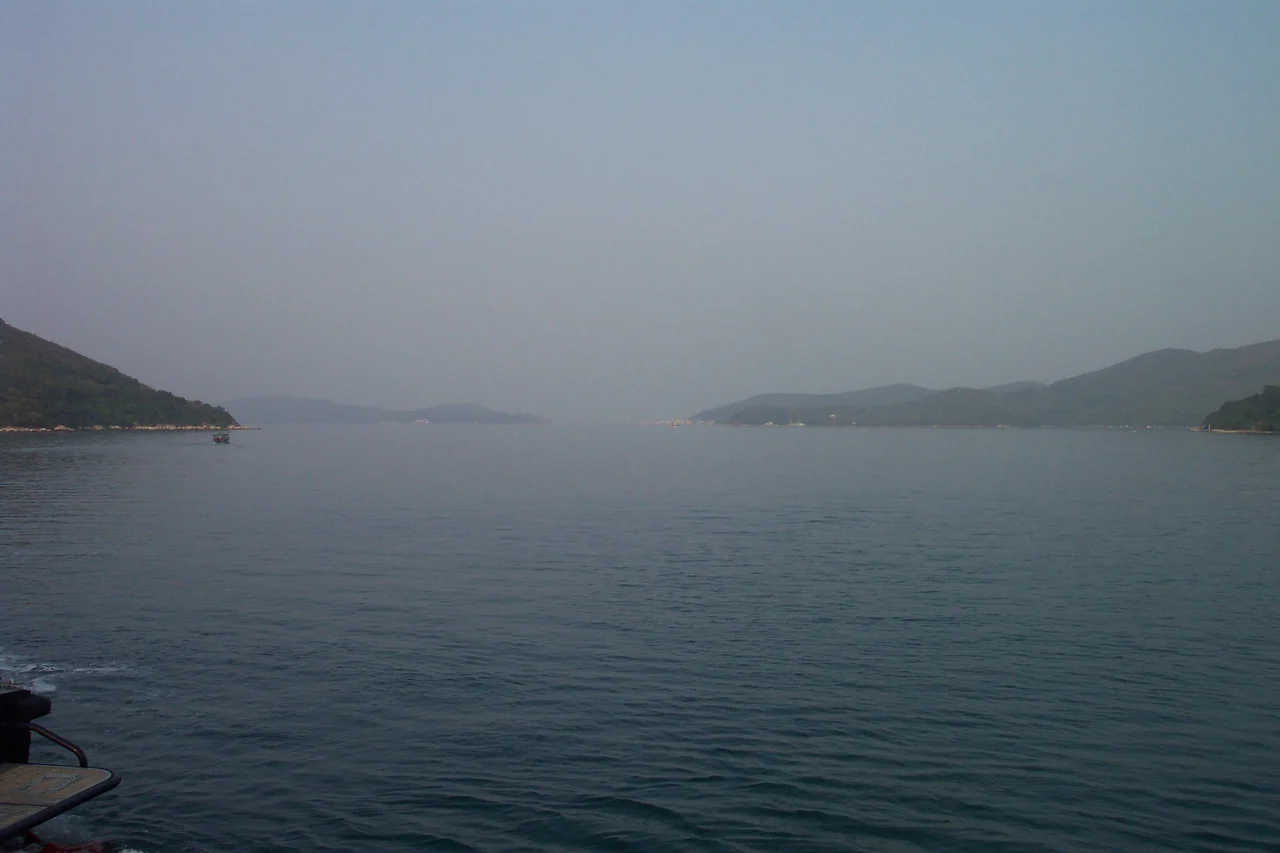

Long Harbour (Hong Kong)
Getting to most places in Hong Kong is easy. Getting to the villages of Long Harbour — or Tai Tan Hoi, as the inlet is also known — requires a small boat and patience. The harbour reaches into the Sai Kung Peninsula from Mirs Bay in the northeast, sheltered at its mouth by the island of Tap Mun, and splits into two arms around the spine of Tung Sam Kei Shan. No roads reach the settlements on its shores. The kai-to ferries that serve them are among the last working examples of a transportation system that once linked Hong Kong's scattered coastal communities long before any highway existed.
A Harbour That Divides Itself
Long Harbour's geography is unusual. The inlet runs roughly north-south, elongated and sheltered, before meeting an interior hill called Tung Sam Kei Shan — Long Hill — at a promontory called Tung Sam Kei Tsui. Here the harbour divides. The East Arm, Chek Keng Hau, bends toward the village of Chek Keng; the West Arm, Ko Tong Hau, points toward Wong Ma Tei and Ngau Wu Tun. The island of Tap Mun guards the harbour mouth, sitting in the broader waters of Mirs Bay and deflecting the open-sea swell that would otherwise make the inner reaches uncomfortable.
From above, the forked shape is distinctive — a liquid Y set into the green hills of the Sai Kung Peninsula. Sharp Peak, at 468 metres the dramatic southeastern summit of Sai Kung, is visible from the Tai Tan Country Trail on the western edge of the harbour's catchment area. The landscape here is among the least developed in all of Hong Kong.
Villages Without Roads
Most of Hong Kong's remote villages were eventually connected to the road network in the twentieth century, losing their isolation to development. The settlements around Long Harbour were not. Tap Mun, Wan Tsai, and Chek Keng have no road access. Ko Lau Wan, Tai Tan, Tan Ka Wan, and Tung Sam Kei are similarly cut off. These are not abandoned places — people live in them, and visitors come to walk the surrounding country park trails — but the absence of roads has kept them in a kind of enforced stillness that feels remarkable against the backdrop of one of the world's most urbanised territories.
The communities that grew here were fishing villages and small-farming settlements, their populations tied to the water and the land rather than the colonial city to the south. Many have shrunk considerably as younger generations moved to the urban areas for work and education. What remains is a small permanent population and a steady flow of hikers and weekend visitors who arrive by boat and leave by the same means.
The Kai-To and Its Routes
The kai-to — a small motorised ferry that serves communities without road access — is one of Hong Kong's enduring functional traditions. From Wong Shek Pier, at the head of the West Arm where the road finally reaches the water, kai-to routes branch out to the harbour's various villages. A second hub at Ma Liu Shui, on the MTR East Rail line near Sha Tin, provides another connection point for travellers coming from the urban core.
The boats are small, built for practicality rather than comfort, and the schedules are modest. But for the villages around Long Harbour, the kai-to is not a heritage experience — it is the only way in and out. Fishermen, hikers, villagers returning from town, occasional researchers and birdwatchers: the same small boats serve all of them. In weather that keeps larger vessels in port, the kai-to captains judge conditions by experience built over years on these specific waters.
A Corner of Mirs Bay
Long Harbour is an inlet of Mirs Bay, a body of water shared between Hong Kong and mainland China that sits at the eastern edge of the Pearl River Delta. The bay's waters are generally calmer than the open South China Sea approaches, and the Sai Kung Peninsula's rugged coastline creates dozens of inlets, beaches, and headlands that remain largely undeveloped. Long Harbour is one of the larger and more sheltered of these inlets.
The peninsula as a whole was designated a UNESCO Global Geopark in 2009 — a designation recognising the volcanic and sedimentary geology that gives the area its distinctive landscape of hexagonal rock columns, sea stacks, and dramatic headlands. Long Harbour itself sits within this wider protected landscape. The hills above the harbour are country park; the waters below are fished by the same families who have worked them for generations. The combination of landscape protection and genuine remoteness has preserved something here that most of Hong Kong long ago traded for development.
From the Air
Long Harbour lies at approximately 22.452°N, 114.348°E, on the northeastern coast of Hong Kong's Sai Kung Peninsula. From the air at 3,000–5,000 feet, the forked shape of the harbour is clearly visible: the elongated inlet splits around the central ridge of Tung Sam Kei Shan into two distinct arms. The island of Tap Mun sits at the harbour mouth. Sharp Peak (468 m) rises to the south, one of the more dramatic summit profiles in the territory. Mirs Bay opens to the north and east, with the Chinese mainland visible in the middle distance. Hong Kong International Airport (VHHH) is approximately 45 km to the west-southwest. The nearest significant airspace boundary is the Shen Zhen FIR to the north. Low-level coastal flying in this area provides exceptional views of Hong Kong's remote eastern coastline.
Nearby Stories
- Sha Chau and Lung Kwu Chau Marine Park 5.9 km away
- Wanshan Archipelago 22 km away
- Hong Kong 12 25 km away
- Second Battle of Chuenpi 27 km away
- Mount Guanyin (Dongguan) 43 km away
- Battle of Penghu 474 km away
- Penghu Air Raids 482 km away
- Checheng Fu'an Temple 592 km away