Machalilla National Park
Twenty-five miles off the Ecuadorian coast, a small island rises from the Pacific where blue-footed boobies dance their courtship shuffles and manta rays glide through water clear enough to count their gill slits. Isla de la Plata has earned an informal nickname that cuts both ways: the poor man's Galapagos. Reached by a two-hour boat trip rather than a long flight, the island offers much of the same wildlife theater that made Darwin's archipelago famous, at a fraction of the price. It is the headline attraction of Machalilla National Park, a 75,000-hectare protected area that covers both the Pacific shoreline of Manabi Province and a ribbon of dry forest extending inland.
The Only Coastal Park
Ecuador created Machalilla National Park in 1979, making it the country's only national park along the Pacific coast. In 1990, the park was added to the Ramsar list of wetlands of international importance, recognizing its role protecting a landscape that disappears almost everywhere else in Ecuador. The shoreline here is rocky, with dramatic cliffs where they abut the ocean and sandy pockets where sea turtles haul themselves up to nest. Inland, the terrain transforms into dry grasslands, tropical scrub desert, and a stranger ecosystem called fog forest, where flowers and vines pull moisture from the air rather than rainfall. The contrast within a single hike can be striking: cactus and kapok in one valley, green-through-the-dry-season leaves in the next.
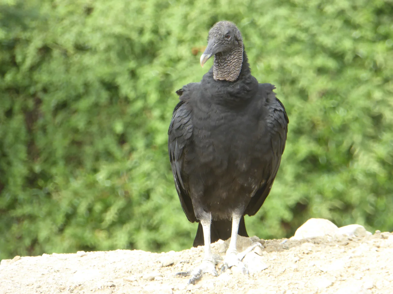
Isla de la Plata
The island sits about 37 kilometers offshore, reachable by boats from Puerto Lopez. The comparison to the Galapagos is not casual marketing. Many of the same species live on Isla de la Plata: blue-footed boobies, red-footed boobies, Nazca boobies, and magnificent frigatebirds nest on the cliffs. A 6.4-kilometer loop trail circles the island, passing colonies of boobies that do not move out of your way because they have never learned to fear humans. Offshore, snorkelers and divers share the water with sea turtles, tropical fish, and manta rays. Between June and October, humpback whales pass through on their migration, and boat captains cut the engines to let them sing under the hull. The park is the only place outside the Galapagos where the waved albatross can be seen, though the species breeds primarily on the more famous archipelago.
Agua Blanca and the Six Cultures
Before Spanish conquest, before Inca expansion, before the concept of Ecuador existed, six distinct pre-Columbian cultures inhabited this coast in sequence across several thousand years. The archaeological site at Agua Blanca sits within the park boundaries, preserving the stone foundations of a town that rose from the Manteno culture, which flourished here roughly from 800 to 1532 CE. The site museum walks visitors through the layered settlement history: the Valdivia, who made some of the oldest ceramic figurines in the Americas starting around 3500 BCE; the Machalilla, for whom the park is named; the Chorrera; the Bahia; the Jama-Coaque; and the Manteno. Walking tours take visitors through the stone ruins, explaining how each culture built on the debris of the last.
Birds and the Monkey Trail
Machalilla's bird list runs to about 270 species, a number that draws serious birders from around the world. The cast includes toucans and macaws alongside local specialties like the Peruvian screech owl, the golden olive woodpecker, and the whooping motmot with its improbable long tail. Binoculars are not optional. The 2.7-kilometer Frigate Trail offers a concentrated tour of coastal species with panoramic ocean views. Inland, the 5-kilometer Monkey Trail winds through the Pacoche Forest section and earns its name honestly: the canopy is busy with mantled howlers and white-headed capuchins, the latter occasionally close enough for visitors to count their fingers. The trail takes about two hours at a moderate pace, longer if you stop to look up every time the leaves rustle.
Los Frailes and the Quiet Beach
Los Frailes is the beach everyone recommends and nobody wants too many other people to hear about. The sand is soft and powdery, the water clear and warm, and part of the shoreline is closed to protect sea turtle nesting grounds. Getting there requires a short hike from the park entrance, which keeps the crowds manageable even in peak season. The cliffs framing the beach on both ends give it a geometric completeness, like a movie set someone forgot to strike. No restaurants, no hotels, no vendors: just sand, water, and the sound of waves that have crossed the Pacific to get here. It is one of those beaches that confirms why national parks exist in the first place.
From the Air
Machalilla National Park is centered at 1.56 degrees south, 80.83 degrees west, covering the Pacific coast of Manabi Province. Isla de la Plata sits about 37 kilometers offshore to the west. The nearest commercial airport is Eloy Alfaro International (ICAO: SEMT) at Manta, about 75 kilometers north. Recommended viewing altitude 6,000 to 10,000 feet to see the coastal cliffs, offshore island, and transition from dry forest to fog forest inland.
Nearby Stories
- Montañita 11 km away
- Palestina Canton 25 km away
- Manta, Ecuador 31 km away
- Litoral Penitentiary 40 km away
- Western Ecuador Moist Forests 80 km away
- Cabo Blanco, Peru 277 km away
- Talara Refinery 344 km away
- Malpelo Plate 496 km away