Manta, Ecuador
In 1736, a French scientist named Charles Marie de La Condamine stepped off his ship here on a mission to do something no one had ever done: measure the exact shape of the Earth. La Condamine was a leading member of the French Geodesic Mission, which had set sail in 1735 and would eventually prove the planet bulges at the equator and flattens at the poles. His point of entry was Manta, then a minor port on Ecuador's Pacific coast, now the country's seventh-largest city and home to 258,697 people according to the 2022 census. Manta is older than its colonial disguise suggests: the Manteno people, a pre-Columbian trading culture, used this bay as their hub for centuries before any European ship arrived.
The Tuna Capital
If bananas built Machala, tuna built Manta. The city has the largest seaport in Ecuador by some measures, and tuna fishing and processing drive its economy. International tuna corporations including Bumble Bee, Van Camps, British Columbia Packers, and Conservas Isabel maintain sizable factories here, alongside Marbelize, the leading Ecuadorian processor. Cans shipped from Manta end up on supermarket shelves across Europe and the United States. Tuna is not the only product: La Fabril and Ales, major Ecuadorian corporations producing vegetable oils and margarines, have their main factories in the city. Vistazo magazine consistently ranks Manta's metropolitan area third in Ecuador for corporate revenue, behind only Quito and Guayaquil. For a city many international tourists have never heard of, that is a substantial economic footprint.
The Condamine Landing
Charles Marie de La Condamine arrived here in March 1736 with one of the most ambitious scientific expeditions of the 18th century. The French Academy of Sciences had dispatched him to South America to measure a degree of latitude at the equator, part of a continental debate about whether Isaac Newton or Jacques Cassini was right about the shape of the Earth. Newton predicted an oblate spheroid, fatter at the equator. Cassini predicted the opposite. The measurements would be decisive, and Manta was the landing point from which La Condamine began the journey inland to Quito where the mission would do its work. Newton was proved correct. The expedition took ten years, longer than anyone expected, and La Condamine returned to France a celebrity. Manta's port remembers him in street names and plaques, though most of the city goes about its tuna business without much thought for the Frenchman who once walked off a boat here.
The American Years
Between 1999 and 2009, Manta Air Base operated under a shared-use arrangement between Ecuador and the United States. American aircraft used the base to fly anti-narcotics surveillance missions against Colombian drug trafficking cartels, patrolling Pacific shipping lanes and monitoring coca-growing regions. The arrangement was controversial in Ecuador. When the lease expired, the government of President Rafael Correa declined to renew it, and the last U.S. aircraft departed in 2009. The base, formally named Eloy Alfaro Air Base, continues to operate for the Ecuadorian Air Force, and Eloy Alfaro International Airport shares the runway. The decade of American presence left its mark on the city: restaurants that still serve American-style breakfast menus, English-speaking tour guides who learned the language working base contracts, and a generation of local workers who remember the period with a mix of nostalgia and ambivalence.
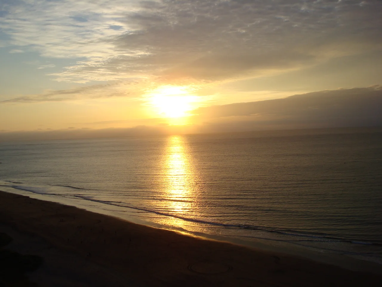
Surf, Kitesurf, and the World Cup
Manta has hosted serious water sports competitions. The 2004 Bodyboarding World Cup came here. The sixth South American Windsurfing Championship came here. Nearby Salinas hosted the ISA World Junior Surfing Games in 2009. Several beaches define the area: El Murcielago is the main urban beach, a crescent where families gather on weekends. Santa Marianita, also called Playa Bonita, has earned a reputation among kitesurfers for consistent wind conditions and a long beach with room to work. San Lorenzo produces powerful waves that run head-high on good days, drawing surfers who commute west from the city. Barbasquillo attracts a quieter crowd. The combination of warm water from tropical currents and reliable waves makes Manta one of Ecuador's main coastal sports destinations, though it has been overshadowed by the Galapagos in international attention.
Panama Hats from Ecuador
The hats Theodore Roosevelt wore during the Panama Canal construction came from Ecuador. Specifically, they came from Montecristi, a small town a few kilometers from Manta where weavers have produced what the world calls Panama hats since the early 17th century. The name is a marketing accident: the hats got associated with Panama because that is where they were sold to canal workers and travelers crossing the isthmus, not where they were made. Genuine Montecristi hats are woven from the toquilla palm, with the finest examples requiring months of work by a single weaver. The best hats can hold water. They can be rolled through a wedding ring. They cost hundreds or thousands of dollars in the shops lining Manta's market streets. Most tourists buy the cheaper versions, which are still excellent, and go home surprised that their Panama hat was never Panamanian.
From the Air
Manta is located at 0.95 degrees south, 80.72 degrees west, on Ecuador's Pacific coast in Manabi Province. Eloy Alfaro International Airport (ICAO: SEMT) serves the city and shares runways with Manta Air Base. From altitude the city appears as a substantial urban area wrapped around two natural bays, with the port complex visible to the north. Recommended viewing altitude 5,000 to 10,000 feet to see the city, the coastal beaches, and the dry forest extending inland.
Nearby Stories
- Bahia de Caraquez 32 km away
- Coastal Lowlands (Ecuador) 38 km away
- Palestina Canton 48 km away
- Jama-Coaque Ecological Reserve 65 km away
- Western Ecuador Moist Forests 71 km away
- Cabo Blanco, Peru 336 km away
- Talara Refinery 402 km away
- Malpelo Plate 438 km away