
Madura Station
In the 1870s, on the dry rim of the Nullarbor, men set out to raise horses for a war on the other side of the world. Madura Station was settled in 1876 not for sheep or cattle but for cavalry remounts, animals destined to be shipped from the coast at Eucla and sold to the British Army in India. The country was chosen for one reason above all others: water. In a land of brackish bores and false hopes, Madura had rare free-flowing freshwater, and that single advantage gave rise to one of the largest pastoral holdings in the country, a run that today covers more ground than the entire nation of Brunei.
Horses for an Empire
The first lease was taken up by G. Heinzmann in 1876, and the early venture aimed squarely at the British Indian Army, which needed sound horses for service on the North-West Frontier, in what is now Pakistan. The traditional owners of this country are the Mirning people, whose lands stretched across the Nullarbor and into South Australia long before any lease was pegged. Over the following decades the station changed hands and names many times. In 1888 the Madura Squatting and Investment Company floated to raise capital and take over the leasehold and surrounding blocks, finding the place carrying just 800 merino ewes and a few horses. By 1898 the Ponton brothers and John Sharp held it, when it was known as Clifton Downs Station.
A Country That Fought Back
The land tested everyone who tried to hold it. A rabbit plague swept west through the district in 1901, with millions of animals reported between Eucla and the Nullarbor. Artesian bores were sunk deep, one pumping 37,000 imperial gallons a day from 2,200 feet to keep stock alive. Drought and flood took turns. In 1948 some 400 cattle died for lack of feed, the survivors driven away in search of water. Yet water also drew people in: one bore that had flowed continuously for 28 years became a warm bathing place for travellers crossing the desert, and a trap for the several hundred brumbies running wild on the station in 1933.
Lives on the Edge
Isolation made every emergency a matter of life and death. In 1935 the station manager, W. O'Donovan, fell dangerously ill, and Goldfields Airways flew a doctor in aboard a new Fox Moth and carried him to Kalgoorlie. He died the next day of an internal haemorrhage. Two years later the acting manager, Michael O'Brien, was charged with cattle stealing; his defence was that the company had not paid him since O'Donovan's death. In 1949 the Reverend Sopher arrived with his wife and five children to run a home and school for Aboriginal children, part of the missionary effort of the era. Months later Mrs Sopher was badly burned when a spark from the oven caught her dress, and faced the long, agonising journey to hospital in Norseman.
From Homestead to Highway Stop
By 1950, after six years of drought had stripped the station of stock, the manager Robert Mackie began converting the homestead into something travellers could use, installing petrol pumps and turning the buildings into a motel-hotel with a liquor licence. The pastoral story did not end, though. Madura ran cattle, horses, and even a small herd of camels in its time before settling into sheep. The Jumbuck Pastoral Company acquired it in 1987, and in 2016 it sold to CC Cooper & Co of Jamestown, South Australia, for a reported ten million dollars. Today it remains the second-largest sheep station in Australia, after Rawlinna, running Merinos across roughly 7,082 square kilometres of limestone country threaded with caves.
From the Air
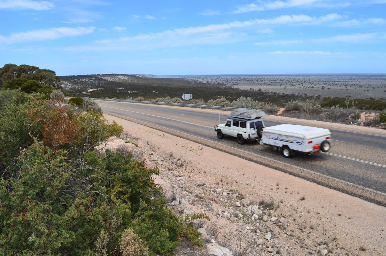
Madura Station occupies a vast tract of the Nullarbor near 31.88 degrees south, 127.02 degrees east, with the homestead and the Eyre Highway running along its southern boundary at the foot of the Hampton escarpment. From the air the station reads as cleared paddocks and bore lines across pale limestone country, with the dramatic step of Madura Pass dropping from the tableland onto the Roe Plains nearby. A widened section of the Eyre Highway at Madura serves as a Royal Flying Doctor Service emergency airstrip, painted with runway markings on the road itself. The nearest serviced aerodrome is Forrest Airport (ICAO: YFRT) to the north on the Trans-Australian rail corridor; Kalgoorlie-Boulder (ICAO: YPKG) lies roughly 700 kilometres west. Terrain on the plateau sits near 150 to 200 metres elevation, falling sharply at the pass. Visibility is typically excellent over the plain, though summer heat and smoke from occasional bushfires (one burned three days here in 2012) can reduce it. Recommended viewing altitude 3,000 to 5,000 feet.
Nearby Stories
- Mundrabilla, Western Australia 24 km away
- Eyre Telegraph Station 26 km away
- Cocklebiddy, Western Australia 47 km away
- Old Homestead Cave 63 km away
- Loongana railway station 77 km away
- Twilight Cove 99 km away
- Kinclaven Station 131 km away
- Great Australian Bight 242 km away