
Măng Đen
The town was renamed by accident. When the Republic of Vietnam fell in 1975, administrative clerks transcribed the local name — Măng Đeng, meaning 'the vast plain' in the M'nâm language — into official documents as Măng Đen. One letter dropped, and the meaning shifted entirely: in Kinh, Vietnam's majority language, măng đen means 'black bamboo shoot.' Textbooks for decades dutifully explained that the area must have lots of black bamboo. The M'nâm people, whose ancestors named the plateau, were not consulted. Măng Đen has been absorbing that kind of indifference for a long time. Its story is one of a place that keeps surviving what other people decide to do with it.
The Vast Plain at 1,200 Meters
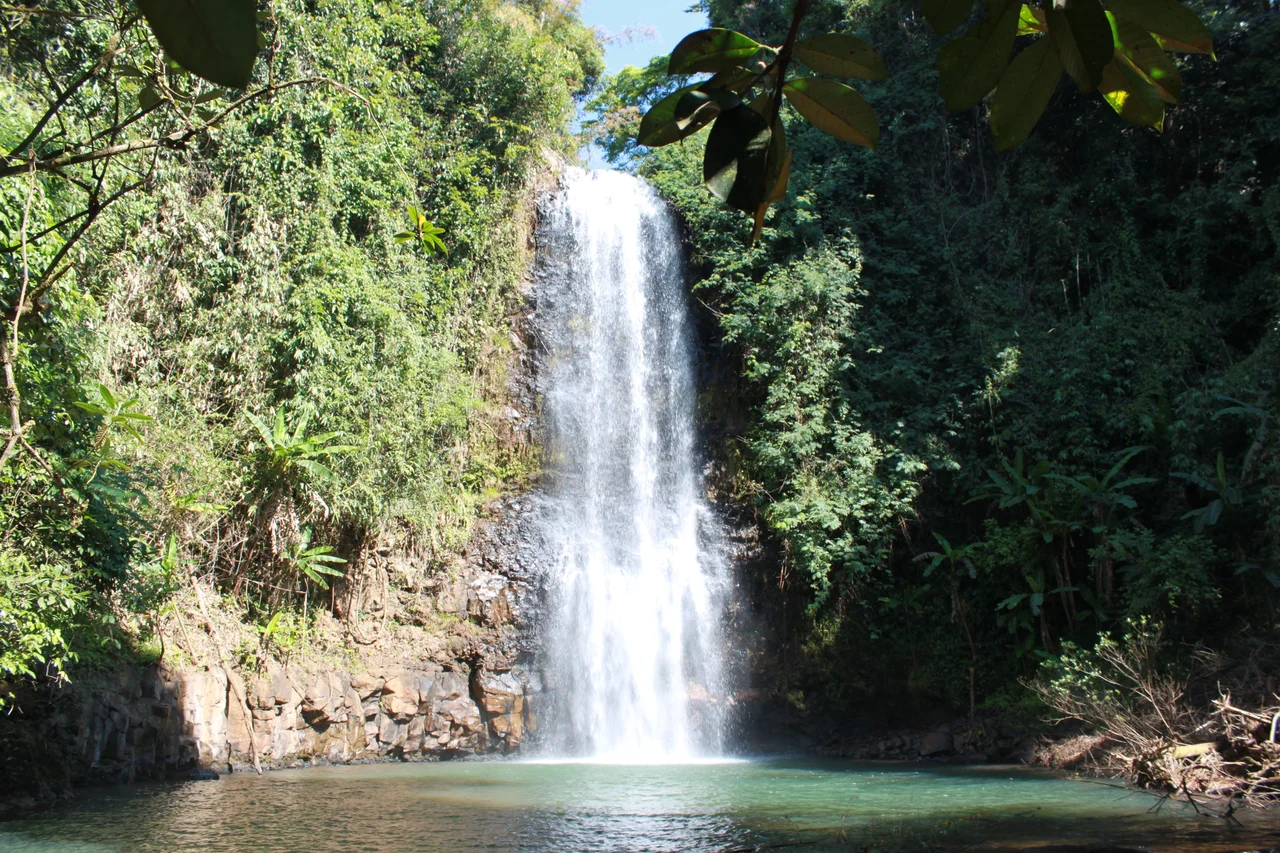
The Măng Đeng Plateau sits in the northern reaches of Vietnam's Central Highlands, in Kon Plông district of Kon Tum province. At 1,200 meters above sea level, temperatures stay cool even during summer — a rarity in tropical Vietnam — and the surrounding forests carry pine trees and stands of wild Himalayan cherry that bloom pink each winter. French engineers surveyed the plateau in the early twentieth century and recognized what they had found: a highland retreat comparable to Dalat, the colonial resort town they had already developed to the south. They planted pine trees and drew up plans. For reasons that have never been fully explained, the project was abandoned. The plateau waited. Vietnamese and M'nâm villagers — M'nâm being the indigenous people who gave the place its original name — continued living on basalt soil laid down by ancient volcanic activity, growing what they could in difficult agricultural conditions.
Wars and a Handless Madonna
During the Vietnam War, Măng Đeng was militarized. It became the Central Highlands headquarters for the Free World Military Assistance Forces, and American soldiers built a small airstrip in haste to support helicopter operations. In 1971, a chapel was constructed to serve both local Catholics and the troops stationed nearby. Bishop Joseph Nguyễn Minh Kông arrived by helicopter to place a statue of Our Lady of Fatima at the chapel's door — but the statue stood less than two kilometers from the airfield, which made it a target. In 1974, North Vietnamese artillery hit the chapel. The building was abandoned, the statue left standing in the jungle as the war consumed everything around it. Over the following decades, vegetation swallowed the site. The statue remained, arms broken off at some point by forces unknown, enduring in the jungle as 'Our Lady Without a Hand.' In 2006, a local Catholic discovered the statue still standing and reported it to the Bishopric of Kon Tum. On December 9, 2007, more than 2,000 people gathered at the ruined chapel for a Mass. December 9 has been the pilgrimage day for Our Lady of Măng Đen ever since.
FULRO and the Long Shadow
The postwar decades were not peaceful. Through the 1970s and into the early 1990s, Măng Đen was a security hotspot — targeted repeatedly by FULRO, the Front Uni de Lutte des Races Opprimées, an armed resistance movement fighting for the rights of highland indigenous peoples against the post-1975 Vietnamese government. The movement had deep roots: after the 1970 fall of the Cambodian Sihanouk government, FULRO had even briefly declared Măng Đeng the provisional capital of an independent Degar state, a claim that existed only on paper. But the actual violence was real. Raids in 1984 and again in 1986–87 killed Kinh police and civilians. The insecurity kept the plateau isolated and impoverished for years after the wars formally ended. When Vietnam began opening to outside investment and tourism in the late 1990s, Măng Đen was still too unsettled to develop.
The Second Dalat — and the Question Behind It
In 2019, Măng Đen was elevated from commune to township, officially acknowledging the population of 6,913 that had gathered around the old American airfield, now simply called Plateau G.I. The COVID-19 pandemic, paradoxically, boosted the town's profile: Vietnamese media promoted it as a safe, nature-adjacent escape, and the nickname 'the second Dalat' spread widely. Vietnamese Generation Z travelers arrived, drawn by the pine forests and the cool air. Writer Nguyễn Nhật Ánh set a science-fiction story there. Café Măng Đen became a registered national brand in 2024. In November 2023, a Deputy Prime Minister signed the decision to develop the entire area as a National Ecotourism Area by 2045 — the township 'frozen' as a non-industrial biosphere reserve, the forests preserved. Real estate speculators arrived before the ink was dry. The plateau that French engineers once surveyed, that soldiers fought over, that a statue stood alone in for thirty years, is now being planned into a resort. The M'nâm people, whose language gave it the name that was later dropped by a clerical error, remain a small minority.
From the Air
Măng Đen sits at 14.60°N, 108.29°E on the Măng Đeng Plateau in the northern Central Highlands of Vietnam, at approximately 1,200 meters elevation. From the air at 5,000–7,000 feet the plateau is visible as a distinctive highland clearing amid dense jungle-covered ridgelines. The abandoned American airfield (Plateau G.I.) is the historical landmark that gave rise to the modern town. The nearest commercial airport is Pleiku Airport (VVPK), roughly 110 km to the south-southwest. The area is subject to dense fog, especially during and after the rainy season (May–September), which can reduce visibility significantly at lower altitudes.
Nearby Stories
- Battle of Trung Nghia 5.1 km away
- Tân Cảnh Base Camp 12 km away
- Kon Ka Kinh National Park 13 km away
- Operation Masher / White Wing 17 km away
- Quảng Ngãi 41 km away
- Lý Sơn Island 51 km away
- Phù Cát Air Base 51 km away
- 1968 Kham Duc C-130 Shootdown 57 km away