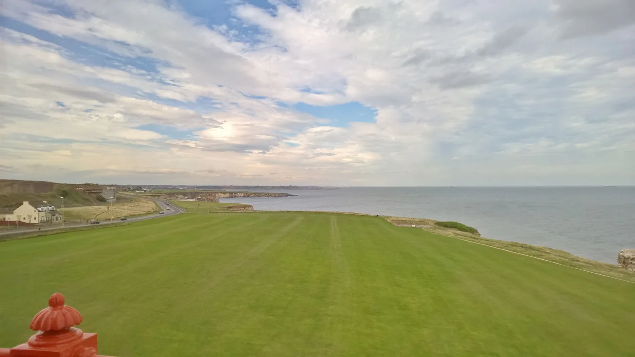

Marsden, Tyne and Wear
There are 135 houses on nine streets at Marsden, built side by side on the cliff top above the North Sea around 1880. There's a Methodist chapel and a Co-op store and a school and a Miners Institute. There are 700 people. Twenty years later there are fewer. By the 1960s the village is mostly gone. By the 1970s the last terraces come down. Marsden today is a place name attached to a stretch of coast, a famous sea stack, and a pub dug into a cliff - but the village it once named is a ghost.
Before the Pit
Marsden began quietly. Historically called Marsdon, it sat on the outskirts of South Shields, in what was then County Durham, on a windswept cliff overlooking the North Sea. A few cottages clustered around farms. A lighthouse stood at Souter Point - which in 1871 became the first lighthouse in the world designed and built specifically to use electric light, powered by a generator nearby. A small limestone quarry provided what little local industry there was. The transformation came when the Whitburn Coal Company bought the coastal landholdings and decided to sink a deep pit beneath the cliff. They needed workers. They needed somewhere to put them.
The Cliff-Top Village
The new Marsden village went up between the Lighthouse Quarries and Whitburn Colliery. It was designed for over 700 people: 135 houses across nine streets, a Methodist chapel and a church, a Co-op, a Post Office, a school, a Miners Institute. The position was spectacular and brutal. Standing on a cliff edge above the open sea, the village caught every easterly storm that came off the North Sea. Miners' wives often refused to move in. They stayed in South Shields proper, while their husbands took the train out each day along the colliery line. The cliff-top houses became known for being damp, salty, perpetually weather-beaten, and quietly emptied of the families they had been built to hold.
The Marsden Rattler
The colliery built its own railway - the South Shields, Marsden, and Whitburn Colliery Railway - twin-tracked, branching from the North Eastern Railway at South Shields and running south to the pit. Passenger trains ran on it too, picking up commuting miners and curious day-trippers who wanted to walk the beach. The trains became known locally as the Marsden Rattler. After nationalisation in 1945, the line became the first nationalised passenger railway in Britain, on 1 January 1947 - it has a quiet historical priority that few people in the rest of the country ever knew about. Passenger service ended on 14 November 1953. Trains rattled south for a few more days. Then they didn't.
Lost Village, Living Coast
Whitburn Colliery employed nearly 1,500 miners at nationalisation. The pit closed in 1968. The village above it had been depopulating for years before that, families unable to bear another winter on the cliff. The last houses were cleared in the 1970s. Nothing of the village remains. The coastline still does. Marsden Bay holds Marsden Rock, the great limestone stack that lost its arch in 1996. Marsden Grotto, the pub blasted into the cliff by Jack the Blaster Bates in 1782, sits where Marsden Lane meets the beach. Souter Lighthouse still stands at Souter Point under the care of the National Trust, its electric light long extinguished but its red-and-white tower as visible as it has been since 1871. The reptile shop is gone. Marsden Lane still climbs to Lizard Lane. The wind off the North Sea still scours everything it touches.
From the Air
Marsden sits at 54.978 N, 1.377 W on the South Tyneside coast, immediately south of South Shields. Cruise at 2,000-4,000 feet to take in the full sweep of coast from the mouth of the Tyne to Sunderland - this is one of the most concentrated stretches of coastal history in north-east England. Souter Lighthouse to the south, Marsden Rock immediately offshore, Marsden Grotto dug into the cliff itself. Newcastle International (EGNT) lies 8 nautical miles west-north-west; Durham Tees Valley (EGNV) 27 nautical miles south. The site of the lost village lies above the cliff line - the ground itself is unremarkable now, but the position above the sea is unmistakable.
Nearby Stories
- Seaton Carew 2.7 km away
- HMS Unity (N66) 6 km away
- George Stephenson's Birthplace 6.1 km away
- Raby Castle 9 km away
- Cragside 15 km away
- Whitby Abbey 21 km away
- German submarine U-2367 46 km away
- Alexander L. Kielland (Platform) 277 km away