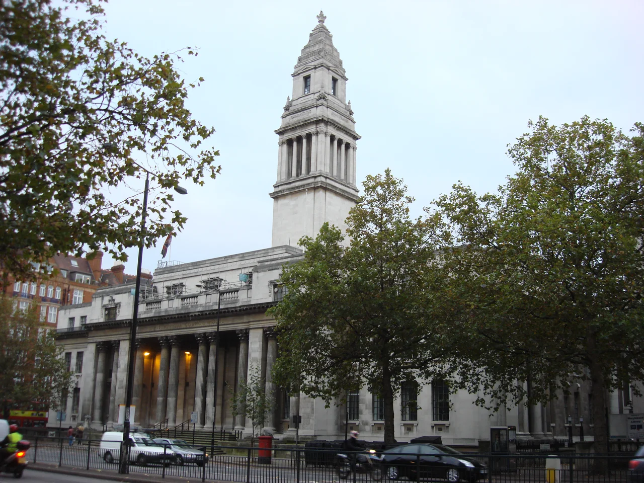

Marylebone
Marylebone is one of the few London neighbourhoods named after a creek. The hamlet that grew up here in the late Middle Ages built a parish church in 1400 dedicated to St Mary, and the Anglo-Saxon word burna — a small stream — gave the church and then the village its full name: St Mary-le-bourne, eventually elided into Marylebone. The village wanted distance from the place it had been previously identified with. About 900 metres south of the new church stood the Tyburn gallows, where for centuries London had carried out its most public executions. The villagers chose the church and the stream over the gallows, and the name stuck.
A Stream Buried Under a Grid
Walk down Marylebone Lane today and you can still see the curve. The eighteenth-century surveyors who laid out Cavendish Square in a rational grid had to bend their lanes around a small watercourse — the Tyburn — that rose up in Hampstead and ran south through the parish. The stream has been culverted for centuries, but Marylebone Lane preserves its old wandering line, the one geological argument that the gridded streets above it can never quite overrule. In 1710 John Holles, Duke of Newcastle, bought the manor for £17,500 and his daughter Henrietta inherited it; her marriage to the Earl of Oxford brought the Harley name into the district. The Howard de Walden Estate still owns most of the 92 acres between Marylebone High Street and Robert Adam's Portland Place. Pause at the right corner and you can still trace the family on the street signs.
Where Sherlock Holmes Never Lived
There is no 221B Baker Street in 1881, when Arthur Conan Doyle began writing about Sherlock Holmes — the street numbers ended in the low hundreds. Marylebone is full of these almost-places. At 2 Upper Wimpole Street, Conan Doyle himself opened an ophthalmic practice in 1891, before deciding that writing paid better than spectacles. At 57 Wimpole Street, Paul McCartney lived from 1964 to 1966 on the top floor of his girlfriend Jane Asher's family house, and John Lennon wrote "I Want to Hold Your Hand" on the piano in the basement. At 50 Wimpole Street, Elizabeth Barrett wrote poetry from her sickroom before eloping with Robert Browning. At 18 Bentinck Street, Charles Dickens lived with his perpetually indebted father in the 1830s — a father he later transformed into Wilkins Micawber. At number 7, Edward Gibbon wrote most of The Decline and Fall of the Roman Empire. At number 9, James Smithson signed the will that founded the Smithsonian Institution. At number 10, Chopin briefly rented rooms in 1848 and found them too expensive.
Bare Knuckles, Then Broadcasting
In the eighteenth century, Marylebone was known for entertainments that polite Londoners learned to look askance at. Marylebone Gardens hosted bear-baiting and prize fights with combatants of both sexes; the duelling grounds in Marylebone Fields drew aristocrats with grievances and seconds. By the end of the century the gardens were closed and the workhouse and the cemetery had taken over. The character of the area shifted upward through the nineteenth century, until the streets named after dukes (Portland, Devonshire, Manchester) had become medical streets — Harley Street and Wimpole Street are still the densest concentration of private specialists in Britain. In 1932 the BBC opened Broadcasting House on Portland Place, and from that building the BBC's domestic and World Service broadcasts have shaped the way the world hears English. The Wallace Collection — a Trustees' museum given to the nation in 1897 — sits inside Manchester Square's central mansion, once home to the Spanish ambassador, with one of the finest holdings of French eighteenth-century furniture and Old Master paintings in the country.
The Wax Lady and the Cricket Ground
Two unrelated arrivals at the start of the nineteenth century helped fix the Marylebone identity. In 1835 Marie Tussaud — a French wax-modeller who had made death masks during the Revolution and then toured Britain for thirty years — finally settled her travelling exhibition at a permanent address on Baker Street. Madame Tussauds moved to its current Marylebone Road site in 1884 and has stayed put. Three quarters of a mile north sits Lord's Cricket Ground, founded by Thomas Lord in 1814 at its present site after two earlier locations, and home to the Marylebone Cricket Club — a private members' club that has functioned as the global rule-maker for cricket for most of its history. Marylebone gave its name to MCC. MCC, in turn, has given its name to ovals and pavilions on every continent where the game is played.
A Quieter Centre
Marylebone never became as loud as Soho to the south or as grand as Mayfair to the west. That is its character. It produced a metropolitan borough in 1899 — independent for sixty-six years before being absorbed into the City of Westminster in 1965 — and it gave the world a railway terminus, Marylebone Station, two miles north-west of Charing Cross. The Balcombe Street siege in December 1975 ended here, after Provisional IRA gunmen held two civilians hostage in a flat for almost a week. Today the area is one of the most expensive in London, and one of the quietest. The buried stream still bends Marylebone Lane, the wax figures still draw queues on Marylebone Road, and the cricket still goes on at Lord's, where the rules are still written.
From the Air
Marylebone occupies the strip of Central London north of Oxford Street, between Regent's Park and Edgware Road, centred near 51.518°N, 0.147°W. From altitude it appears as part of the dense West End grid; landmarks visible from low altitude include the open green of Regent's Park to the north and the Telecom Tower to the east. London Heathrow (EGLL) lies west on standard approach paths; London City (EGLC) east; Northolt (EGWU) northwest.
Nearby Stories
- Stevenage 5.7 km away
- Malling Abbey 5.7 km away
- 1952 Farnborough Airshow Crash 7.7 km away
- Ingatestone Hall 8.2 km away
- Hellfire Caves 9.1 km away
- The Carrington Event: The Solar Storm That Could Happen Again 9.8 km away
- Bletchley Park 16 km away
- Castle Hedingham 23 km away