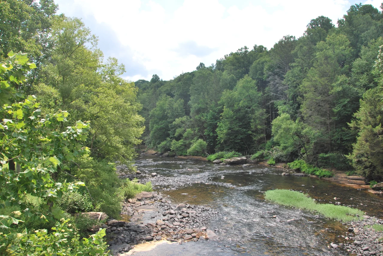

Meadow River
The river is named for the wet upland meadows it drains in Greenbrier County, a high country of grass and bog that looks more like Ireland than West Virginia. It rises gently. For most of its 53-mile course it flows like a normal Appalachian river - quiet through the towns of Rupert, Charmco, and Rainelle, picking up tributaries from the surrounding ridges, gathering volume but not gradient. Then, in the last few miles before it joins the Gauley at Carnifex Ferry, the Meadow River does something unusual. It drops. Hard. Through a steep undercut sandstone gorge that whitewater paddlers describe with names like Coming Home Sweet Jesus, Hells Gates, and Brink of Disaster. This is, arguably, the most difficult whitewater run anywhere in West Virginia.
From the High Meadows
The Meadow River forms at the confluence of Eagle Branch and Callahan Branch in eastern Greenbrier County, at the edge of the high meadows for which it is named. These wet uplands, sitting at elevations of around 2,500 feet, drain a mix of forested ridges and grass-and-bog wetlands. The river flows southeast to northwest, gathering tributaries: Methodist Branch, Otter Creek, Little Clear Creek, Big Clear Creek, Mill Creek, Laurel Creek, Meadow Creek, Brackens, Young's, Glade, Hendricks, Dogwood. Most of its course runs through the Meadow River Wildlife Management Area, a protected stretch of timbered hills where bear, deer, and turkey are common. The river drains a basin of 365 square miles before reaching its mouth at the Gauley near Carnifex Ferry. Via the Gauley, the New, the Kanawha, and the Ohio, the Meadow is part of the Mississippi watershed.
Through the Coal Towns
The Meadow flows past Rupert, the small town that sits on the WV Route 60 corridor; through Charmco, a coal-era community at the foot of Big Sewell Mountain; and through Rainelle, a former lumber-and-coal town that was at one point in the early 20th century the largest lumber town in West Virginia. In 1858, before the Civil War, a dam was proposed near present-day Rainelle, between Big Sewell and Laurel Mountains. The plan was to create a reservoir for industrial water supply. It was never built - the war intervened, and by the time peace returned, the economic logic had shifted. The river continued to flow free. Today the Meadow corridor through Greenbrier and into Fayette County is one of the quieter parts of southern West Virginia, with small towns hanging on, abandoned coal tipples slowly returning to the woods, and the river running steadily west toward the Gauley.
The Upper Run
Whitewater paddling on the Meadow begins around Rainelle. The 15-mile stretch from Rainelle down to Russelville offers steady Class III and IV water with occasional Class V passages at high flow - challenging but accessible to intermediate paddlers in skilled groups. Below Russelville the river flattens for a few miles before reaching the small community of Nallen. The five-mile stretch immediately below Nallen and above the US Route 19 bridge crossing returns to mostly Class III and IV - bigger volume, larger waves, but still in the recreational range. For paddlers who do not want to commit to the most difficult sections, the upper Meadow offers some of the prettiest, most consistent whitewater in West Virginia, with much less crowding than the well-known Gauley and New Rivers a few miles to the south.
The Lower Meadow
Below the US 19 bridge the river changes character. The gradient steepens. The walls close in. Sandstone boulders the size of houses constrict the channel, and the water finds its way through and under and around them in ways that have killed at least three experienced paddlers since records began. The named rapids are part of the dark canon of American whitewater: Put In, Rites of Passage, Hells Gates rated Class 5.2, Brink of Disaster at 5.0, Coming Home Sweet Jesus at 5.3, Sieve City at 5.0, Heavy Water, Let's Make a Deal, First and Second Island, Sliding Board, Double Undercut. Many of the worst features are undercut rocks - sandstone shelves the river has been cutting under for thousands of years, creating sieves and pinning hazards where a swimming paddler can be trapped underwater. American Whitewater rates the Lower Meadow as expert-only, runnable safely only by paddlers with years of Class V experience and only at certain water levels. It is the upper Meadow's gentle counterpart, and it ends, like so much else in this watershed, at the Gauley.
From the Air
The Meadow River runs from headwaters in eastern Greenbrier County to its confluence with the Gauley at 38.19 N, 80.94 W in Nicholas/Fayette County, West Virginia. Recommended viewing altitude is 3,000 to 5,000 feet AGL for the lower canyon. The lower 5 miles within the Gauley River National Recreation Area are spectacular but in a deep, narrow gorge difficult to photograph from above. Nearest airports are Greenbrier Valley (KLWB) in Lewisburg for the upper river and Summersville Lake Airport (KSXL) for the lower. WV Route 60 follows the river through Rupert, Charmco, and Rainelle.
Nearby Stories
- New River Gorge National Park and Preserve 4.2 km away
- Greenbrier County, West Virginia 5.5 km away
- End of the World Turn 7.9 km away
- Kanawha State Forest 8.8 km away
- Webster Sycamore 13 km away
- Cranberry Wilderness 16 km away
- Buffalo Creek Flood 21 km away
- Battle of Winfield 29 km away