Menjangan: The Island the Deer Swim To
The deer arrive by swimming. Every spring, herds of wild Javan rusa deer wade into the sea off Bali's northwestern coast and strike out across 1.2 miles of open water toward a small island ringed by coral. The local population watched this migration for so long that they named the island for it: Menjangan, which means "deer" in both Balinese and Indonesian. The animals have been making this crossing for as long as anyone can remember, driven by some seasonal imperative -- fresh browse, reduced competition, instinct encoded deeper than memory -- that compels them to leave solid ground and swim. The island they reach is barely a speck on the map, five miles northwest of mainland Bali, tucked into the calm waters between Bali's volcanic north coast and the open strait separating it from Java. What the deer find there, and what human visitors find alongside them, is one of Bali's quietest and most remarkable places.
Temples Between the Trees
Menjangan Island is uninhabited in the permanent sense -- no villages, no roads, no hotels -- but it is not empty. Hindu temples stand among the trees, their stone walls softened by tropical damp and the patient growth of moss. Pura Taman Kelenting Sari is the most prominent, a temple complex that draws Balinese worshippers who make the boat crossing from the mainland to pray. Another temple honors the Patih, a title for chief ministers in the old Javanese and Balinese court systems. A third is dedicated to Kwan Im, the bodhisattva of compassion known across East and Southeast Asia as Guanyin -- a syncretic presence on an otherwise Hindu island that speaks to the layered religious history of this region. The temples exist in a kind of negotiated solitude: cared for by Balinese communities on the mainland, visited by devotees and tourists, but never crowded. The island's small size and its status within Bali Barat National Park ensure that development stays off and the trees stay standing.
The Reef Below
Beneath the waterline, Menjangan's coral reefs are among the best-preserved in Bali. The island's position in relatively calm, nutrient-rich waters has allowed hard and soft corals to flourish along its perimeter, creating a wall-diving environment that draws scuba operators from across the island. Visibility is often excellent, and the reef drops away steeply on the island's northern and western faces, offering dramatic underwater topography within a short boat ride from shore. Every dive shop in northwestern Bali runs daily trips to Menjangan, making it the region's primary diving destination. The accessibility is both the reef's greatest asset and its most persistent threat. Tourist boats once anchored directly on the coral, their heavy chains dragging across living reef as the boats swung with the current. The damage accumulated season by season, scar by scar. Conservation programs, including one run by the Biosphere Program, have worked to reverse the trend. Students from around the world have participated in reef surveys, learning to identify coral species and assess their health. A mooring buoy system was installed to eliminate anchor damage, giving boats a fixed point to tie off without touching the reef below.
A Park Within a Park
Menjangan is part of Bali Barat National Park, the only national park on the island of Bali, which protects the dry monsoon forests and coastal ecosystems of Bali's sparsely populated western tip. The park is administered from the Java side -- a jurisdictional quirk that places this Balinese island under Javanese administrative authority. The nearest settlement is Sumberkima village on the mainland coast, and the nearest regional airport is the small Letkol Wisnu field, roughly eight miles from the island. For commercial flights, travelers use Banyuwangi International Airport across the strait in East Java. This remoteness is the island's defining feature. Bali's southern coast heaves with development -- Kuta, Seminyak, Nusa Dua -- but the northwest remains a different world. The roads narrow, the traffic thins, and by the time you reach the boat launch for Menjangan, the Bali of international tourism feels very far away. The deer on the island seem to understand this geography instinctively. They chose the quiet side.
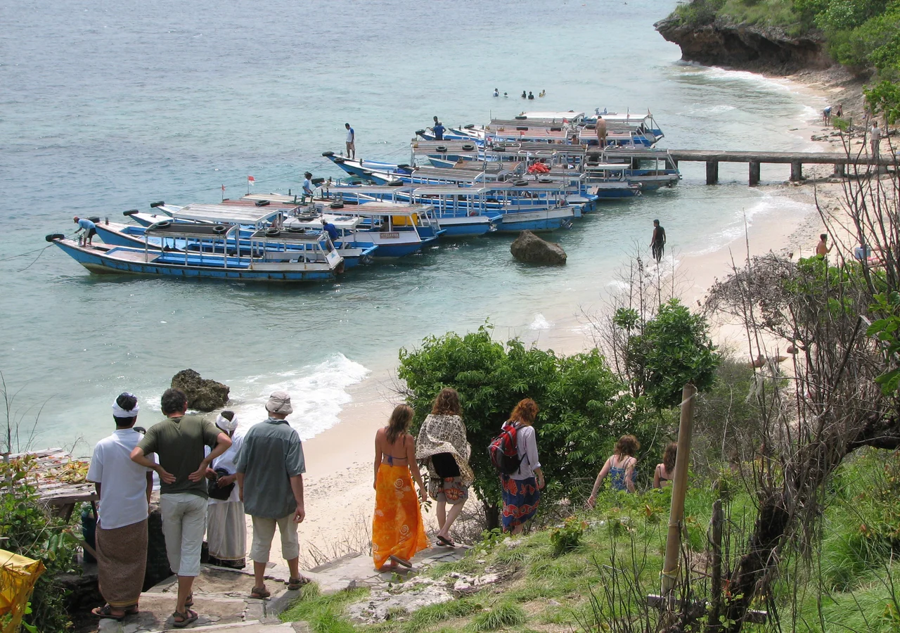
Where Deer and Divers Share the Shore
The island's two draws -- the wildlife above water and the coral below it -- coexist in a space small enough that visitors encounter both in a single morning. Divers surface from a reef survey to find deer grazing at the tree line, unbothered by the neoprene-clad figures hauling tanks up the beach. The deer have grown accustomed to human presence without becoming tame; they watch, assess, and return to browsing. The Javan rusa is a large deer, standing over a meter at the shoulder, with the heavy antlers and alert posture of an animal that has survived by paying attention. On Menjangan, their only real threat is the swim itself. The 1.2-mile crossing exposes them to currents and open water, and not every animal that enters the strait reaches the other side. Yet they keep coming, generation after generation, as if the island exerts a pull that overrides the risk. For visitors, the combination is unlike anything else in Bali: ancient temples in the forest, pristine coral a few meters offshore, and wild deer that got there the hard way.
From the Air
Menjangan Island sits at approximately 8.10S, 114.52E, a small flat island visible off Bali's northwestern coast within the calm waters of the strait between Bali and Java. From altitude, look for the island about 5 miles northwest of the Bali mainland, near the western tip of the island within Bali Barat National Park boundaries. The volcanic terrain of western Bali rises behind the coastline. Nearest regional airport: Letkol Wisnu (approximately 8 miles from the island). Nearest commercial airport: Banyuwangi International Airport (WARB/BWX) across the Bali Strait in East Java, approximately 30 km west. Ngurah Rai International Airport (WADD/DPS) in southern Bali is approximately 140 km southeast. Tropical maritime climate; dry season (April-October) offers best visibility for spotting the island and its surrounding reef from the air.
Nearby Stories
- Bali 8.2 km away
- Java's Little Africa 11 km away
- When the Island Shook 15 km away
- Alas Purwo: Where Java Begins and the Surf Never Stops 28 km away
- Meru Betiri: The Last Forest on Java's Southern Edge 30 km away
- The Ship of Four Names 58 km away
- The Kedopok War: When Probolinggo Rose Against Its Buyer 78 km away
- Shaken Foundations: The 2021 East Java Earthquake 153 km away