
Mochrum
Mochrum is a name with a humble translation. It is Cumbric - the lost Brittonic language of southern Scotland - and it breaks down into moch, meaning pigs, and drum, meaning ridge. Pig Ridge. There is a small chance the name is instead Gaelic, formed from the cognate elements muc-druim, but the Cumbric reading is the likelier one. Either way, the swineherds came first, and the parish that grew up around the ridge inherited the name. Today Mochrum covers 22,000 acres of coastal Galloway between Luce Bay and Wigtown Bay, with a small village at its centre, the planned harbour town of Port William on its shoreline, and underneath the surface of nearly every field, evidence of human habitation reaching back eight thousand years.
A Kirk Built Twice
The parish kirk at Mochrum is the third or fourth building on a site that has held a church since at least the 12th century. The medieval predecessor was largely destroyed by fire in the 1770s, but enough of the rectangular walls survived that the masons reused them when they rebuilt in 1794. The result was substantially altered again around 1840 to suit changing congregational tastes. The churchyard holds ten war graves, four of them belonging to unknown men and one to an unknown woman - which is itself a small story, since female war graves of that anonymity are rare and usually mark someone who served in the wars and could not be identified afterwards. The kirk stands at the centre of one of the oldest patterns of religious worship in Scotland.
Sir John Dunbar's Flodden
The medieval history of Mochrum runs through two families. The Dunbars held the parish from the late medieval period, and Sir John Dunbar of Mochrum died at the Battle of Flodden in 1513 - one of roughly 10,000 Scots killed that day along with King James IV. His widow Janet Stewart raised their family at Mochrum, and his third son Gavin Dunbar (1490-1547) eventually rose to become Archbishop of Glasgow in 1524, a remarkable trajectory for a younger son from a remote Galloway parish. The Dunbar fortified manor stood at Castle Island in Castle Loch, also called Drumwalt - an island stronghold built into a freshwater loch in the parish. The McCullochs of Myretoun held the other corner, with a 5-merkland holding at Balsalloch in the Barony of Myretoun recorded as far back as 1574. Myretoun Castle was later passed to the Maxwells, who eventually replaced it with the more comfortable Monreith House.
Eight Thousand Years of Footprints
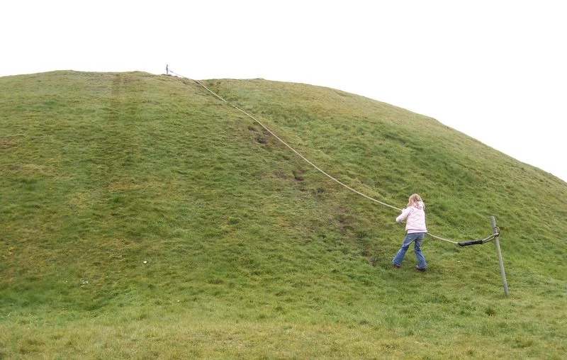
About a mile from Monreith, where the coast turns at Barsalloch Point, there is evidence of human encampments dating to around 6000 BC. If the dating holds, this may be the oldest known settlement in all of Galloway. The Barsalloch Iron Age fort sits on the same headland, much later in date but using the same defensive instinct - the cliff gives you one wall for free. There is another Iron Age hill fort at the Doon of May, inland. Druchtag Motehill, a steep-sided mound 100 metres north-west of Mote Brae, is the surviving earthwork of a 12th-century motte-and-bailey castle. The Old Place of Mochrum, the much-photographed twin-towered keep on the lochside, was built in the 15th century after the Dunbars received the lands in 1368. A crannog - an artificial island dwelling - lies in Elrig Loch. A standing stone called the Carlin Stone marks the Derry. Mochrum's fields and lochs are an archaeological palimpsest, with every period of Scottish prehistory and history written somewhere on the parish.
Chapel Finian and the Pilgrim Coast
On an old raised beach at Corwall Port, the foundations of Chapel Finian sit just above the high-water mark of Luce Bay. The chapel was built in the 10th or 11th century and most likely named for Saint Finnian, who was educated at nearby Whithorn and died around 579 AD. Tradition holds that the site was a landing place for Irish pilgrims travelling across the North Channel to visit St Ninian's shrine at Whithorn. Pilgrims arriving by boat from Ireland would have stepped ashore here, blessed themselves at the small stone chapel, and walked inland to the great shrine that drew traffic from across western Christendom. The chapel appears on Timothy Pont's late-16th-century map as 'Chappel finan', which is itself proof that even in Pont's time, when the Reformation had broken the pilgrimage trade, the local memory of what the building was for had survived.
Reading the Lochs
Mochrum Loch lies at the heart of the parish, with Castle Loch beside it and Elrig Loch slightly to the east. The Castle Loch Burn flows from Castle Loch into Mochrum Loch, water linking the lochs across the gentle inland landscape. Cairns from the Bronze Age cap Mochrum Fell. Burial cists - stone-lined graves - have been opened on the same hill. A medieval chapel stood at Barhobble, near the House of Elrig. Names like Garheugh Cave and Mote of Crailloch sit on Ordnance Survey maps in the kind of small print that walkers stop to puzzle over. The parish is approximately 10 miles long and 5 miles wide. To walk it carefully is to read about 8,000 years of Scottish history written into a single quiet stretch of coast - swineherds, saints, Dunbar warriors, McCulloch lairds, pilgrims from Ireland, and the still, dark lochs that have outlasted them all.
From the Air
Located at 54.79°N, 4.57°W on the Machars peninsula in Dumfries and Galloway, on the eastern shore of Luce Bay between Wigtown Bay and the open sea. The parish covers 22,000 acres of low coastal land. Visible from cruising altitude in clear weather. The MoD Luce Bay weapons range lies immediately offshore to the west and is normally active - check NOTAMs carefully. Nearest airports: West Freugh (EGOY) is on the Rhins peninsula across Luce Bay; Prestwick (EGPK) lies further north on the Ayrshire coast. Cruise around 2,500-4,500 ft over the Machars for the best view of the lochs (Castle Loch, Mochrum Loch, Elrig Loch), the cliffs at Barsalloch Point, Chapel Finian's beach, and across Luce Bay to the Rhins of Galloway, the Mull of Galloway to the southwest, and the Isle of Man visible to the south on clear days.
Nearby Stories
- Kenmure Castle 7.1 km away
- SM UB-85 7.7 km away
- Plunton Castle 8.9 km away
- Portavogie 12 km away
- Battle of Glen Trool 18 km away
- International Institute of Space Commerce 19 km away
- St Bees Lifeboat Station 40 km away
- Dunaverty Castle 40 km away