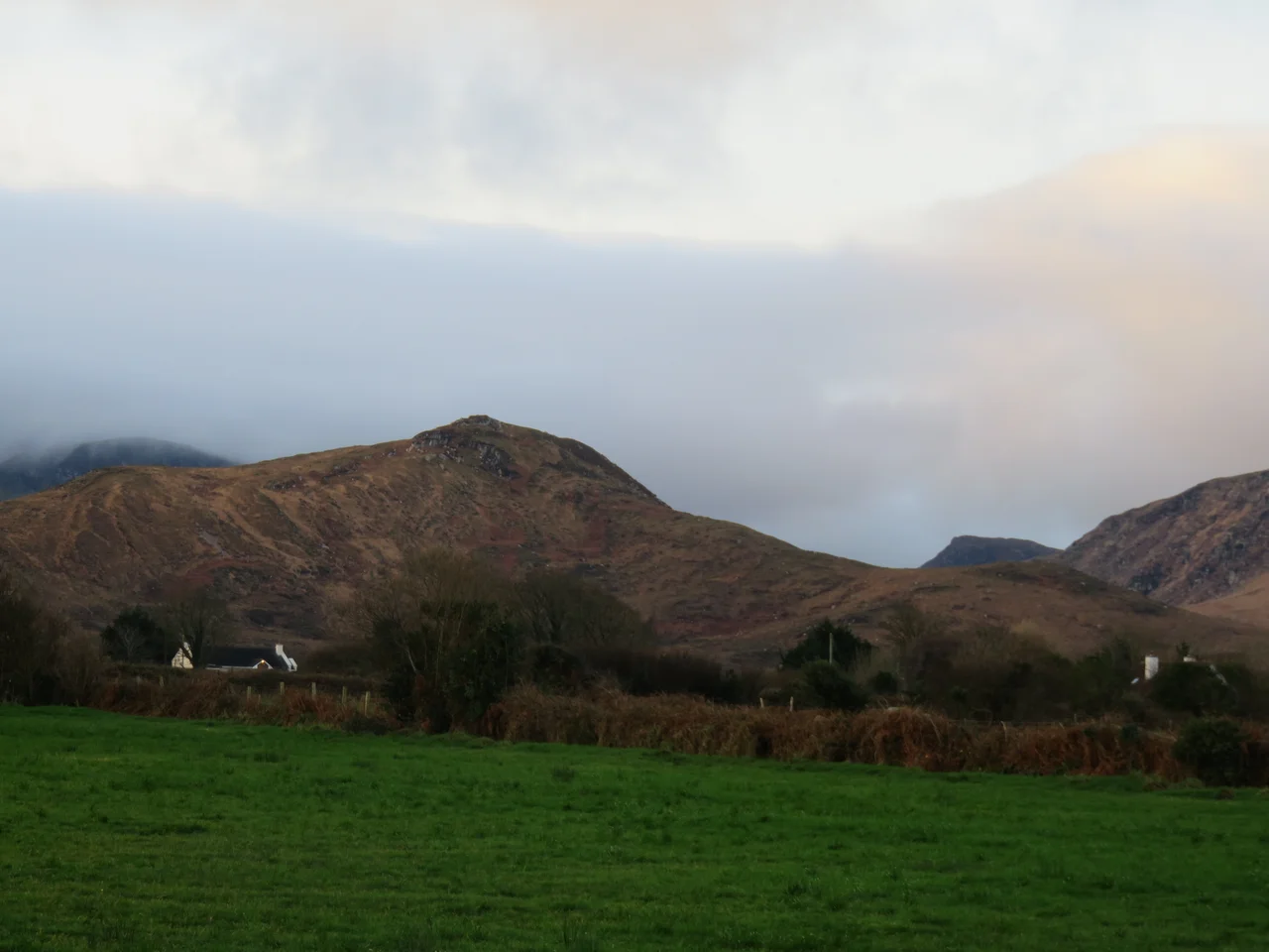

Mountains of the Central Dingle Peninsula
From the air, the Dingle Peninsula reads as a long, narrow finger of land pointing west into the Atlantic - thirty miles long, ten miles wide at its broadest. Down the middle of that finger runs a spine of mountains. They are not famous mountains. Most people who hike Kerry climb the higher, sharper peaks of MacGillycuddy's Reeks across Dingle Bay to the south, or push west to Mount Brandon at the peninsula's outer tip. The central Dingle range gets less attention. But its highest summit, Beenoskee, rises 826 metres straight from sea level - a vertical extraction more dramatic than most of what passes for mountains in Ireland - and the range as a whole forms the watershed and the weather-maker for everything around it.
Beenoskee, the Quiet Giant
Beenoskee - in Irish Binn os Gaoith, meaning the peak above the wind - is the highest summit in the central Dingle range at 826 metres, the second-highest in the whole peninsula after Mount Brandon. The mountain rises from a base only a few kilometres from the sea, which gives its profile from Brandon Bay an exaggerated steepness. The ascent from the north is short and brutal. The southern approach from Anascaul is longer but gentler. From the summit on a clear day, the view extends west across the lower hills to Mount Brandon, south across Inch Strand to the Iveragh Peninsula and the MacGillycuddy's Reeks, north over the Maharees to the Shannon estuary, and east to the Slieve Mish range. Clear days are not the rule. Beenoskee, like most Irish mountains, generates its own cloud.
The Range Roll-Call
Behind Beenoskee, the range stretches east-west across the centre of the peninsula. Stradbally Mountain - Cnoc an tSraidbhaile - is the next-highest at 798 metres, separated from Beenoskee by a high col. Slievanea and its north-east top sit further west. An Cnapan Mor (the Big Lump, 649 metres) and Cnoc na Banoige (Hill of the Grassy Patch, 642 metres) form the central section. Coombane, Croaghskearda, Knockmulanane, and Beenatoor extend the chain. Toward the eastern end, names like Sliabh na nGabhar (Mountain of the Goats), Cummeen, Gob an Iolair (Beak of the Eagle), and An Starraicin (the Steeple) describe a landscape that was named by people who watched it carefully. Twenty-three distinct named summits make up the central Dingle range as catalogued by Irish hill-walking authorities.
Made by Ice
The peninsula's mountains are the work of the last ice age. As the climate warmed and the glaciers retreated, melting ice carved deep U-shaped valleys, scoured corries into the north-facing slopes, and dumped moraines at the lower elevations. Beenoskee's northern face holds a classic corrie lake set in a glacial bowl, fed by snowmelt in spring and rainfall the rest of the year. The valleys radiating south from the central range - Anascaul, Comeenoole, Glenfahan - all show the cross-section of glacial action: steep walls, flat floors, scattered erratics. The bedrock is Devonian Old Red Sandstone, the same coarse, rust-coloured rock that builds the higher Reeks across the bay. The summits are mostly grassy, with peat and rock outcrops; the lower slopes carry mountain bog, heather, and bracken.
What Lives Here
The range is designated as part of a Special Area of Conservation. The habitat includes blanket bog, upland grassland, and alpine and subalpine heath. Hen harriers patrol the heather. Peregrines nest on the cliffs of the higher corries. The mountains hold one of the last Irish populations of red grouse, though numbers have declined sharply. Mountain hares - the Irish subspecies that turns paler in winter but does not go fully white - graze the upper slopes. Sheep are everywhere; the range is grazed under commonage rights that go back centuries, which is the principal reason the upper slopes are open grassland rather than scrub. The grazing is also the principal reason regeneration of native trees and shrubs is so limited. The mountains are wilder than the lowlands and yet thoroughly worked.
Walking the Spine
The Dingle Way long-distance trail traverses the foothills of the range, looping around the peninsula on a 162-kilometre circuit. Serious walkers leave the trail and head up. Beenoskee and Stradbally Mountain can be combined into a long day from the Connor Pass or from Anascaul. The middle peaks - An Cnapan Mor, Slievanea - link into a high traverse for the determined. The trails are not waymarked at altitude. Cloud descends without warning. Walkers carry maps and compasses and learn to trust them. The Mountain Rescue teams who cover the peninsula are busy in summer with hikers caught out by sudden weather. The reward, when the weather plays fair, is some of the loneliest high ground in Ireland - empty, wide-open, with the Atlantic visible in three directions and the lower country spread out below like a relief model.
From the Air
Located at 52.21 degrees N, 10.08 degrees W, the central Dingle Peninsula range runs east-west across the middle of the peninsula. Recommended viewing altitude 5,000 to 8,000 feet AGL to take in the full ridgeline from Beenoskee (826 m) and Stradbally (798 m) at the high end down through the lower peaks. Brandon Bay lies north, Dingle Bay south. Nearest airport is Kerry (EIKY), about thirty kilometres east near Farranfore. The mountains generate severe orographic weather - expect rapidly forming cloud, turbulence in westerly flow, and minimum safe altitudes that can suddenly become inadequate if cloud lowers.
Nearby Stories
- Castleisland 7.4 km away
- Kilrush 9.1 km away
- Ring of Kerry 12 km away
- Kilgarvan 15 km away
- Inishtooskert 18 km away
- SM U-68 27 km away
- Kilkee 29 km away
- RMS Carinthia (1925) 74 km away