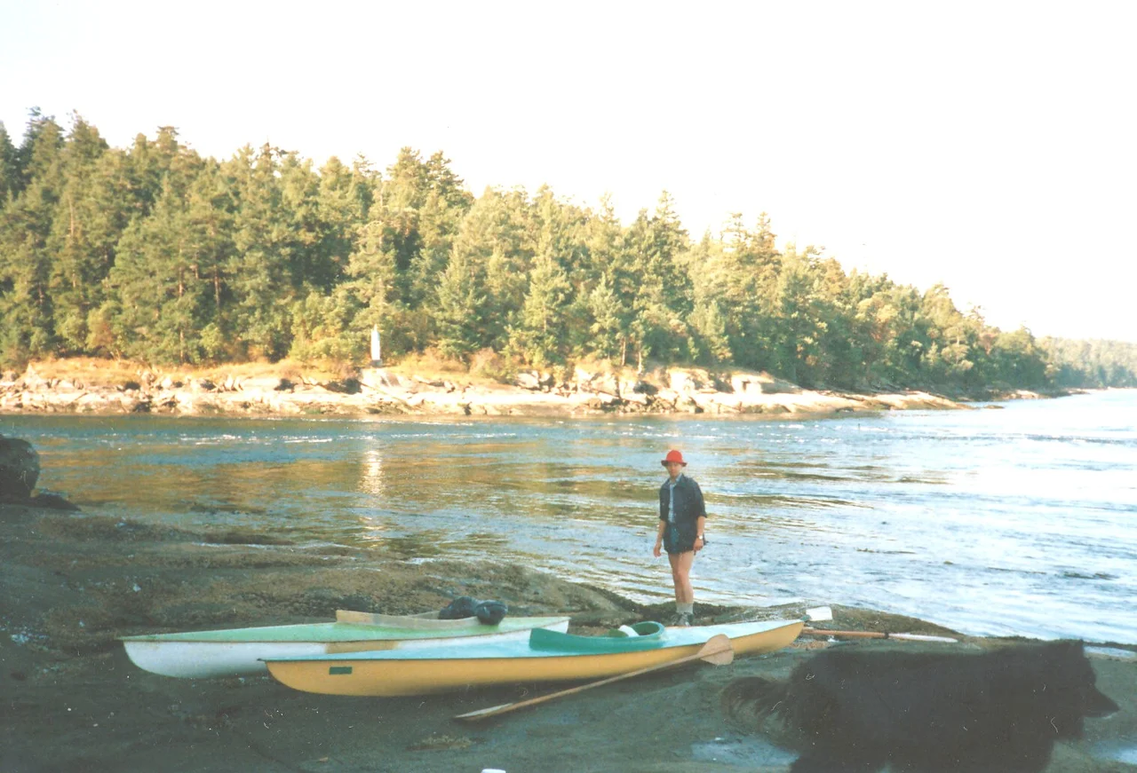
.jpg)
Mudge Island
On a big tide, boats queue up on both sides of Dodd Narrows and wait for the water to stop. The passage narrows to about sixty yards (55 metres) at its slimmest, roughly a nautical mile long, and the current running through it can hit nine knots - fast enough to turn the channel into standing whitewater and fast enough to hold a sailboat motionless at full throttle. There is a window of a few minutes at slack, and everyone knows it. Boats go through in a nose-to-tail procession, then the gate closes again. On the far side of that gate sits Mudge Island: four square kilometres of forest and dirt road with about 140 year-round residents, no bridge, no ferry, and no particular interest in acquiring either.
The Gate and the Island
Mudge sits in the Strait of Georgia between Vancouver Island and Gabriola, at the southern end of the De Courcy group. Water defines it on every side, and each stretch of that water has a job. Dodd Narrows separates the island from Vancouver Island; False Narrows separates it from Gabriola. The island's northern tip marks both the southern limit of the Port of Nanaimo and the southernmost point of Northumberland Channel, while Stuart Channel opens to the south. For a piece of land barely visible on a provincial map, Mudge carries a surprising amount of nautical bookkeeping. Its position is the whole story: it is the plug that forces all that tidal water through two narrow gaps instead of one wide one, and that constriction is what makes the current run the way it does.
The May Camps
Long before any of those boundaries existed, this was Snuneymuxw water, and the rhythm was seasonal. Families wintered in permanent villages at Departure Bay, Nanaimo Harbour, and False Narrows, then moved out in May to fishing camps at False Narrows and Dodd Narrows to work the waters around Mudge Island, Stuart Channel, and Gabriola Pass. The narrows were not an obstacle to be timed but an asset to be harvested - a place where fish were funnelled into a predictable channel twice a day, every day. Archaeology at the False Narrows village records habitation going back more than two thousand years, along with the clam gardens and stone fish traps that made this coast productive enough to support large winter settlements. The same tidal engine that boaters now nervously schedule around was, for a very long time, the reason to be here.
Named in Passing
The island's current name arrived in 1859 with a survey ship. Captain George Henry Richards, commanding HMS Plumper, spent that season charting the coast and handing out names at a steady clip - a process that erased a great many older ones. Mudge Island honours William Fitzwilliam Mudge, one of Richards's officers. There is no evidence he ever lived here, farmed here, or did anything more with the place than appear on a crew list while it was being drawn. That is how most of the Gulf Islands acquired their labels: a naval officer with a pen, a rowboat crew taking soundings, and a long list of colleagues and superiors who needed commemorating.
Dirt Roads and Fibre Optic
Mudge today is almost purely residential - about 140 people year-round, more than 200 in summer, a network of dirt roads, and a private marina called Moonshine Cove. There is no scheduled transport of any kind. Getting home means owning a boat and knowing the tide tables, which is an effective filter on who chooses to live here. What makes the arrangement more interesting than mere rustic isolation is the infrastructure: BC Hydro power, telephone, cable television, and fibre-optic internet, which no other small island in the De Courcy group has. Residents run businesses out of their houses. The result is a place where you can join a video call from a cabin at the end of a gravel track and still not be able to leave until the current slackens.
Living on Tidal Time
That combination - twenty-first-century bandwidth, eighteenth-century access - shapes daily life in ways that are easy to underestimate. A grocery run is planned around slack water. So is a medical appointment, a school pickup, a delivery. The tide does not negotiate and it does not care what is on your calendar. Islanders describe this less as hardship than as a kind of imposed patience, a rhythm borrowed from the water rather than the clock. Kayakers and paddleboarders who circumnavigate Mudge learn the same lesson faster and more sharply, because the narrows punish improvisation. Two thousand years of people have organized their days around this current. The fibre is new. The schedule is not.
From the Air
Mudge Island lies at 49.131 N, 123.791 W in the Strait of Georgia, immediately southeast of Nanaimo. A viewing altitude of 2,000-4,000 feet MSL is ideal - low enough to resolve the dirt-road network and the Moonshine Cove marina, high enough to take in the whole island with Gabriola to the northeast and Vancouver Island to the west. The two narrows are the navigational signature: Dodd Narrows on the west side shows as a hairline gap between Mudge and Vancouver Island, often marked by a visible tide rip and a line of waiting boats, while False Narrows runs along the northeast shore toward Gabriola. Northumberland Channel and the industrial waterfront of the Port of Nanaimo lie just north. Nanaimo Airport (CYCD) sits about 4 nm southwest on the Vancouver Island shore, with Nanaimo Harbour Water Aerodrome (CAC8) just north and Victoria International (CYYJ) some 50 nm southeast. Watch for heavy floatplane traffic on the Nanaimo-Vancouver corridor and frequent summer marine haze over the strait.
Nearby Stories
- Active Pass 5.9 km away
- Skutz Falls 9.5 km away
- South Thormanby Island 11 km away
- Qualicum First Nation 12 km away
- Gulf of Georgia Cannery 15 km away
- Little Qualicum Falls Provincial Park 20 km away
- Nitinat Lake 26 km away
- Britannia Mine and the Mountain That Bleeds 29 km away