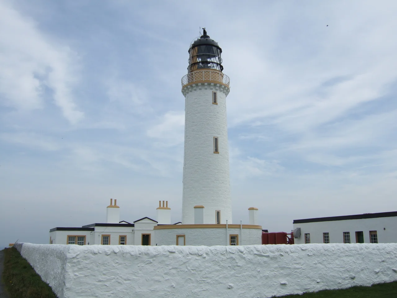

Mull of Galloway
Stand at the railing beside the Mull of Galloway lighthouse on a clear day and the geography arranges itself in three directions at once. Northern Ireland sits low on the western horizon. The Isle of Man rises out of the southern haze like a long blue back. Behind you, the peninsula of the Rhins narrows to nothing under the wheeling gulls. This is the southernmost place in Scotland. Cross to the railing on the far side of the headland and you are looking at England, just visible across the Solway Firth. Few patches of British ground show you so much at once.
A Rounded Headland in Gaelic
Mull, in Scottish geography, simply means a rounded headland or promontory - the same word that gives the Isle of Mull its name far up the west coast. The Mull of Galloway is exactly that: a great rounded snout of cliff at the tip of the Rhins of Galloway, the hammer-headed peninsula that hangs off the southwest corner of mainland Scotland. The Rhins runs north to south and ends here in a 200-foot drop into the Irish Sea. The Mull is also officially the most southerly hill in Scotland - not high, but high enough to make the wind work for its passage. The clifftop carries one of the last remaining stretches of natural coastal habitat anywhere along the Galloway coast, and the RSPB now manages the whole headland as a nature reserve.
Stevenson's White Tower
The lighthouse went up in 1830, designed by Robert Stevenson - grandfather of the novelist Robert Louis Stevenson and the most celebrated engineer in a family that built nearly every important Scottish lighthouse of the nineteenth century. The white-painted round tower stands 26 metres high, and because the cliff lifts it further, the light burns 99 metres above sea level, throwing its beam 28 nautical miles out to sea. The keepers' houses and tower are designated as a Category A listed building - the highest level of protection in Scotland. There are no keepers any more. The light has been automated for years, and the cottages that once held lighthouse families have been put to new use.
The Beaufighter at Half-Past Seven
On the evening of 8 June 1944 - two days after D-Day, with the Allied invasion just beginning to push inland in Normandy - a Bristol Beaufighter struck the Mull of Galloway lighthouse at half past seven in the evening. The pilot was Claudius Echallier, a Frenchman flying for the British Air Transport Auxiliary - the civilian ferry service that delivered new aircraft from factories to operational squadrons. He had been making a low approach over the Irish Sea, finding landfall in the failing light. He did not survive. The ATA's pilots flew without armament, without navigation aids, and very often without weather information. Their losses are not counted in any battle, but the lighthouse where Echallier died still stands, and his name still appears on the wartime register of a service that has been largely forgotten.
Community Buyout
When the lighthouse went fully automatic, the future of the buildings around it became uncertain. The Northern Lighthouse Board no longer needed keepers' cottages or outhouses. So in 2013 the community did what small Scottish communities have started doing more and more often - they bought the place themselves. The Mull of Galloway Trust, formed by local residents and businesses, purchased the land and buildings from the Northern Lighthouse Board, with the tower itself remaining in the Board's care. The South Rhins Community Development Trust now runs a visitor centre inside the old outbuildings. The headland that once belonged to a government department now belongs, in a real sense, to the people who live within sight of its beam.
A Café with a Turf Roof
In 2004 a café opened just back from the cliff edge, low and tucked into the slope, with a roof of growing turf. It is called Gallie Craig, and from the inside the windows frame those three coastlines - Antrim and Down to the west, the Isle of Man to the south, the Galloway shore curling away east. The architectural choice was deliberate. A traditional building here would have stuck out against the cliffs and the sea. A grass-roofed building disappears. The wind goes over it instead of into it. The Mull of Galloway Trail, one of Scotland's officially designated Great Trails, begins from this point and runs 59 kilometres north via Stranraer to Glenapp near Ballantrae, where it connects with the Ayrshire Coastal Path. For walkers, the journey north along Scotland begins here, at its most southerly latitude.
From the Air
Located at 54.64°N, 4.86°W at the tip of the Rhins of Galloway peninsula in southwest Scotland - the southernmost point of mainland Scotland. The white Robert Stevenson lighthouse (1830) sits on a 100-metre cliff with a light range of 28 nm. From cruising altitude in clear weather, three coastlines are visible at once: the County Down and County Antrim coast of Northern Ireland to the west across the North Channel, the Isle of Man to the south, and the Cumbrian coast to the southeast. Nearest airports: West Freugh (EGOY) just north on the Rhins, with Prestwick (EGPK) further north on the Ayrshire coast for any longer trip. The MoD Luce Bay range lies to the northeast and is normally active - check NOTAMs. Cruise around 2,500-4,500 ft along the peninsula for the best views of the cliffs, the lighthouse, and the three-country panorama.
Nearby Stories
- Peel Castle 11 km away
- Ballywalter 14 km away
- SS Georgetown Victory 16 km away
- Threave Castle 19 km away
- Raeberry Castle 25 km away
- Battle of Glen Trool 32 km away
- Larne 35 km away
- Black Combe 58 km away