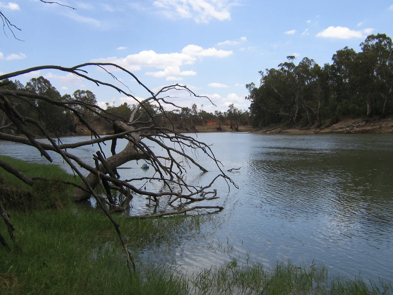

Murray River
To the Ngarrindjeri people of its lower reaches, the Murray was made by a fish. In the Dreaming, the ancestor Ngurunderi chased a giant Murray cod named Pondi down the length of the country, and the great fish, swerving and thrashing to escape his spears, swept the river's channel and tributaries into being with its tail. It is a fitting origin for the strangest of great rivers. At 2,508 kilometres the Murray is Australia's longest, the spine of a basin draining one-seventh of the continent, and yet it is a curiously modest flow, carrying only a sliver of the water a river its size would hold anywhere else, prone to drying up completely in the worst droughts. Modest or not, it is the most important river in Australia, and the Ngarrindjeri were not wrong about its power.
The Fish That Made the River
The story of Ngurunderi and Pondi is one of the oldest pieces of literature on the continent, and versions of it stretch across the enormous span of the Murray system. The Ngarrindjeri around Lake Alexandrina tell of Ngurunderi paddling his bark canoe in pursuit of the cod, who carved each weaving bend and branching tributary in its desperate flight, until the chase ended near the lake and the great fish was finally caught and cut into the many species that swim the river still. Far upstream, the Wotjobaluk people of Victoria tell their own version, of the hero Totyerguil chasing the cod Otchtout from the country near Swan Hill. For one of the major rivers of the driest inhabited continent, such cultural weight is no surprise. The Murray was, and is, life itself.
A River Older Than the Mountains
The Murray's geological story is a saga of upheaval. Between 2.5 million and half a million years ago, the river didn't reach the sea at all; it drained into Lake Bungunnia, a vast inland freshwater sea covering 33,000 square kilometres, formed when earth movements dammed the river. When the lake finally drained around 600,000 years ago, it marked the end of a wet age and the onset of the dry conditions Australia knows today. Even more striking is the Cadell Fault. About 45,000 years ago the ground heaved upward along this line, and the Murray, blocked, split and detoured around it. The chaos of redirected channels and regular flooding it created was perfect for one tree, the river red gum, which rose into the magnificent Barmah forests that still line the river, born directly from an ancient earthquake.
The Border and the Naming
When Europeans arrived they could not even agree on what to call it. Hamilton Hume and William Hovell crossed it near present-day Albury in 1824 and named it the Hume, after Hume's father. Six years later Charles Sturt, having floated down the Murrumbidgee, reached the same water and named it the Murray for a British colonial secretary, never realising it was the river Hume had already found upstream. Sturt rode it all the way to Lake Alexandrina and the sea. The Murray went on to become a border too, dividing New South Wales from Victoria along the top of its southern bank, a boundary so legally peculiar that in 1980 the High Court of Australia had to rule on which state held jurisdiction over a man who died fishing from the Victorian edge.
The Age of the Paddle Steamers
For roughly seventy years, the Murray was a working highway. The first paddle steamers churned upstream on the spring flood of 1853, the Lady Augusta reaching Swan Hill and the Mary Ann pushing toward Echuca, and within a decade dozens of shallow-draught steamers and barges worked the river in the high-water season. Echuca became Victoria's second port, shipping the wool clip of the Riverina down to Melbourne. It was never easy water. The river was choked with "snags," whole drowned trees that could tear a hull open, and crews fought them with steam-winched barges. The unreliable, shifting levels eventually doomed the trade once railways reached the river. Today the paddle steamers carry tourists, not wool, but the great wooden boats still turn their wheels on the same brown water their ancestors did.
A Lifeline Under Strain
The modern Murray is plumbed, locked, and fought over. From 1915 the three Murray states agreed to build storage dams, and a chain of locks and weirs followed, while barrages near the mouth hold back the sea. The river was inverted: its natural winter-spring floods and summer dry were reversed to keep water flowing for irrigation, making the Murray Valley the nation's most productive farmland and supplying 40 percent of Adelaide's drinking water. The cost has been heavy. Salt is rising through the soil, European carp have wrecked native habitat, the red gum forests have suffered through brutal droughts, and at the very end the Murray Mouth would silt shut and strangle the Coorong's lagoons were it not dredged 24 hours a day. The river that a cod once carved now depends on machines to reach the sea. Saving it remains one of Australia's hardest and most urgent tasks.
From the Air
The Murray River runs 2,508 km from the Australian Alps to the Southern Ocean; this story's coordinates (36.80°S, 148.19°E) sit near the alpine headwaters, though the river's character changes utterly along its length. From the air the Murray is unmistakable: a brown, heavily meandering channel fringed almost continuously by the dark green ribbon of river red gum forest, forming the NSW-Victoria border for much of its course before swinging south through South Australia to Lake Alexandrina and the Murray Mouth east of Goolwa. Key landmarks include the Barmah forest and choke, the paddle-steamer port of Echuca, the irrigation country around Mildura, and the barrages and dredged mouth at the Coorong. Numerous airfields line the river, among them Albury (ICAO YMAY), Echuca (YECH), Mildura (YMIA), and Renmark (YREN). Conditions vary from alpine turbulence near the source to hot, hazy, thermally active air over the inland plains in summer; watch for reduced visibility in dust and irrigation haze.
Nearby Stories
- Bundian Way 23 km away
- Mount Kosciuszko summit trails 62 km away
- Snowy River 85 km away
- Beechworth 90 km away
- Glenrowan, Victoria 134 km away
- Walhalla, Victoria 143 km away
- Parliament House, Canberra 144 km away
- 2003 Fiordland Earthquake 1763 km away