
Mount Kosciuszko summit trails
Mountaineers chase the Seven Summits, the highest peak on each continent, and most are an ordeal of ice, altitude, and risk. Then there is Mount Kosciuszko. At 2,228 metres it is the tallest point on mainland Australia, and reaching the top of it is, by the standards of that famous list, almost gentle. Locals in the Snowy Mountains barely call the routes hikes; they call them walks. You can ride a chairlift most of the way up, stroll across alpine meadows on a raised metal path, and stand on the trig marker that crowns a continent, all before lunch. It may be the only one of the Seven Summits you can finish in an afternoon and still feel you have seen something wild.
Remote, Without Really Being Remote
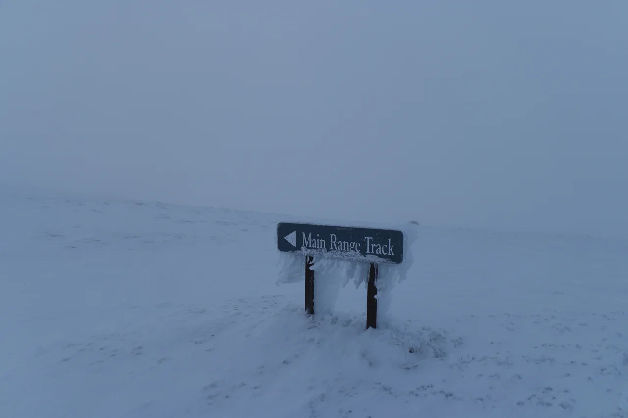
The trails pull off a strange trick. They feel genuinely alpine and faintly Outback-vast, all big sky and treeless rolling tops, yet the ski villages of Thredbo and Charlotte Pass sit close at hand with hot food and warm clothing for sale. That nearness can lull you. Snow regularly drapes these paths, almost guaranteed in winter and lingering on the final stretch even in summer. Storms blow in off the Main Range with little warning, hurling gusts that can top 150 kilometres an hour and dropping visibility to nothing. In the warm months the essentials are modest: water, a jacket, sturdy shoes. In winter the same walk becomes serious country, demanding a topographic map, real boots, and the humility to turn back when the weather says so.
The Walk from the Top Station
The most popular route starts above the trees. The Kosciuszko Express Chairlift lifts you out of Thredbo to the Top Station at around 1,930 metres, and from there a raised steel walkway leads roughly six and a half kilometres to the summit. The first stretch is laced with little meltwater waterfalls spilling on both sides of the path. You climb gently past lookouts, dip to cross the infant Snowy River near its very source, then rise toward Rawsons Pass, where the path from Charlotte Pass joins yours. The last stretch to the top is the steepest and most exposed, spiralling up the flank of the mountain to the trig point. Stand there and you have climbed a Seven Summit, with the whole rumpled roof of Australia falling away around you.
A Lake at the Edge of the Sky
Partway along, a modest plaque marks the Cootapatamba lookout, easy to miss if you are not watching the left side of the trail. It overlooks Lake Cootapatamba, a tarn scooped out by ancient glaciers and held at 2,048 metres, the highest lake on the Australian mainland, sitting only about 800 metres south of the summit itself. The glaciers that carved it are long gone, but the shape they left behind is unmistakable, a cold blue eye in the rock. The name comes from the local Ngarigo language. Stopping here is a reminder that this rounded, walkable mountain has a deep-time geology to match the granite drama of any sharper peak; it simply wears its history more quietly.
Names and Memory on the Range
Every landmark up here carries a story. The mountain itself was named in 1840 by the Polish explorer Pawel Strzelecki, who climbed to the top and honoured Tadeusz Kosciuszko, a hero of both the Polish struggle for independence and the American Revolution, so that Australia's highest point bears the name of a freedom fighter from the other side of the world. On the longer Charlotte Pass route stands Seamans Hut, built of stone in 1929 as a refuge and a memorial to two skiers, Laurie Seaman and Evan Hayes, who died in a blizzard on these slopes, a sober note in a landscape that can turn deadly fast. Long before any of these names, the Ngarigo people and their neighbours walked this high country each summer, following the bogong moths to the peaks. The walk to the summit traces a path far older than its maps.
From the Air
Mount Kosciuszko crowns the Main Range of the Snowy Mountains at 36.46 degrees south, 148.26 degrees east, its summit at 2,228 metres, roughly 7,310 feet. From the air the peak is a rounded high point amid treeless alpine tops rather than a sharp horn, with Lake Cootapatamba glinting just to its south and the ski runs of Thredbo cut into the slopes to the southeast. Cooma-Snowy Mountains Airport (YCOM) lies to the northeast on the Monaro tablelands; Canberra (YSCB) is the nearest major airport. Alpine weather is volatile, with sudden cloud, severe turbulence, and winds over 150 kilometres an hour possible; clear, stable conditions at 9,000 to 11,000 feet give the safest and best view of the Main Range.
Nearby Stories
- Murray River 6.5 km away
- Bundian Way 31 km away
- Snowy Mountains Scheme 39 km away
- Beechworth 88 km away
- Parliament House, Canberra 107 km away
- Old Parliament House, Canberra 136 km away
- Walhalla, Victoria 171 km away
- Warangesda Aboriginal Mission 233 km away