Ndola
The plane was inbound. That is the fact that shapes almost every theory about what happened outside Ndola on the night of September 18, 1961. Dag Hammarskjold, the second Secretary-General of the United Nations, was flying in to broker a ceasefire in the Katanga crisis, with every piece still on the board. His DC-6 crashed on approach. All sixteen aboard died. More than sixty years of inquiries and conspiracies have followed, with theories ranging from pilot fatigue to an aerial attack. A man in his position does not leave behind the certainty of anything, least of all the circumstances of his own death. Ndola is the city that has carried that uncertainty ever since - a mining town on the Copperbelt of northern Zambia, ten kilometers from the Democratic Republic of Congo, where the world briefly turned its full attention and then turned away.
The Copper Under Everything
The Copperbelt exists because of plate tectonics - slow grinding collisions in geological time that pushed copper-rich veins toward the surface across northern Zambia and the Katanga finger of what is now the Democratic Republic of Congo. Colonial powers split it between them: Belgium took what became the DRC, Britain took Northern Rhodesia that became Zambia. The profits traveled to Brussels and London. The labor stayed underground, in hazardous conditions for wages that could not remotely match the value of what was being hauled out. Independence in 1964 rearranged the names on the ownership paperwork but did not rearrange much else for the miners themselves. A local political class replaced a foreign one. Resentment over who shared in the profits - and who did not - became the fuel for separatist movements that echoed, almost word for word, the rhetoric once aimed at the colonists. In Zambia, Kenneth Kaunda kept that pressure contained. Across the border, the Congo Crisis spiraled into civil war.
The Night of the Crash
Hammarskjold's aircraft came in to Ndola in the hours after midnight. The flight had originated in Leopoldville - today's Kinshasa - and his mission was to meet with Moise Tshombe, the leader of Katanga's secessionist government, and negotiate a ceasefire. Instead, the DC-6 descended into forest about fifteen kilometers west of Ndola and broke apart on impact. Hammarskjold was found still strapped into his seat, thrown clear of the fuselage. A playing card - the ace of spades, according to one persistent account - was tucked into his collar, though researchers have argued that detail is apocryphal. Investigations since have ranged across every possibility: pilot error on a difficult visual approach, fuel exhaustion, altimeter misreading, small-arms fire from a second aircraft. The released Swedish-led inquiry of 2017 concluded that an external attack was plausible enough to warrant further investigation. The key point, as the Wikivoyage writer put it plainly, is that he was inbound. He had every reason to live. The conspiracy theories get most of the attention. The pilot-fatigue explanations probably deserve more.
What Mining Built and Took Away
Ndola powered the Zambian economy for decades. Its refineries processed copper from across the Copperbelt. Its railheads sent ingots south toward the Cape, north toward the Congo, and eventually toward the Atlantic through the Benguela corridor. Then the 1970s happened: copper prices crashed just as oil prices soared, and a country built on a single commodity sank under debts it could not service. Ndola did not recover the way Lusaka or even Kitwe did. It diversified into limestone - Zambia's cement industry has long drawn on Ndola's reserves, among the most homogeneous in the world - and when copper prices climbed back up after 2005, the windfall was visible in national balance sheets more than in the streets of the city itself. The Friendly City is what Ndola calls itself on the road signs. The friendliness is genuine. The economic glory days are still a reference point, not a present reality.
Getting There and Being There
English and Lamba are the languages you will hear most, the latter carrying the oldest layer of the city's history - the Lamba people have been here since the 1600s, led in this region by Senior Chief Chiwala. The drive from Lusaka takes four to five hours on good pavement. Buses run all day: Juldan Motors, UBZ, Power Tools Logistics. The 58 kilometers to Kitwe take 45 minutes. Kapiri Mposhi, 121 kilometers away, is three hours. Trains still run from Livingstone via Lusaka on Zambia Railways' once-weekly Zambezi service, though twenty-two hours is a commitment. For flights, Simon Mwansa Kapwepwe International Airport sits fifteen kilometers west of downtown, just north of the Hammarskjold crash site memorial. That proximity, like most things about Ndola, is not an accident of geography. Come to this city and the history is layered just below whatever surface you think you are walking on.
From the Air
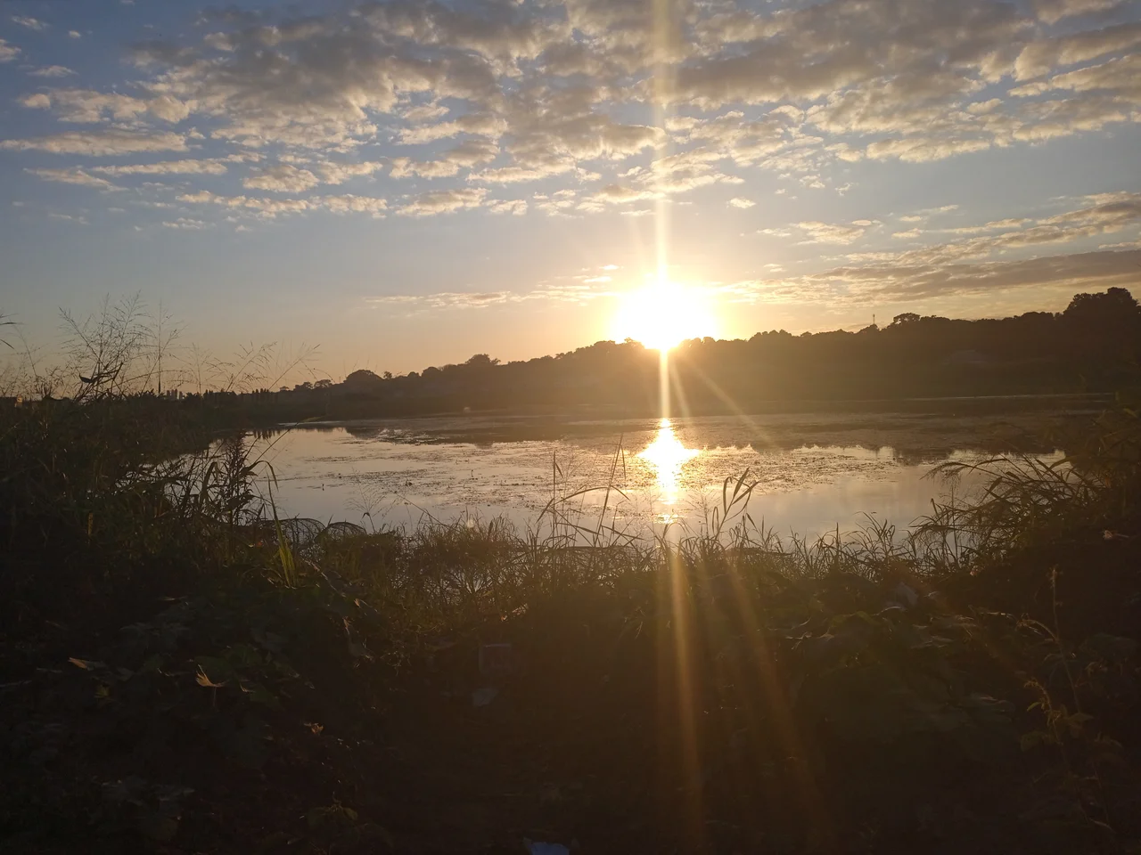
Located at 12.97°S, 28.63°E, elevation 1,269 m (4,163 ft). Ndola sits in Zambia's Copperbelt Province, 10 km from the DR Congo border. Simon Mwansa Kapwepwe International Airport (FLSK, IATA: NLA) lies 15 km west of downtown. The Dag Hammarskjold Crash Site Memorial is just south of the airport. Visible landmarks from altitude: the Levy Mwanawasa Stadium (seating 50,000) in the northwest, the Indeni oil refinery, and cement plants southeast of the city. The Kafubu River threads south of downtown. Lake Chilengwa - a limestone sinkhole - is 14 km east at approximately 12°58'S 28°45'E. Recommended viewing altitude 6,000-10,000 ft AGL. Dry season (May-October) gives clearest views; wet season haze can obscure the city.
Nearby Stories
- Chambishi 8.2 km away
- Kalulushi 9.2 km away
- Lake Kashiba 36 km away
- Congo Pedicle 43 km away
- Central Province, Zambia 98 km away
- Kasanka National Park 144 km away
- Zambezian flooded grasslands 173 km away
- Bangweulu Wetlands 177 km away