
Nea Peramos
The town has two names layered on top of each other, and both of them point elsewhere. Nea Peramos — New Peramos — was called Megalo Pefko before the 1990s, and before that it was no town at all but a stretch of shoreline on the Bay of Megara. The people who settled it came from a place called Peramos, near Bandirma on the Sea of Marmara in what is now Turkey, and they were expelled from their ancestral home in 1922 during one of the most traumatic forced displacements in modern Greek history. They arrived here with almost nothing, built their first school from timber scraps, worshipped for years in a wooden shed, and eventually named their new settlement for what they had been forced to leave behind.
The Shore Between Two Cities
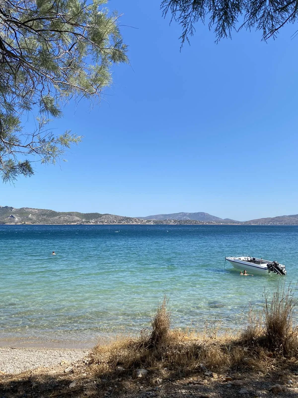
Nea Peramos occupies a particular geographic position: 7 kilometers east of Megara, 11 kilometers west of Eleusis, directly opposite the island of Salamis across the narrow waters of the Saronic Gulf. This was, in antiquity, contested ground — the boundary zone between the rival city-states of Athens and Megara, with the shoreline resort of Loutropyrgos sitting precisely on the old frontier. Today the A8 motorway passes north of town, the Proastiakos suburban rail line stops at Nea Peramos station, and a ferry runs from the fishing harbor to Salamis, close to the Monastery of Panagia Faneromeni.
The town developed along the seafront rather than the hills, spreading parallel to the coast and the old national road, National Road 8, which still runs through its center. Two tall apartment blocks — 12 stories and 10 stories — stand as the most visible landmarks in an otherwise low-rise streetscape of schools, churches, military camps, and the kind of quiet commercial life that fills a small Greek seaside municipality.
Expelled from Peramos, 1922
The story of Nea Peramos is inseparable from the catastrophe the Greeks call the Asia Minor Catastrophe — the collapse of the Greek military campaign in Anatolia and the mass expulsion of ethnic Greeks from Turkey in the aftermath of the Greco-Turkish War. In 1922, the Greek residents of Peramos, a town near Bandirma on the southern shore of the Sea of Marmara, were forced to flee before the advancing Turkish military. Some ended up in Kavala on the Greek northern coast; others made their way to the Megara area.
The Greek government of Eleftherios Venizelos allocated land near Megara to these refugees so they could rebuild their lives. They arrived into a landscape still recognizable from the descriptions of ancient travelers — the Saronic Gulf, Salamis on the horizon, the hills of Attica behind them — and they began again from almost nothing. Their first school was a wooden shack that doubled as a church on Sundays. From the old Peramos, the refugees had brought with them an icon of Saint George. Eventually they built the Church of Saint George to house it: a permanent home for an object carried across a sea from a home that no longer existed for them.
Pigeon Flyers and the Sardine Night
Contemporary Nea Peramos has a population of several thousand and the rhythms of a working Attic coastal town. Three military installations, including the Artillery School and the Army Special Forces base, give it a particular character — the town is intertwined with the Greek military, as coastal Attic municipalities often are.
Its cultural life runs quieter but persistent. The Fair of Saint George in April, the Klidonas midsummer festival on Saint John's Day, and Sardine Night in late August mark the calendar. The Association of Peramians Kyzikians preserves the memory and customs of the Asia Minor refugees. The Nea Peramos Women's Association and Cultural Association 'Aghios Panteleimon' keep other social traditions alive.
Perhaps the most unusual local pastime is sport pigeon flying. Fifteen teams in Nea Peramos alone — out of roughly 900 in the whole of Attica — train pigeons in high flying, diving, and spiraling, competing in a craft that requires patience, expertise, and the right kind of open sky over the coast.
The Old Road and the New Name
The old Greek National Road 8 runs through the heart of Nea Peramos, parallel to the coastline, and it is one of the oldest routes in the country — the road from Athens to Corinth, which ancient travelers walked and which carries traffic today. Along its length in Nea Peramos stand the church, the former town hall, the traditional olive press that has been donated to the Association of Peramians Kyzikians, and the main civic buildings that organize the town's daily life.
The name change from Megalo Pefko to Nea Peramos in the 1990s was a deliberate act of memory. Three generations after the expulsion, the community chose to rename their town for the place their grandparents and great-grandparents had been forced to leave. The old Peramos is still there — now called Karşıyaka, near Bandirma in Turkey, a different place with a different population — and the New Peramos is here, on the Bay of Megara, carrying the name of a loss that the passage of time has not fully resolved.
From the Air
Nea Peramos lies at approximately 38.000°N, 23.417°E on the eastern Megaris plain, along the Saronic Gulf coast of West Attica. Flying along the coast between Athens International Airport (LGAV) — about 35 km to the east — and Megara to the west, the town is visible as a linear coastal settlement directly opposite the island of Salamis. The strait between Nea Peramos and Salamis is narrow and historically significant; this is close to the waters where the Battle of Salamis was fought in 480 BC. Recommended viewing altitude: 2,000–4,000 feet gives a clear view of the town's coastal layout, the ferry crossing to Salamis, and the Bay of Megara curving toward Elefsina to the northeast.
Nearby Stories
- Hellenic Geodetic Reference System 1987 3.4 km away
- Mount Helicon 4.2 km away
- Siege of Thebes (292–291 BC) 4.8 km away
- Archaeological Museum of Aegina 6.3 km away
- Berbati Valley 10 km away
- Theatre of Thorikos 14 km away
- Sicyon 15 km away
- Euboea 22 km away