Northeastern Brazil restingas
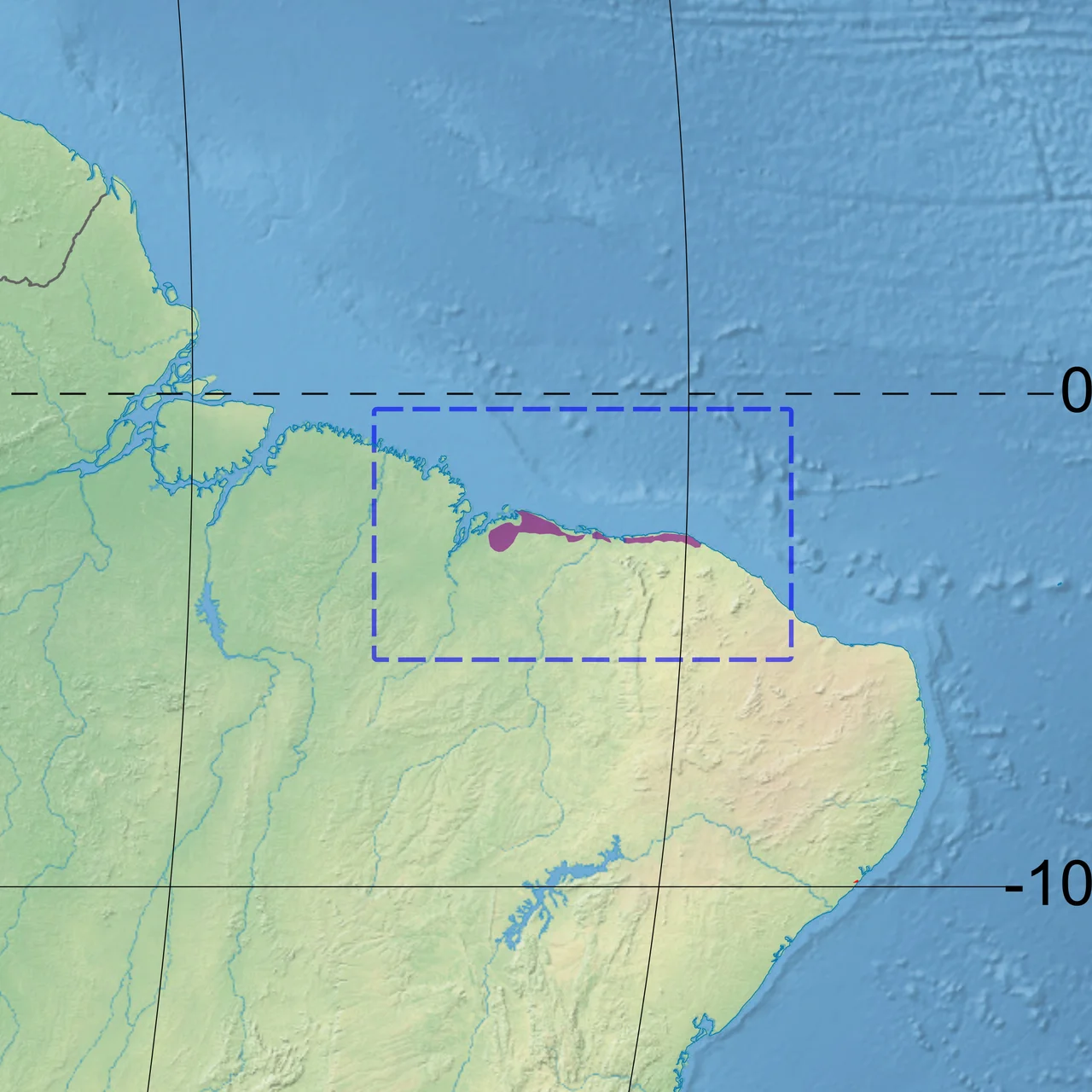
Restinga is a word that does not translate cleanly. It means, roughly, a coastal plant community that grows on sand - forest and shrub and herb layered together on soils too poor and salty for almost anything else. It is one of those Brazilian biome words that reminds you how many distinct ecosystems this country has that English-speakers have no names for. The Northeastern Brazil restingas stretch 400 kilometers along the Atlantic coast and as much as 100 kilometers inland, covering 9,709 square kilometers across eastern Maranhão, Piauí, and western Ceará. They are the northernmost restingas in Brazil, and among the wildest.
What Sand Produces When You Give It Time
Begin with the soil. Sand, acidic, poor in nutrients, drained by heavy rainfall during the short wet season and then baked by months of sun and wind during the dry. That is not a promising medium for life, but restinga plants have spent millions of years learning to handle it. The result is a patchwork - trees and shrubs adapted to salt, herbaceous ground cover on the most exposed dunes, small wetlands where the water table reaches the surface, and mangroves wherever brackish water pools behind the beaches. The Northeastern Brazil restingas overlap on their inland edge with *caatinga*, Brazil's thorny dryland scrub, and on their seaward edge with mangroves and dune systems. The blending of all these vegetation types is what makes the place distinctive.
Where the Numbers Come From
Roughly 29 percent of the ecoregion is herbaceous cover - grasses, sedges, creeping vines. Beach morning glory (*Ipomoea imperati*) runs along the foredunes, its heart-shaped leaves and pink flowers stabilizing the sand against wind. Seashore dropseed and *Iresine* fill in the newer dune surfaces as pioneers. On the floodplains, sedges and panic grasses dominate. Another 20 percent is shrubland, concentrated in the drier eastern portions where the climate leans more strongly toward caatinga. The remaining 34 percent is forest - closed canopy in about half of that, open canopy in the other half - and the moist forest communities cluster along the inland margin and in the southwest. The rest is open water, bare sand, or human-modified land.
The Amazon Connection
What makes the Northeastern Brazil restingas distinct from other Brazilian restingas is where the plants come from. The Atlantic Coast restingas, further south along Brazil's eastern coastline, draw their flora from the Atlantic Forest. But the northeastern restingas pull from the Amazon biome. Species that you would expect to find in rainforest river basins show up here on the coastal sand, their ancestors having migrated east at some point in the deep past and adapted to the radically different conditions. The ecoregion sits at the hinge between Brazil's two great forest systems, and its plant communities reflect that geographic accident. Biogeographers find it a puzzle worth studying.
Lençóis Maranhenses, Embedded
Twenty-nine percent of the ecoregion is in officially protected areas, and the single largest piece of protection is Lençóis Maranhenses National Park at the western edge, where the restingas meet the Baía de São José. Lençóis Maranhenses is famous for its dunes and seasonal lakes, but those dunes are embedded in restinga. The patches of vegetation between the dune fields - the oases where the Baixa Grande and Queimada dos Britos communities live - are restinga islands, held together by roots in a sea of moving sand. The park's tides vary by as much as six meters along its Atlantic fringe, and that tidal range shapes the dune systems as much as the wind does.
The Visible Residents
Scarlet ibis roost in the inter-dune wetlands of this region in flocks large enough to turn the surrounding vegetation red at sunset. Their feeding grounds are the shallow pools, where they probe the mud for crustaceans and small fish. The pigment in their feathers comes from their diet - they are born grey and brown, and only accumulate the distinctive red as they feed, year by year. Sea turtles - olive ridleys, hawksbills, and greens - come ashore to nest on the long unlit beaches, and conservation efforts focus on protecting those nesting sites from development and poaching. Marine and coastal biologists have only recently begun cataloging the fauna of these dunes in any systematic way. What is certain is that the restingas hold species that do not occur anywhere else, adapted to a combination of salt, sand, and sun that is rarer than it looks.
From the Air
Coordinates approximately 2.5°S, 43.0°W (center of the ecoregion). Recommended viewing altitude 5,000-10,000 feet to see the long east-west band of vegetation and dune systems running parallel to the coast. Landmarks: Lençóis Maranhenses National Park forms the western anchor; the Parnaíba River delta is roughly central; the Ceará coast bounds the ecoregion on the east. Nearest airports are Marechal Cunha Machado International (SBSL) in São Luís on the west and Pinto Martins (SBFZ) in Fortaleza on the east. Best visibility July-November; December-May brings afternoon convection.
Nearby Stories
- Ilha de Santana Lighthouse 3.7 km away
- Paulino Neves 19 km away
- Munim River 59 km away
- Araioses 71 km away
- Metal Open Air 87 km away
- Chapada Limpa Extractive Reserve 135 km away
- Maranhão mangroves 201 km away
- German submarine U-164 (1941) 354 km away