Nova Crixás
There are fifty-four cows for every person. That is the arithmetic of Nova Crixás, a municipality in northeastern Goiás where 690,665 head of cattle graze across 491,142 hectares of agricultural land and only 12,603 people live in between them. By 2006 the town ranked first in Goiás for beef cattle production. The population density is 1.73 inhabitants per square kilometer, among the lowest in the state. Drive any direction from the urban center and you will spend long stretches without seeing a house, a person, or anything other than pasture and a few clusters of cattle chewing their way across the horizon.
A Young Town
Nova Crixás is new. The first settler families arrived in the 1970s - the Alves Moreira family from Minas Gerais leading the way, buying land for agriculture and encouraging others to follow. The highway GO-174 was built around the same time, linking Goiânia far to the south with São Miguel do Araguaia to the north, and whatever crossroads happened to lie along that highway had a chance of becoming a town. Nova Crixás did. In 1980 it separated from the municipality of Crixás and became its own legal entity. The split gave it a name: Nova Crixás, literally New Crixás. Among Brazilian municipalities with recorded histories going back to the bandeirante era, Nova Crixás stands out for being barely older than many of its residents.
The Araguaia And Its Tributaries
The municipality lies in the valley of the Araguaia River, the second major tributary of the Tocantins and one of the great rivers of central Brazil. Three other waterways cross the area: the Peixe River, Lago Redondo, and Lago Maravilha. The Rio Crixás Mirim gives the town half of its name as it flows north through the municipality toward the Araguaia. For a region with so few people and so much land, the density of water is notable. Springs and small streams braid through the pasture, feeding the cattle and providing the tourists with what has become a modest weekend economy: fishing, boating, lakeside camping. The rivers are wild still, without the cascade of dams that have transformed the Tocantins proper. This is the kind of Brazil where the horizon still looks the way the bandeirantes described it.
Cattle And More Cattle
The numbers for the cattle operation are staggering. Six hundred ninety thousand head of cattle. Three hundred fifty-one thousand hectares of natural pasture. Five hundred seventy tractors spread across 693 farms. Nearly three thousand people work directly on those farms, split between those related to the farm owner (1,768) and those not related (1,105). The main crops - rice, bananas, sesame, manioc, corn, soybeans - are grown at small scale, none exceeding 500 hectares of planted area. Cattle dominate because cattle make sense for this land. The soil is fair, the rainfall predictable, and the vast open cerrado converts cheaply into pasture. The town exports beef to slaughterhouses across Brazil. Public administration employs another 452 people, which makes the government the single largest employer after the pastoral economy itself.
Isolated
The town is far from everything. Mundo Novo is 42 kilometers north. Crixás is 67 kilometers southeast. Mozarlândia is 85 kilometers south. Goiânia, the state capital, is 370 kilometers away along a chain of highways that threads through Goianira, Inhumas, Itaberaí, and finally Araguapaz. The isolation shapes the civic life. In 2007 there were 461 automobiles in the municipality but 598 motorcycles - a ratio that reveals what kind of transportation actually works here. There are two financial institutions and 104 retail units. The adult literacy rate in 2000 was 78.7 percent, below the national average of 86.4 percent. The Municipal Human Development Index of 0.686 ranks 219 out of 242 in Goiás. By most metrics Nova Crixás sits near the bottom of the state's rankings. What it has in place of dense infrastructure is space - almost incomprehensible amounts of it.
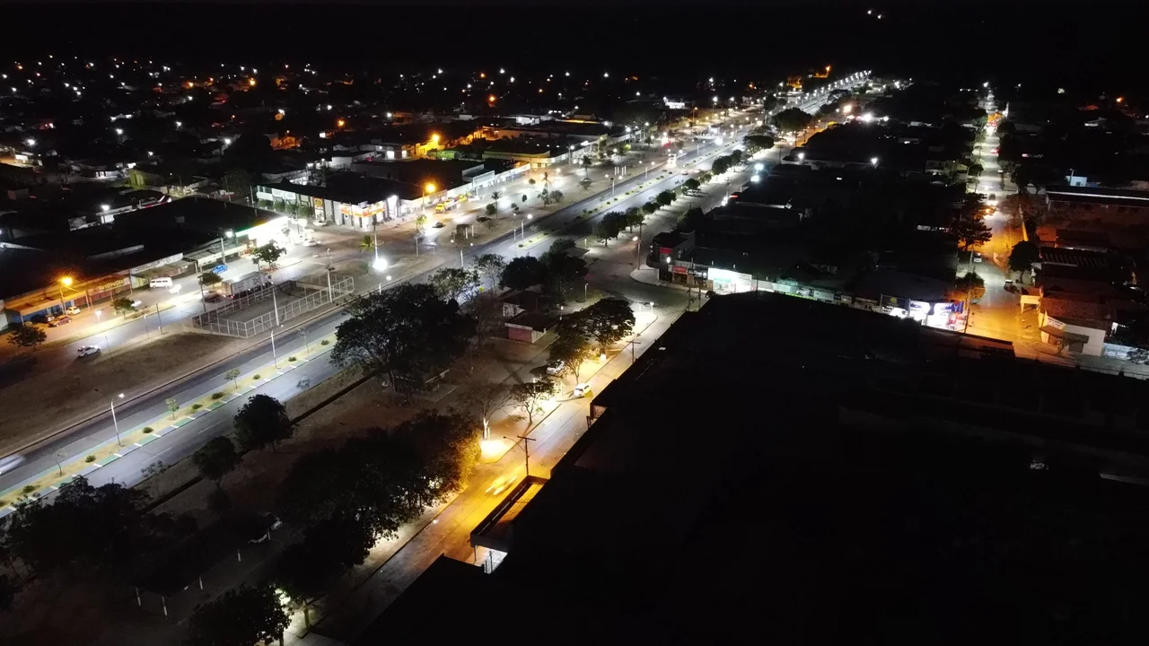
From Above
Approach Nova Crixás from altitude and the patchwork below is mostly green - natural pasture broken by the thin lines of rivers and the occasional rectangle of cropland. The urban center is a small cluster near the highway, surrounded by ranches whose boundaries are marked by fence lines and by the strip of cerrado trees left along property edges. The Araguaia River winds in the distance to the west, serving as the border with Mato Grosso state. Large parts of the municipality have never seen a paved road. If you fly low enough you might spot herds of cattle moving between pastures, dust rising in long plumes where the ground is dry. Nova Crixás is a reminder of how much of Brazil is still, functionally, empty.
From the Air
Coordinates: 14.10 S, 50.33 W. Best viewing altitude: 3,000-5,000 feet AGL for ranch patterns and river systems. Nearest major airport: Goiânia Santa Genoveva (SBGO), approximately 240 nautical miles southeast. Remote location with limited aviation infrastructure. The Araguaia River forms a distinctive feature to the west along the Mato Grosso border. Large unbroken stretches of cerrado scrubland and pasture dominate the landscape.
Nearby Stories
- Mundo Novo, Goiás 22 km away
- Mozarlândia 39 km away
- Pilar de Goiás 54 km away
- Aruanã 57 km away
- Mutunópolis 72 km away
- Mara Rosa 82 km away
- Montes Claros de Goiás 211 km away
- Querência 218 km away