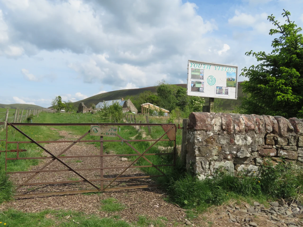

Pentland Hills
The name has nothing to do with the Pentland Firth. That strait, far to the north between Orkney and Caithness, is etymologically unrelated - a coincidence of sound that has confused mapmakers for centuries. The hills southwest of Edinburgh take their name from a small hamlet called Pentland that sits just beyond their eastern end, first recorded in the 12th century. The hamlet's name probably comes from the Cumbric pen llan, meaning 'head or top end of the church or enclosure'. From the 16th century onward people began applying it to the whole range. Two place-names in two different lost languages, both meaning something like 'the high place', happen to land on the same English spelling. The hills themselves predate both names by about 400 million years.
What the Rocks Remember
The Pentlands are mostly Devonian Old Red Sandstone, weathered out of a desert that covered this part of the world some 400 million years ago when Scotland sat near the equator on a vanished continent called Laurussia. Layered through the sandstones are basalts and andesites from volcanoes that erupted into and around that desert. The Pentland Hills Volcanic Formation forms the rocky summits at East Kip and West Kip and Caerketton. Black Hill stands apart as an intrusion of microgranite. Beneath the south-eastern edge of the range runs the Pentland Fault, a major break in the crust that has dropped the land south-east by a substantial amount. Underneath the lower ground, much of it covered with glacial till from the last ice age, lie even older Silurian mudstones from about 430 million years ago. Walking the ridge from Allermuir to Scald Law, you are crossing geological time at the pace of a hill walk.
The Peaks and the Park
The range stretches roughly twenty miles southwest from Edinburgh's suburbs toward Biggar and the upper Clydesdale. Scald Law is the highest point. Other named summits include Carnethy Hill, East and West Cairn Hill, the two Kips, Turnhouse Hill at 1,660 feet, and the long ridge of Allermuir, Caerketton and Castlelaw closest to the city. The hills cover 35 square miles. In 1986 they were designated a Scottish regional park - one of three in Scotland - protecting the upland pasture and small forestry plantations and the reservoirs at Threipmuir, Harlaw, Glencorse and Loganlea. The Ministry of Defence holds a rifle range at Castlelaw, an active use whose origins go back centuries on a landscape that has always been contested ground.
The Deer, the King, the Chapel
About 66 feet beneath the surface of Glencorse Reservoir lie the submerged ruins of a medieval chapel called St Katherine's in the Hope. Local tradition connects its founding to a royal deer hunt: King Robert the Bruce, the story goes, staked the Pentland Estate against the life of Sir William St Clair, the question to be settled by whether St Clair's two hounds - named Help and Hold - could bring down a white deer before it reached the Glencorse Burn. The dogs won. St Clair, in gratitude, built a chapel where the hunt ended. The story may be true, may be partly true, may be entirely a legend dressed up with names. The reservoir was created in 1822 to supply Edinburgh's water. The chapel was already a ruin by then. It is still down there, and the water still drinks well.
Rullion Green and Its Cairn
On 28 November 1666, on the eastern slopes of the Pentlands above Glencorse, around 900 Covenanters made their last stand against a government army. They lost. Around fifty died in the battle and the pursuit that followed it. Most of the rest were captured; many were executed, others transported to Barbados. The episode came to be known as the Pentland Rising, though the rebels had marched here from the southwest of Scotland and most of them had never seen the Pentlands before in their lives. A stone cairn called the Covenanter's Grave stands on the drove road across the hills at OS reference NT078521. The drove road is still walkable, and the cairn is still there, marking the ground where men died for the right to choose their own ministers and the words they used in prayer.
Little Sparta and the Long Quiet
In the southern part of the hills, just outside the village of Dunsyre, the artist and poet Ian Hamilton Finlay spent forty years building a garden called Little Sparta. He inscribed lines of Latin and English on stones, planted classical follies among the burns, and turned an upland croft into one of the strangest and most admired works of art in Scotland. Finlay died in 2006, but the garden lives on as his monument. Closer to Edinburgh, the hills are crossed daily by walkers, cyclists, horse riders, runners, and the occasional ski tourer on the artificial slope at the Midlothian Snowsports Centre at Hillend. Castlelaw still has an Iron Age hillfort and souterrain on its summit, and another fort at Caerketton, both probably built by the Votadini - the Celtic people the Romans named when they passed through these hills two thousand years ago. The Votadini are long gone. The hills they fortified are still here, still pastured, still walked, still quiet enough at the right hour to hear nothing but wind.
From the Air
Centred at approximately 55.767 N, 3.417 W, running southwest from Edinburgh's southern suburbs toward Biggar and the upper Clyde valley. Visible from the air as a clear ridge line about 20 miles long, with prominent summits at Scald Law, Carnethy, and the Kips. Reservoirs at Glencorse, Threipmuir, Harlaw and Loganlea sit in the eastern half. Reference points: Edinburgh and the A702 to the northeast, the M8 to the north. Nearest airport: Edinburgh (EGPH), about 8-15 nautical miles north depending on which end of the range. Recommended viewing altitude 4,000-6,000 ft AGL. Hill weather can change quickly - check cloud base before low-level flight.
Nearby Stories
- Bannockburn 3.2 km away
- Wishaw 5.2 km away
- Oliver Castle 7.1 km away
- Bass Rock Lighthouse 11 km away
- Yester Castle 11 km away
- Kirkcaldy 11 km away
- Battle of Ancrum Moor 13 km away
- New Cumnock 26 km away