.jpg)
The Grand Old Lady of Canada Hill
Twenty houses, a handful of Chinese traders, a lone Arab merchant, and a whole lot of mangrove. That was Miri in 1910 -- a speck on the northwest coast of Borneo that barely registered on anyone's map. Then a Swiss geologist named Josef Theodor Erb hiked up an anticline ridge above the village, studied the exposed rock, and told the Royal Dutch Shell company to drill. On 22 December 1910, at a depth of just 425 feet, Well No. 1 struck light crude. Eighty-three barrels a day began flowing from the hilltop, and Miri was never a fishing village again.
A Canadian's Hill, a Swiss Man's Gamble
The ridge where Erb chose to drill sits about 150 meters above sea level, overlooking the South China Sea. It earned the name Canada Hill not from any geographic resemblance to the northern country, but from Mr. McAlpine, the Canadian engineer who designed the wooden cable-tool drilling rig that punched through the sandstone. The technology was primitive by later standards -- a heavy bit lifted and dropped repeatedly to fracture rock -- but it worked. Well No. 1 became the first commercial oil well on the island of Borneo. Over the following decades, 624 wells would be drilled across the Miri field, collectively producing some 80 million barrels of crude. Well No. 1 itself, more modest in its individual output, faithfully delivered 658,650 barrels over its six decades of operation before being retired in 1972.
From Derrick to Monument
Sarawak Shell shut down the Grand Old Lady on its last day of production, and on 1 October 1973, handed the property to the Sarawak State Government in a quiet ceremony. Four months later, a bush fire broke out around the rig. It was quickly extinguished, but the scare underscored how fragile the site's heritage really was. The government declared the well and its surroundings a protected historical landmark. The 30-meter wooden derrick still stands on the hilltop, its latticed frame silhouetted against the sky -- a physical reminder that modern Miri grew from this single borehole. Beside it sits a nodding donkey pump, preserved in its working position, and a timeline of Sarawak's petroleum story laid out along an outdoor walkway.
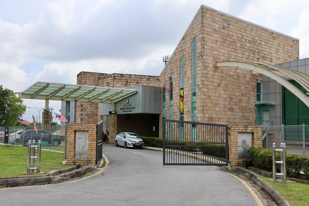
Inside the Museum
The Petroleum Museum itself opened in 2005, funded jointly by the Sarawak government, Shell Malaysia, and Petronas. Its modern building contrasts sharply with the century-old derrick outside. Exhibits trace the full arc of oil extraction in Sarawak -- from the geology that trapped hydrocarbons beneath the Miri anticline millions of years ago, through the colonial-era drilling campaigns, to the offshore platforms that now dominate the region's output. One of the more popular exhibits is an earthquake simulator that seats visitors inside a car and jolts them through the experience of a seismic event. The construction ceremony took place on 25 April 2003, and the museum has since become one of Miri's most visited landmarks. Admission is free, which helps -- school groups file through regularly, tracing the connection between the rock beneath their feet and the city that grew above it.
Oil City's Wider Legacy
Miri styles itself as Malaysia's oil city, and the claim is not exaggerated. The industry transformed this stretch of coast from mangrove wilderness into a metropolitan area of more than 300,000 people. Shell's presence, which began with Erb's geological map in July 1910, persists today through offshore operations in the South China Sea. But the onshore wells that started it all went dry decades ago, and the museum on Canada Hill serves a dual purpose: celebrating the industry that built Miri and acknowledging that the original resource is finite. The Grand Old Lady stands at the boundary between those two truths -- a monument to the moment when a small fishing settlement discovered what lay beneath it, and a quiet reminder that the oil, eventually, ran out.
From the Air
Located at 4.389N, 113.995E on Canada Hill, a prominent ridge overlooking Miri and the South China Sea. The 30-meter derrick is visible from low altitude against the hilltop. From the air, look for the museum complex on the elevated ridge south of Miri's urban center. Nearest airport: Miri Airport (WBGR), approximately 9 km west. Recommended viewing altitude: 2,000-4,000 feet for detail of the hilltop site; 8,000-10,000 feet for the broader Miri coastal context.
Nearby Stories
- The Line That Split a Sultanate 2.1 km away
- The Black Lake and the White Crocodile 8.3 km away
- Sarawak Chamber 40 km away
- Niah National Park 42 km away
- Similajau National Park 78 km away
- The Mountain You Must Not Name 88 km away
- Luconia Shoals 185 km away
- Crown Colony of Sarawak 186 km away