Pireneus State Park
At the summit of Pico dos Pireneus, a raindrop has a decision to make. Fall on the south face, and it follows springs and streams into the Corumbá River, which merges into the Paraná system and eventually reaches the Atlantic by way of the Rio de la Plata, more than 2,500 kilometers south. Fall on the north face, and it joins the das Almas River, flows into the Tocantins, and empties into the Atlantic far to the north near the mouth of the Amazon. The same storm, the same minute of rain - two entirely different oceans. This is the continental divide of central Brazil, and a small stone chapel sits right on top of it.
A Billion Years in Quartzite
The peaks of the Serra dos Pireneus are not young mountains. The rocks that form Morro Cabeludo - over 1,350 meters - are Precambrian quartzite, roughly a billion years old. They predate complex life. They predate Brazil, the Americas, the current configuration of continents entirely. What looks from below like a picturesque ridge is actually the stubborn remnant of an ancient landscape, worn down by the same kind of weather that is still working on it today. The park's cerrado rupestre vegetation clings directly to these rocks - specialized cacti, orchids, and bromeliads that have figured out how to live on stone, in thin soil, through the dry season. Below the summits, grasslands and gallery forests stretch across 2,833 hectares of the Alto Tocantins-Paranaíba Plateau.
The Chapel on the Divide
The first wooden chapel on Pico dos Pireneus went up in 1927, dedicated to the Holy Trinity. Thirty-five people attended the first mass on 18 June of that year, climbing a mountain that offered nothing but stone and wind to reward them. The chapel did not last. In 1935 a gale tore it apart - which, at 1,385 meters with no windbreak, is the sort of thing the mountain does when it chooses. The masonry chapel that replaced it the same year is still standing, squat and white against the sky. Long before the chapel, though, the peak had another visitor: in August 1892, a team of scientists climbed up here to measure altitude and coordinates as part of the Cruls Commission, the expedition that was mapping out where Brazil's future federal capital might go. Standing on this summit, they were triangulating the location that would become Brasília, seventy years before anyone poured a foundation.
Cerrado on Stone
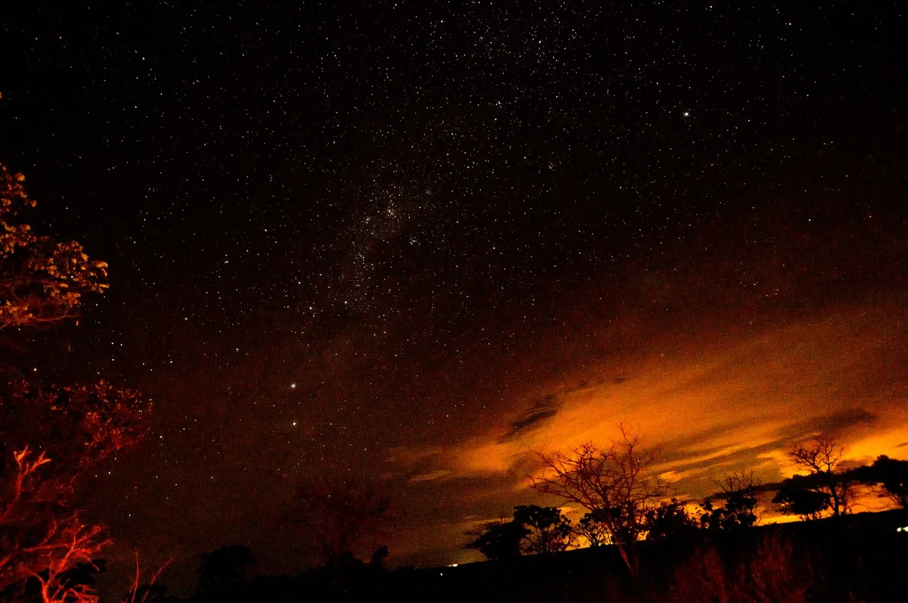
The cerrado biome is Brazil's great savanna, and inside Pireneus State Park it shows one of its most specialized faces. Cerrado rupestre means cerrado that grows on rock - where soil is barely a dusting, where roots have to find cracks, where every species that lives here has evolved to handle dry spells, direct sun, and stone warm enough in the afternoon to cook an egg. Annual rainfall averages 1,500 millimeters, but most of it falls in a five-month window; the rest of the year is dry mountain air at 22 degrees Celsius. Endemic cacti and orchids bloom in defiance of all that. Dozens of springs seep out of fractures in the quartzite and gather into the streams that eventually become the Plata and Tocantins basins - a park that is, quite literally, a source.
A Park Without Signs
Pireneus was established by state law in November 1987, later expanded in 1997 to cover three municipalities - Pirenópolis, Cocalzinho de Goiás, and Corumbá de Goiás. It is administered by the state secretariat for environment and water resources. What it notably lacks, as of recent surveys, is a management plan or marked trails. The park is open daylight hours, permits no hunting, fishing, fires, or alcohol, and asks visitors not to collect anything. Beyond that, you are on your own. Local guides are not required, but anyone who has tried to find the Pocinhos do Sonrisal or the climbing walls at Morro Cabeludo without help will recommend hiring one. Twenty kilometers of dirt road separate the park from the historic town of Pirenópolis; six kilometers reach the town of Cocalzinho. Both are close, but the mountain still feels remote.
Standing on the Divide
There is something honest about a watershed. The line is invisible and absolute: water on this side goes there, water on that side goes the other way. At Pico dos Pireneus, that line runs beneath your boots. Climbers work the quartzite faces at Morro Cabeludo. Ecotourists walk trails that have no signs and were never designed. The chapel, small and white and weather-beaten, sits on the literal edge of two continental drainages. Brasília is not far to the south - close enough that on a clear day the scientists of 1892 could see the country's future from here. What they could not see were the billion years of stone under their feet, patiently waiting to outlast them all.
From the Air
Coordinates 15.80°S, 48.85°W. Pico dos Pireneus rises to 1,385 m at the summit - a distinctive quartzite peak in the Serra dos Pireneus, visible from cruising altitude in clear weather. The small white chapel marks the peak. Nearest airports: Pirenópolis Aerodrome (SWPI) about 20 km southwest and Brasília International (SBBR) about 120 km east-southeast. Recommended viewing altitude 8,000-12,000 feet AGL to appreciate the contrast between the ridge and the surrounding cerrado plateau.
Nearby Stories
- Gama 11 km away
- Ceilândia 11 km away
- Jaraguá, Goiás 13 km away
- Alexânia 22 km away
- Ceres, Goiás 44 km away
- Nerópolis 46 km away
- Planaltina, Goiás 59 km away
- Niquelândia 113 km away