Gama
In May 1960, architect Paulo Hungria drew a city in the shape of a beehive. The plan divided Gama into five sectors around a central hub for trade, each hexagonal cell serving a different function. The city was meant to shelter the candangos, the workers building Brasilia eight kilometers away, many of whom had been living in invasions and provisional shelters wherever the construction camps could spare ground for them. Engineer Jose Maciel de Paiva, acting on orders from Brasilia's first mayor Israel Pinheiro, began transferring people to Gama in September 1960. The beehive never filled out exactly as planned. Today Gama has grown into nine sectors rather than five, and its population of 137,331 makes it one of the Federal District's most important satellite administrative regions.
From Bandeirante to Beehive
Long before Brasilia was imagined, in late 1746, a bandeirante named Antonio Bueno de Avezedo rode out of Paracatu in Minas Gerais with friends and enslaved men and traveled northwest into the highlands. He named a river he reached Sao Bartolomeu, after the saint whose feast day it was. Three months later he pushed west to the Vermelho River. In December he continued on and founded the settlement he called Santa Luzia, which eventually became Luziania in Goias. The Gama area, nearby, was ranch country for centuries. The name Gama itself came from the Gama farm, whose headquarters was close to the Catetinho, the wooden cabin that served as President Juscelino Kubitschek's first official residence when he was overseeing Brasilia's construction. Kubitschek visited Gama on October 2, 1956, on his first trip to inspect the region. The new city was settled eight kilometers from the Catetinho reference point.
The Candangos' City
Gama was created to house the people building Brasilia. The candangos, the construction workers drawn mostly from Goias, Minas Gerais, and the Northeast, were living in makeshift camps scattered across the construction zones. As Brasilia's skyline rose, the government needed permanent housing for the workers and their families. Between 1956 and 1958, the Commission organized to transfer the capital, presided over by Altamiro de Moura Pacheco, dispossessed farmland in the area for the coming satellite cities. When Paulo Hungria finalized the beehive plan in May 1960, the transfers began that September. Most of the candangos stayed on. The worker population that built the capital became the founding population of Gama, and its children and grandchildren make up much of today's city. The Federal District as a whole has about 2.4 million residents, and the stories of the candangos are woven into the identity of every satellite city in it.
Highland Climate
Gama sits on the high Central Plateau at altitudes ranging from 900 to over 1,270 meters, classifying the climate as tropical savanna (Aw under Koppen) with cooler highland variants (Cwa and Cwb) at the higher elevations. The average annual temperature is about 22 degrees Celsius, with September and October the warmest months and June and July the coolest. The two distinct seasons are stark. From October to April the rains come, heavy and reliable, filling reservoirs and greening the cerrado. From May to September, almost no rain falls at all, and humidity drops to near-desert levels. In July and August, relative humidity can fall to 20 percent or lower, raising dust and fire risk and sending the city's health services into respiratory alerts. The vegetation reflects the climate: cerrado savanna on the higher flats, cerradao woodland in the middle zones, and gallery forest along the streams.
Aerospace and Automotive Engineering
The University of Brasilia (UnB) operates its Faculty of Gama (FGA) campus in the city, specializing in engineering. The FGA offers undergraduate degrees in Aerospace, Automotive, Electronics, Energy, and Software Engineering, unusual concentrations for a Brazilian public university and evidence of Gama's transformation from construction camp into industrial city. Together with the Gama campus of the Federal Institute of Brasilia (IFB), the UnB facility forms an educational corridor along the DF-480 highway. Private higher education has followed, with Faculdade Apogeu, Uniceplac, UNIP, and several others maintaining campuses in the region. The engineering focus matters for local employment. About 68.6 percent of Gama residents work in services, 25 percent in commerce, and 5.1 percent in industry. Nearly half of the working population works within Gama itself, rather than commuting into Brasilia, which makes the satellite city function more like an independent small city than many of the other RAs in the Federal District.
A Regional Hub
Gama is small enough to walk across and large enough to draw 600,000 visitors daily from the surrounding cities in Goias. Residents of Novo Gama, Valparaiso, Cidade Ocidental, Luziania, and Santo Antonio do Descoberto cross municipal lines to shop, work, study, and use services in Gama. This cross-border traffic shapes the city's economy. The commercial Central Sector, originally the beehive's ceremonial core, is the commercial heart, a dense zone of shops and pedestrian traffic. The East Sector blends commercial, industrial, and residential uses. The West Sector stays predominantly residential with mixed-use commercial along the main streets. The nine official sectors today are Leste, Central, Industrial, Norte, Oeste, Sul, Ponte Alta Sul, and Ponte Alta Norte. The 790-hectare Gama Municipal Park, established in 1961, was the first legally protected territorial space in the Federal District, preserving a patch of cerrado at the city's edge. The engineering campus is pulling new industries in. The beehive Hungria drew in 1960 is still filling out, six and a half decades later.
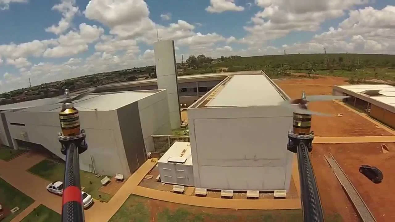
From the Air
Gama sits at 16.02 S, 48.07 W in the southwestern Federal District, about 30 km southwest of downtown Brasilia. Cruise at 4,000 to 5,500 feet to observe the distinctive hexagonal-grid plan of the original beehive layout. Brasilia International Airport (SBBR) is 25 km northeast. Elevations in the Gama region range 900 to 1,270 meters.
Nearby Stories
- Vicente Pires 4.8 km away
- Formosa, Goias 34 km away
- Pireneus State Park 36 km away
- Corumbá de Goiás 36 km away
- Silvânia 36 km away
- Unaí 61 km away
- Cristalina 62 km away
- Formosa 62 km away