Presidente Prudente
The city is called Prudente because a lawyer named himself Prudente. Prudente de Morais was the first civilian president of Brazil and, before that, the first governor of the state of Sao Paulo in the early days of the republic. When a new town went up in the far western paulista frontier, they gave it his name. It stuck. A century later, the city that bears it calls itself the Capital of the West Paulista - the anchor city of a vast agricultural hinterland that stretches toward the border with Mato Grosso do Sul, cattle country on one side and soybean country on the other.
Coffee Until 1929
Prudente was built on coffee, like most of the interior of Sao Paulo state in the early twentieth century. Plantations advanced from the Atlantic coast westward as older soils exhausted, and Prudente emerged on the leading edge of that advance. Then came the 1929 stock market crash. The price of coffee collapsed. Municipalities up and down the line went broke. Prudente pivoted, almost overnight, to cotton - an adaptation that would have been impossible without the railroad that had already reached the region. Industrialization began in the mid-1930s, built on the transformation of raw materials: cotton mills, meatpacking, logging. In the 1940s pastureland came to dominate the landscape as cattle ranching surged through the High Sorocabana region, pulling the forest down behind it. The city kept reinventing itself one crop at a time.
Carandiru's Echo
In 2002, Brazil closed the Carandiru Prison in Sao Paulo city - the site of the 1992 massacre in which 111 inmates were killed during a police intervention. When Carandiru was dismantled, its population had to go somewhere, and much of it ended up in the string of high-security facilities clustered around Presidente Prudente and other western paulista cities. As a consequence, Prudente became a national center for the monitoring of criminal organizations. Civil Police Military Intelligence operations for the state of Sao Paulo are run here, because the major heads of organized crime are housed in prisons in the region. The city's identity shifted accordingly - part agricultural service center, part intelligence node, the two functions running in parallel.
Three Ground Stations
Prudente is one of only three cities in Brazil that serves as a ground station for the Globalstar satellite phone network. The other two are Manaus, in the Amazon, and Petrolina, in the arid Northeast. It is an odd distinction for a mid-sized interior city - those three nodes together cover the telecommunications blind spots of Brazilian geography, where cellular infrastructure thins out and satellite is the only reliable link. The city's population was estimated at 208,000 in 2010, making it the thirty-sixth most populous municipality in Sao Paulo state. The urban area is organized around about 220 neighborhoods, plus four outlying districts: Ameliopolis, Eneida, Floresta do Sul, and Montalvao.
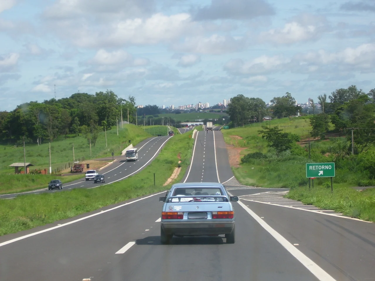
Rivers and Roads
The Parana River basin drains the city's landscape. Streams called Veado and Cedro feed into the Santo Anastacio River; the stream of Onca and the Mandaguari River feed into the Peixe River. The terrain is gently undulating, a landscape of hills with waterways between them, the topography of western paulista cattle country. Three state highways cross the city: SP-270 (the Raposo Tavares, the trunk road to Sao Paulo), SP-501 (the Julio Budisk, linking New Alta Paulista), and SP-425 (the Assis Chateaubriand, connecting Minas Gerais and Parana). The Raposo Tavares is the primary corridor to the state capital, and Prudente is the last major service stop before the highway reaches Presidente Epitacio on the Mato Grosso do Sul border.
Sunset at the Border
The neighboring city of Presidente Epitacio, down the Raposo Tavares at the banks of the Parana River, is famous for what Brazilians have voted the most beautiful sunset in the country - a long flat horizon where the water carries the last of the light for miles. Prudente itself is an interior city rather than a tourist destination. The Cathedral of Sao Sebastiao, the Matarazzo Cultural Center, the Parque do Povo, the Cerejeiras Square with its cherry trees and Japanese-style pagoda all give the center its civic rhythm. But the real work of the city happens on the highways and in the warehouses and in the prison blocks scattered across the region. Prudente is a hinge, not a destination - the point where the agricultural interior meets the institutional spine of the state.
From the Air
Coordinates: 22.13 S, 51.39 W. Western Sao Paulo state, approximately 400 meters elevation, near the Parana River basin. Served by Presidente Prudente Airport (SBDN). Nearest major airports: Marilia (SBML) 120 km east, Londrina (SBLO) 170 km south in Parana. Visual landmarks: the SP-270 Raposo Tavares highway running east-west, the Parana River to the west forming the state border with Mato Grosso do Sul, extensive cattle pasture and soybean fields. Gently undulating terrain with no significant obstacles. Clear-air visibility typically excellent during the dry season (May-September).
Nearby Stories
- Great Pontal Reserve 32 km away
- Lagoa São Paulo Reserve 48 km away
- Pompeia, São Paulo 83 km away
- Birigui 87 km away
- Caetetus Ecological Station 131 km away
- Pederneiras 281 km away
- Guaira Falls 301 km away
- Campo Grande 307 km away