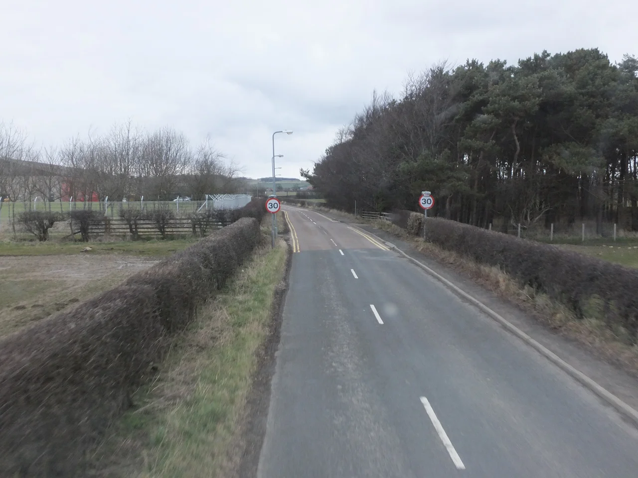

RAF Boulmer
In 1940 the Royal Air Force built an airfield at Boulmer that was entirely fake: grass runways with no aircraft, plywood and canvas Hurricanes parked in plain sight, decoy lights at night to draw German bombers away from the real airfields nearby. The deception worked well enough that, when the bombing threat receded, the field could be abandoned. Eighty years later, RAF Boulmer is one of the most important places in British air defence - a real airfield with a buried two-level bunker designed to survive near-misses from Soviet armour-piercing bombs, watching the skies for everything from Russian Tu-95 bombers to airliners that wander off course.
The Canvas Decoy
The 1940 decoy airfield at Boulmer was one of dozens scattered across Britain, built to lure Luftwaffe attacks away from operational bases such as nearby RAF Acklington. The trick relied on a peculiar mix of theatre and engineering: grass laid out to look like runways, lighting rigged to mimic flarepaths at night, dummy aircraft constructed from wood and painted canvas. From altitude, in moonlight, the illusion held. As the Battle of Britain receded and German bombing shifted away from northern England, the Boulmer decoy was wound down. In March 1943 the field was reopened with real aircraft this time - a satellite airfield housing the advanced flights of No. 57 Operational Training Unit, where pilots completed Spitfire training before going to operational squadrons. Part of the wartime runway is now an access road through a caravan park called Seaton Park.
Going Underground
By 1950 the atomic bomb had changed every assumption about air defence, and a programme codenamed ROTOR replaced the surface radar stations of the Second World War with hardened underground operations rooms. Boulmer's bunker, designated an R3, was a two-level facility designed not to survive a direct nuclear hit - nothing of its scale could - but to take a near miss from a 2,200-pound armour-piercing high-explosive bomb dropped from 35,000 feet. It became fully operational in September 1954. The bunker was upgraded to an R3A standard in 1982, modernised again in 2002 under the sixty-million-pound UKADGE Capability Maintenance Programme, and is now the home of the UK's Control and Reporting Centre, callsign Hotspur, tasked with compiling the Recognised Air Picture across NATO Air Policing Area 1.
Sea Kings and Search and Rescue
For decades, RAF Boulmer's most visible role was search and rescue. A Flight of No. 202 Squadron flew the bright yellow Westland Sea King HAR.3 from the base, providing twenty-four-hour rescue cover from Fife in the north to Hartlepool in the south, reaching west across the Lake District. The Sea Kings answered everything: fishing boats foundering in the North Sea, climbers stranded on Helvellyn, walkers caught out in the Cheviots, light aircraft down in remote glens. On 30 September 2015 the last Sea King lifted off from Boulmer and the RAF's role in UK civilian search and rescue ended. The mission was transferred to HM Coastguard, contracted to Bristow Helicopters flying newer Sikorsky S-92 and AgustaWestland AW189 aircraft. Locals along the Northumberland coast still talk about the yellow helicopters as if they had only just left.
Watching the Sky
Today RAF Boulmer is the operational headquarters of the UK's Air Surveillance and Control System. The Air Command and Control Force here directs Britain's Quick Reaction Alert fighters - the Typhoons that scramble from RAF Lossiemouth and RAF Coningsby to intercept unidentified aircraft entering UK airspace. Between 2005 and 2016, according to figures in The Daily Telegraph, there were 187 such interceptions. The remote radar heads that feed Boulmer's picture span the country: Saxa Vord in Shetland, Benbecula in the Outer Hebrides, Buchan in Aberdeenshire, Brizlee Wood in Northumberland just up the road, Neatishead in Norfolk, Portreath in Cornwall, Staxton Wold in North Yorkshire. Every flight that crosses British airspace, civil or military, registers somewhere on a screen at Boulmer. The plywood Hurricanes of 1940 have become the eyes of NATO.
From the Air
RAF Boulmer is located at 55.41N, 1.62W on the Northumberland coast just south of Alnmouth. The station no longer operates as an active airfield - there is no published civil approach - but the buildings, parabolic radar dishes, and surrounding restricted airspace are unmistakable from altitude. UK military controlled airspace and a Danger Area surround associated radar sites. Civilian pilots should check NOTAMs and avoid loitering near the facility. Nearest ICAO: EGNT (Newcastle International, 26nm south), EGPH (Edinburgh, 76nm northwest), EGNV (Teesside, 58nm south). The North Sea lies 1nm east; expect haar (coastal fog) in easterly conditions.
Nearby Stories
- Ashington 1.8 km away
- Cheviot Hills 3.4 km away
- Battle of Nesbit Moor (1402) 12 km away
- Hadrian's Wall Path 18 km away
- Berwick-upon-Tweed Lifeboat Station 27 km away
- Saltburn Pier 68 km away
- German submarine U-2367 84 km away
- Alexander L. Kielland (Platform) 271 km away