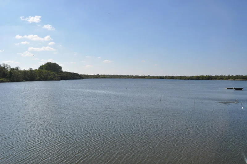

Ranworth Broad
The boardwalk through Ranworth Marshes ends in a building that floats. The Broads Wildlife Centre rises and falls with the water, anchored just enough to keep its windows pointed at a lake that should not technically exist. Eight hundred years ago this was a hole in the ground - a peat pit dug by villagers and monastery workers for fuel to heat Norwich Cathedral. The sea rose. The pit flooded. Now great crested grebes display on the surface where shovels once swung.
An Accidental Lake
Until the 1960s, scholars assumed the Broads were natural features - shallow lakes scooped from the East Anglian lowlands by glaciers or rivers. The geographer Joyce Lambert proved otherwise. Core samples revealed straight-sided walls and squared corners deep in the mud, the unmistakable geometry of human work. Ranworth Broad, like its neighbours, was a medieval industrial site that drowned. The villagers who cut the peat could not have imagined that their excavations would, after sea levels rose in the late Middle Ages, become an internationally protected wildlife sanctuary. The lake holds about a metre and a half of water above the old workings, fringed by reedbed and wet woodland that grew up over the centuries since the diggers walked away.
From the Floating Centre
The Norfolk Wildlife Trust manages Ranworth as part of the Bure Marshes National Nature Reserve, and the floating Broads Wildlife Centre is its public face. From the windows you can watch great crested grebes in their elaborate courtship dances - heads weaving, weed presented like a ceremonial bouquet. Wigeon and gadwall paddle in the shallows. Kingfishers flash electric blue along the reed margins. Cormorants stand on dead branches, wings spread to dry. The centre's location on the water rather than the shore means visitors see what the birds see, more or less at the height where the action happens.
Layered Designations
Ranworth Broad carries the full stack of British and international conservation status: Site of Special Scientific Interest, National Nature Reserve, part of the Broadland Ramsar wetland of international importance, Special Protection Area for birds, Special Area of Conservation under European habitats law. The acronyms pile up because the place earns every one of them. The reedbeds host bitterns and marsh harriers. The wet woodland - alder carr, mostly - shelters specialist insects and woodland birds. The open water supports overwintering ducks in nationally significant numbers. Few square kilometres of England carry so dense a layer of legal protection.
Ranworth's Cathedral View
The village of Ranworth sits a short walk from the wildlife centre, dominated by the Church of St Helen - known across the region as the Cathedral of the Broads. From the top of its hundred-foot tower, you can see broad after broad spread across the flat country, threaded by the rivers that connect them. On a clear day the Happisburgh lighthouse is visible on the coast, twenty miles east. The view explains the geography in a way no map quite manages: the Broads are not a single lake but a constellation, and Ranworth sits near its centre.
From the Air
Ranworth Broad sits at 52.685°N, 1.481°E in the Bure valley about 15 km northeast of Norwich. Best viewed at 1,500-3,000 ft AGL to read the geometry of the broads against the surrounding marsh. Nearest airport is Norwich International (EGSH), 14 nm southwest. The Wroxham-Horning-Ranworth chain of broads makes a clear visual landmark; the floating wildlife centre is reached only by boardwalk from the village.
Nearby Stories
- Redgrave and Lopham Fens 2.7 km away
- Cley next the Sea 4.8 km away
- East Dereham Windmill 7.1 km away
- Dunwich 12 km away
- Cromer Lighthouse 18 km away
- Battle of Lowestoft 58 km away
- Southern Bight 62 km away
- SM U-97 90 km away