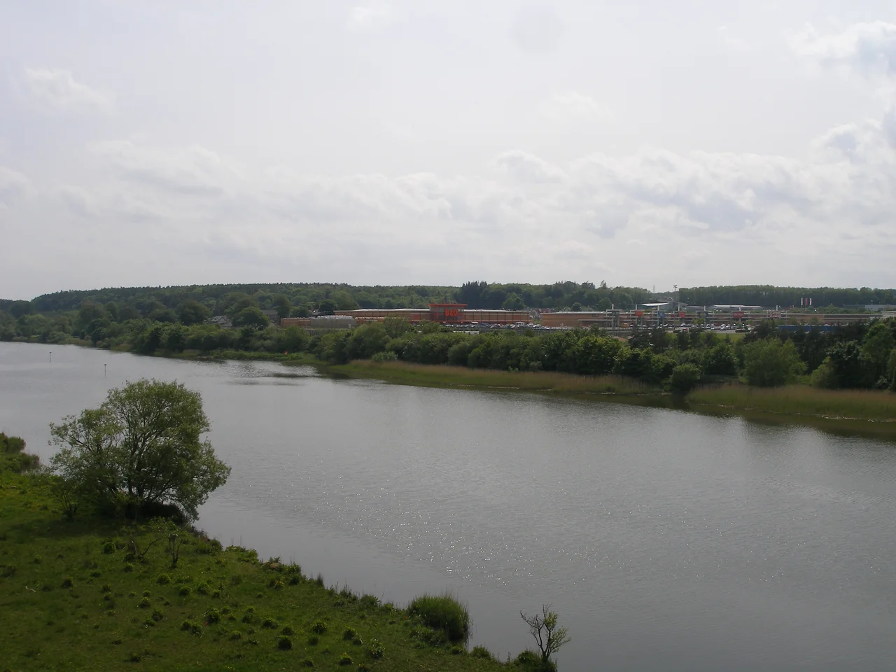

River Bann
It used to be a goddess. The Irish word *Banna* means simply 'the goddess', a name that goes back to the deep Celtic past when rivers were not waterways but deities, with their own personalities and demands. Today the Bann is the longest river in Northern Ireland - 129 kilometres if you count the upper and lower stretches together, 159 if you include the great pause in the middle where it widens into Lough Neagh, the largest freshwater lake in the British Isles. The river rises in the Mourne Mountains in County Down, falls into the Atlantic at Portstewart's Barmouth, and along the way divides Northern Ireland in half - culturally, politically, economically. To live 'east of the Bann' or 'west of the Bann' is not just a geographic statement. It is, for many people in Ulster, a declaration of where you stand.
The Goddess and the First Settlers
When the last ice age released its grip on Ireland around 9,000 years ago, the Bann valley filled with returning life. Salmon worked their way up the new river. Forests of birch and pine spread inland. And human beings followed - the very first arrivals to settle the island, drawn by the river's abundance. At Mount Sandel above Coleraine, archaeologists have uncovered timber-frame house foundations dated to around 5,935 BC, evidence of one of Europe's earliest permanent settlements. The dwellers there ate salmon and eel from the river, hunted wild boar in the forests, and built circular wooden houses with central hearths. The Bann has been the spine of human Ireland from the very beginning. Eight thousand years later, salmon and eel fisheries are still among the river's most important economic assets - the longest-running business in the country.
The Upper Bann
The Upper Bann rises at Slieve Muck high in the Mourne Mountains and falls almost immediately into the Spelga Reservoir, the dark mirror that supplies water to much of Down. From there it runs north through Banbridge - a town named for the bridge that crosses it - and through Portadown, where it once met the Newry Canal and provided a short-lived route south to the Irish Sea. The linen industry built itself on these waters in the 18th and 19th centuries. Flax was retted in the river, beetled in mills along its banks, spun and woven in factories whose sandstone shells still stand in Tullylish, Gilford and Banbridge. By the time the Upper Bann empties itself into Lough Neagh at Bannfoot, sixty-four kilometres from its source, it has become one of the best coarse-fishing rivers in Europe.
Lough Neagh's Only Exit
Lough Neagh holds 800 billion litres of water and is fed by six major rivers - but only the Lower Bann lets the water out. When floods come, the lake rises against the surrounding farmland and there is nowhere for it to go but slowly, painfully, north down the Bann to the sea. In 1738 the Bishop of Down and Connor petitioned the Irish Parliament about the constant flooding. Nothing happened. In 1822 the Scottish engineer Alexander Nimmo proposed reversing the Upper Bann so floodwater could escape south instead - too radical, rejected. Finally in 1847, during the worst years of the Famine, the Board of Works began an eleven-year project to deepen the channel, build locks at Portna and Movanagher, and lower the lake by nearly two metres. The cost overran by £50,000, the labour was hard to recruit (the navvies had emigrated or starved), and the finished scheme satisfied no one. Like so many drainage-and-navigation projects of the Victorian age, the Bann did neither particularly well.
The Bann Divide
Somewhere between Toome and Coleraine, the river becomes more than water. Northern Ireland west of the Bann is rural, agricultural, majority Catholic and nationalist. East of the Bann is the industrial heart - Belfast, Antrim, Ards - majority Protestant and unionist. The 'Bann divide' has shaped infrastructure investment, university placement, road priorities and parliamentary representation for more than a century. Towns and councils 'west of the Bann' have long complained of being neglected by an eastern-facing capital. Some of that complaint is statistical fact, some of it is folk geography that has hardened into truth by repetition. What is certain is that the river that began as a Celtic goddess has come to carry, in the modern imagination, a political weight that no river ought to bear.
Pleasure Craft and Salmon
The Lower Bann's navigation was abandoned for commercial traffic in 1954. The last cargoes were sand dredged from Lough Neagh, sold to brickworks. Today the river supports four marinas - two at Coleraine, one at Drumaheglis, one at Portglenone - and the cruisers and sailing boats that come up from the loughs find a wide, slow-moving river bordered by reed beds, wildfowl, and the occasional fly fisherman after sea trout. At Toome the eel fishery still operates, descended from the medieval church rights that once governed the catch. And at Coleraine, where the river makes its final swing toward the Atlantic, the bridge built in 1844 by Stewart Gordon still spans the mouth - the gateway between the river and the Barmouth, where the goddess finally surrenders her freshwater identity and becomes part of the sea.
From the Air
The Bann runs roughly south-southeast to north-northwest from the Mournes (54.13°N, 6.04°W) through Lough Neagh (54.6°N, 6.4°W) to the Atlantic at the Barmouth (55.17°N, 6.78°W). From altitude, the river is one of Northern Ireland's most prominent water features - especially Lough Neagh itself, the largest body of fresh water in the British Isles at 392 km². The Lower Bann between Toome and Coleraine cuts a wide green corridor through the basalt landscape; the Upper Bann threads through the drumlin country of mid-Down. Nearest airports along the river's course: Belfast International (EGAA) just north of Lough Neagh, City of Derry (EGAE) about 12 nm west of the river mouth, and George Best Belfast City (EGAC) for the lower Upper Bann.
Nearby Stories
- Old Bushmills Distillery 1.2 km away
- Belfast Castle 3.6 km away
- Glenarm Castle 4 km away
- Carrickmore 7.7 km away
- Claudy bombing 8.2 km away
- Lough Neagh 8.9 km away
- Carndonagh 16 km away
- Mull of Kintyre 17 km away