
River Findhorn
On 3 August 1829 heavy rain fell on the Cairngorms, and the River Findhorn became something no one alive had ever seen. Peak flows hit 1,484 cubic meters per second on the main river - what historians have called the most severe catastrophic flood in modern UK history. At Randolph's Leap, a beauty spot where the river usually runs in a narrow gorge, two markers still show how high the water rose: an absurd, impossible line above the heads of visitors who come to picnic. Local tradition says the butler at nearby Relugas caught a salmon fifty feet above the normal river level in his umbrella. The story is probably embellished. The water level is not. The Findhorn is one hundred kilometers long, drains 1,300 square kilometers, and flows from the deer forests of the Monadhliath Mountains through whisky country and ancient hillforts to the Moray Firth.
The River With an Irish Name
In Gaelic the river is Eire, and its valley is Srath Eireann - Strathdearn in modern Scots. The name is identical to the Gaelic word for Ireland, and an old saying compared the five divisions of Strathdearn to the five Irish provinces. Linguists think the similarity is probably coincidental, the river name being pre-Celtic in origin. The Findhorn was once distinguished from the neighboring River Deveron by the Gaelic words for "white" and "black": Fionn-Eireann and Dubh-Eireann, which gave the modern English names. The river rises in the Coignafearn Forest, a Scottish deer forest now mostly devoid of trees, where several burns meet near the Dalbeg bothy around five hundred meters above sea level. From there it descends through Strathdearn in a sinuous, incised valley little altered by glaciers - one of the few Highland rivers whose upper course retains its preglacial shape.
Hillforts, Ardclach, and Randolph's Leap
By the time the river reaches the lower country, it passes a string of Iron Age hillforts: Dunearn south of Dulsie Bridge, Doune of Relugas, Dun Earn near Conicavel, and Cluny Hill at Forres. The Cluny Hill fort, covering 3.6 hectares, was only confirmed to exist in 2017 - a reminder that Scottish archaeology continues to find substantial sites in places that have been mapped for centuries. Between Glenferness House on the right bank and the Ardclach bell tower on the left, the Findhorn cuts a sinuous gorge. Beyond Relugas it is joined by the River Divie at Randolph's Leap, named after Sir Thomas Randolph, Earl of Moray, who was Robert the Bruce's nephew and chief lieutenant in the Scottish Wars of Independence. The Leap is a narrow cleft in the rocks where, tradition says, a pursued man jumped across the gorge to safety. The water below is at its most spectacular when the river runs in spate. Rodney's Stone, a Pictish cross slab now standing in the grounds of Brodie Castle, was discovered in the Dyke churchyard in 1781 - one of the river's older artifacts.
The Wolf, the Last Wolf, and a French Brigantine
Alexander Stewart, the Wolf of Badenoch, made his base at Lochindorb Castle, on an island in the loch that feeds the Dorback Burn into the Divie. In 1390 he burned Forres, Pluscarden Abbey, and Elgin Cathedral - revenge for his excommunication for adultery. The castle was reduced by the Thane of Cawdor in 1455 on the orders of King James II; only outer walls remain. The last wolf killed in Scotland is variously claimed in different valleys; one strong candidate is the wolf shot by a deer stalker named MacQueen in the Findhorn valley in 1743 on Clan Mackintosh land. After the 1745 Jacobite rising failed, the French brigantine Le Bien Trouve slipped past a British blockade in March 1746 into Findhorn Bay - too shallow for the British frigates and sloops chasing it. The ship slipped out again on the night of 6 April carrying Bonnie Prince Charlie's aide-de-camp Richard Warren and escaped to Dunkirk. Findhorn Bay had served, briefly, as an escape hatch for the Jacobite cause.
Clearances, the Muckle Spate, and the Forest That Followed
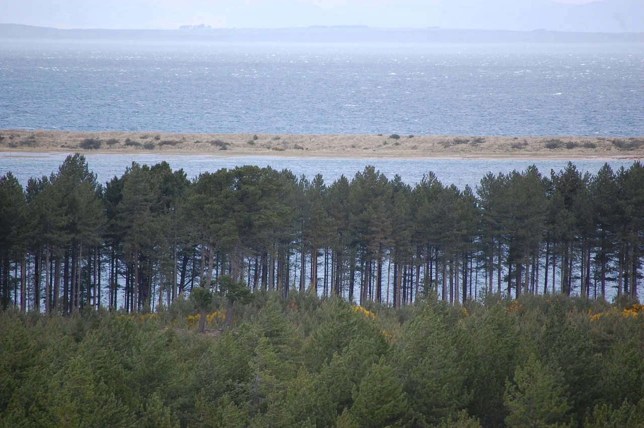
The Findhorn valley was badly affected by the Highland Clearances of the late 18th and 19th centuries - the brutal displacement of Highland tenants by landlords who preferred sheep to people. Whole communities were burned out of their homes. The Canadian Boat Song, written in the voice of an exiled Highlander, captures something of what was lost: "From the lone shieling of the misty island / Mountains divide us, and the waste of seas - / Yet still the blood is strong, the heart is Highland / And we in dreams behold the Hebrides." Twenty years later the Muckle Spate hit. Sir Thomas Dick Lauder, who was also the author of a romantic history of the Wolf of Badenoch, recorded eyewitness accounts of the 1829 flood and used them to reconstruct peak flows. The Findhorn valley flooding has been called the most severe catastrophic flood in modern UK history, with peak flows of 1,484 cubic meters per second on the main river and 451 on the Divie. Fishermen from Findhorn village made daring rescues of people trapped on the floodplain at Forres. Between 1919 and 1963 the Forestry Commission planted 2,560 hectares of pine on the Culbin sands at the river's mouth, creating the forest that now defines the western bank of Findhorn Bay. In the early 21st century, Moray Council built a 3.8-million-cubic-meter flood storage reservoir at Chapelton south of Forres to protect the town from another Muckle Spate.
From the Air
The River Findhorn flows roughly northeast from headwaters at 57.18N, 4.13W (Monadhliath Mountains) to its mouth at Findhorn Bay near 57.66N, 3.62W. Total length about 100 km. Identifiable from altitude by its meandering course through deer-forest moorland in the upper reaches, narrow gorges between Dulsie Bridge and Randolph's Leap, and the broad tidal basin of Findhorn Bay at the mouth. Inverness Airport (EGPE) is 15 nm northwest of the mouth. The A9 crosses the river at Tomatin in the upper valley; the A96 crosses near Forres. Best viewing 2,500 to 4,500 feet AGL. The Streens gorge section is largely roadless and a striking feature from the air.
Nearby Stories
- Black Isle 2.8 km away
- Strathspey Railway (preserved) 5.7 km away
- Tarbat Ness Lighthouse 6.2 km away
- Gordon Castle 7.4 km away
- Bonar Bridge 9.7 km away
- Loch Ness Monster 14 km away
- Kildrummy Castle 17 km away
- Battle of Tannach 65 km away