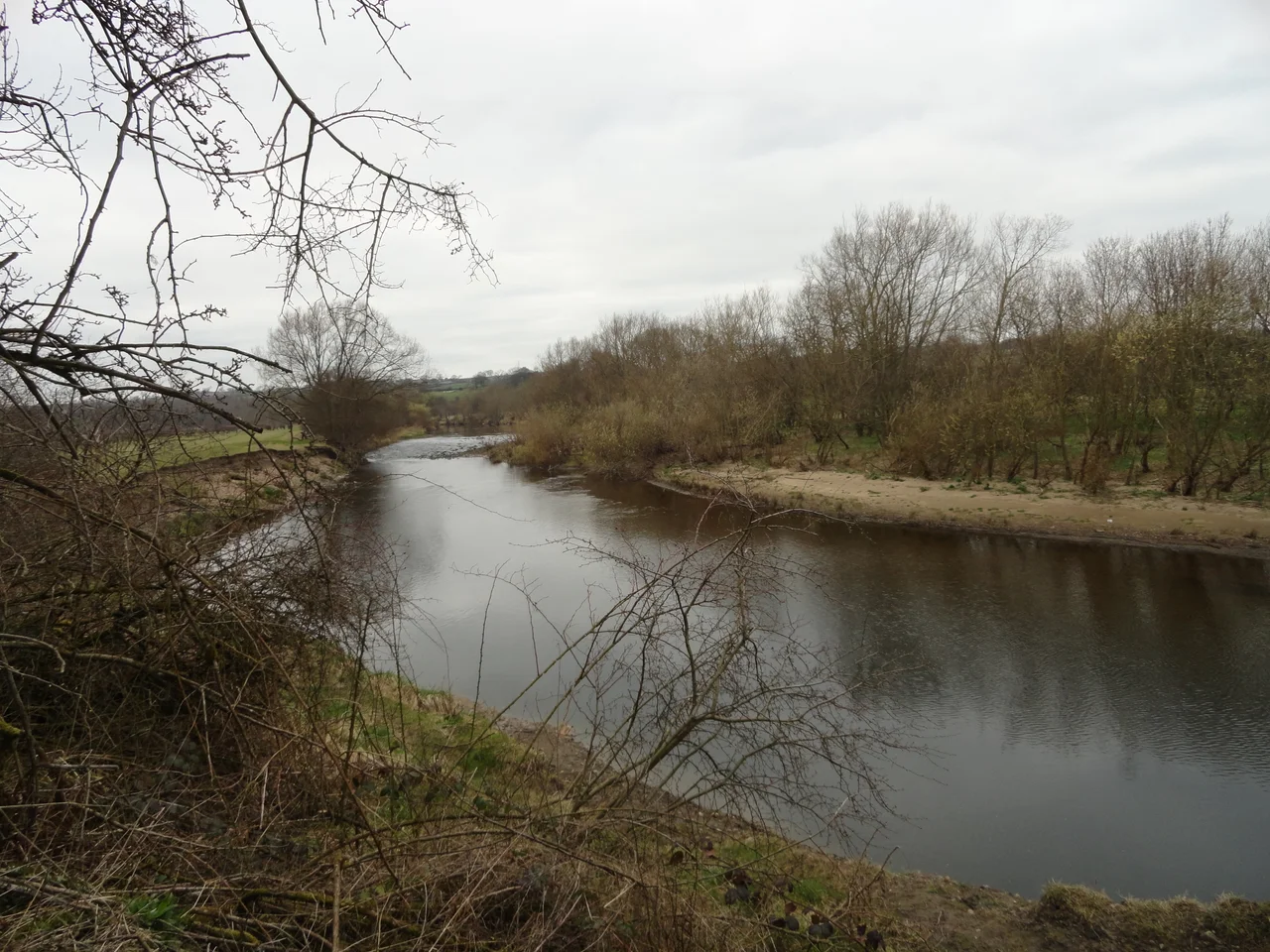

River Wear
Vedra, the Romans called it - or thought they did. The name appears on their map of Britain, an early attempt to register the river that ran past their northern frontier. Modern Celtic linguists trace the word back further still, to a Brittonic root meaning perhaps water that flows, perhaps simply river, perhaps something else entirely. The truth is that the Wear has been carrying meaning longer than anyone has been recording it. Sixty miles from the high Pennines to the North Sea, through coal country and a cathedral city and a shipbuilding port. The river outran the meaning of its name.
From the Roof of England
The Wear rises in the Pennines, in the high moors of upper Weardale where peat bogs feed a thousand small becks and the wind never stops. The river takes its name from this stretch - Weardale, the valley of the Wear - and the dialect of the dale was once distinct enough that nineteenth-century philologists travelled there to record it. Through the dale the water runs east, gathering volume as tributaries join from both sides. By the time it reaches the limestone country at the dale's end, the Wear is wide enough to support a major town. It does not yet support a city. That comes a few miles downstream, where the river makes one of the most dramatic geographical accidents in England.
The Loop That Built Durham
At Durham the Wear performs an extraordinary act. The river loops back on itself in an almost complete circle, creating a steep-sided peninsula joined to the surrounding land by a narrow neck. In 995 the monks carrying the bones of Saint Cuthbert from Lindisfarne stopped here. The defensive value of the loop was obvious. They built a church on the peninsula. The church became a cathedral, the cathedral acquired a castle, and by the twelfth century Durham was the seat of a Prince-Bishop with quasi-royal powers ruling the buffer state between England and Scotland. Norman masons raised the cathedral - one of the finest Romanesque buildings in Europe - on a cliff above the river. UNESCO has designated the ensemble a World Heritage Site. None of it would exist if the Wear had not bent.
Coal, Ships, and the Long Goodbye
Below Durham the river straightens and broadens. It runs through the Wearside coalfield, where pits sunk in the eighteenth and nineteenth centuries produced staggering quantities of coal for London and the world. At the mouth - Wearmouth, where the monks first arrived in 674 - the river met the sea at one of the busiest shipbuilding centres on Earth. At its peak Sunderland built a third of all the merchant tonnage launched in Britain. Twelve great bridges span the Wear, from the medieval stone of Elvet Bridge in Durham to the Edwardian steel of Queen Alexandra and the 2018 cables of the Northern Spire. Each bridge marks a moment. The pits and yards are gone. The river still runs.
Where the Wear Becomes the Sea
The estuary at Sunderland is narrow and busy. The Roker Pier Lighthouse, finished in 1903, marks the harbour entrance with red and white stripes of Aberdeen granite - reportedly Britain's most powerful port light at the time it was built. From here the Wear becomes the North Sea, fresh water swallowed in cold salt. A small detail closes the loop: the gravel and sand carried down sixty miles from Pennine peat bogs settles on the floor of the river mouth, and gets dredged out, and gets dropped offshore. The water returns to the moors as rain. The river is older than the cathedral. It is older than the language that named it. It will be here when the rest is gone.
From the Air
The lower river follows roughly 54.9 degrees north, with the mouth at 54.92 degrees north, 1.36 degrees west. From 3,000 to 5,000 feet AGL the Wear is easy to follow as a silver thread through the green and grey of County Durham. The Durham cathedral peninsula at the river loop is the single most distinctive landmark on the route - 8 nautical miles southwest of the mouth. Nearest major airport is Newcastle International (EGNT), 13 nautical miles north of the mouth. Durham Tees Valley (EGNV) is 22 nautical miles south. The headwaters above Weardale rise to over 2,000 feet.
Nearby Stories
- Seaton Carew 2.7 km away
- HMS Unity (N66) 6 km away
- George Stephenson's Birthplace 6.1 km away
- Raby Castle 9 km away
- Cragside 15 km away
- Whitby Abbey 21 km away
- German submarine U-2367 46 km away
- Alexander L. Kielland (Platform) 277 km away