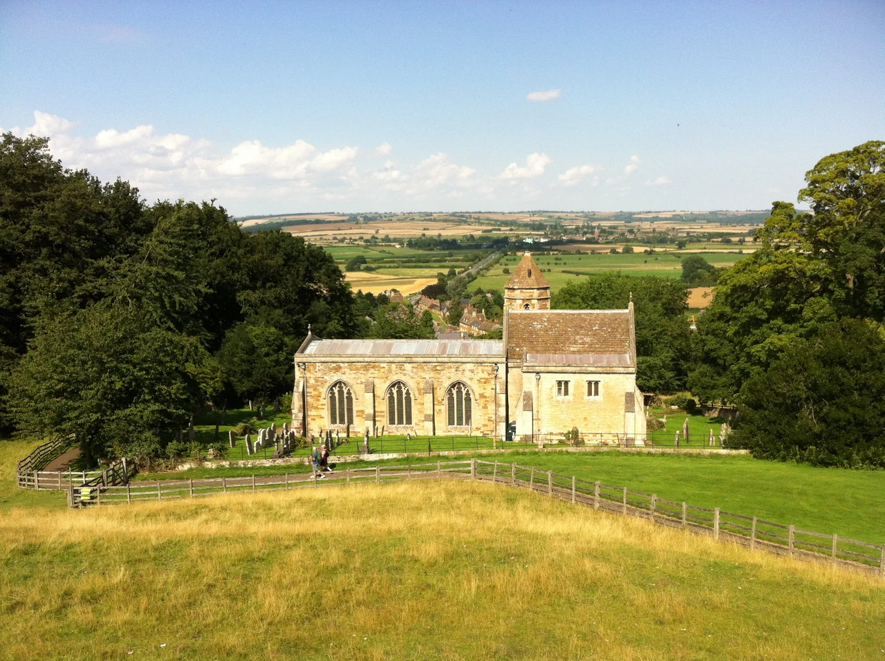

Rockingham, Northamptonshire
On 25 February 1095, the king of England rode into a small village in the Welland valley and tried to fire the head of his church. William II, called Rufus for his red face, had grown sick of Anselm of Canterbury, who insisted on recognising a French-backed pope rather than the imperial one William preferred. The king summoned his most powerful barons and bishops to Rockingham Castle, demanded they declare the archbishop a traitor, and discovered to his fury that the temporal lords would not do it. There was no proof of any actual felony, they said. The matter would have to be resolved by other means. Anselm kept his job. The village of 113 people that hosted this confrontation is still here, the castle is still here, and a thousand years later the name Rockingham still attaches to the things that once orbited it.
Hroc's People
The name is Old English: the homestead or village of the people of Hroc, or Hroca. The settlement sits in a gap in the limestone uplands where the River Welland has carved a broad valley between Northamptonshire to the south and Leicestershire and Rutland to the north. That geography mattered. Whoever held the high ground at Rockingham could control the route between the Midlands and the east of England, and the Normans understood this immediately. William the Conqueror ordered a motte-and-bailey castle built on the bluff above the village shortly after 1066. His sons used it. The castle is still there, still occupied as a family home by descendants of the Watsons who bought it from Henry VIII in the sixteenth century, and still open to the public on certain days. The view from its battlements across five counties is one of the great panoramas of England, and one of the reasons the Normans chose this spot in the first place.
A Forest That Defined a Region
Rockingham Forest covered most of northern Northamptonshire from the Norman period until the seventeenth century, a royal hunting preserve named for the village at its centre. Forest in this medieval sense did not necessarily mean a continuous canopy of trees; it meant land subject to forest law, where the king's deer were protected and the peasantry's right to take wood and game was severely restricted. The forest sustained generations of royal hunts, supplied timber for the Royal Navy, and shaped settlement patterns across a wide region. Sections of it survive today as ancient woodland: Fineshade, Westhay, and the woods around Wakerley and King's Cliffe. The forest's reach made Rockingham, a village of barely a hundred people now and probably never much larger, the namesake of an enormous tract of land that long outlived the kings who hunted in it.
Marquesses, Cars, and Quiet Streets
The Marquess of Rockingham was a peerage that ran out in 1782 when Charles Watson-Wentworth, the second marquess, died without an heir three months into his second term as Prime Minister of Great Britain. He had recognised American independence and abolished some of the most corrupt features of Hanoverian patronage; another few years and the history of the British constitution might have looked rather different. The title died with him, but the name kept turning up in unexpected places. Rockingham Primary School is in Corby, the nearest town. Rockingham Motor Speedway, once Europe's premier banked oval circuit, ran races outside Corby until 2018 before being redeveloped for industry. The A6003 still runs north-south through the village itself, climbing out of the Welland valley toward the high ground, and most who drive it do not notice that they have just passed through one of England's smaller and more historically charged places.
The Village That Stayed Small
Rockingham today is a single street of stone cottages, the castle entrance, and a handful of farms. The 2011 census recorded 113 residents, down from 115 a decade earlier. Many English villages have ballooned over the past century into commuter dormitories or holiday-let portfolios. Rockingham mostly has not. The slope is steep, the buildings are listed and protected, the castle dominates the land available for development, and the result is a place that looks much as it might have looked in the eighteenth century, only with electricity and broadband. The nearby villages of Cottingham, Great Easton, and Caldecott sit close by across the county lines, all of them within a few minutes' drive. Stand on the village street, look up at the castle, and look down at the Welland threading through its valley below, and you can see why William II thought this was the place to settle his quarrel with the church. He lost the argument. The view from the hill is still worth the climb.
From the Air
Rockingham, Northamptonshire (52.51 N, 0.73 W). The village sits on a bluff above the Welland valley, on the A6003 between Corby (3 miles south) and Uppingham (6 miles north). The Northamptonshire-Leicestershire-Rutland tri-county border is just to the north, with Rutland Water and Uppingham visible from the castle on a clear day. Sywell Aerodrome (EGBK) is 15 miles south-east. From low altitude, Rockingham Castle (its Norman motte still prominent) marks the village; the disused Rockingham Motor Speedway sits 3 miles south near Corby. Best aerial viewing is in late afternoon when the bluff catches western light.
Nearby Stories
- Melton Mowbray 3.6 km away
- Ashby de la Zouch Castle 4.2 km away
- British Motor Museum 5.5 km away
- Coombe Abbey 6.3 km away
- Connington South Rail Crash 8.3 km away
- Spalding War Memorial 15 km away
- Wolverton Railway Works 17 km away
- Bourn Windmill 18 km away