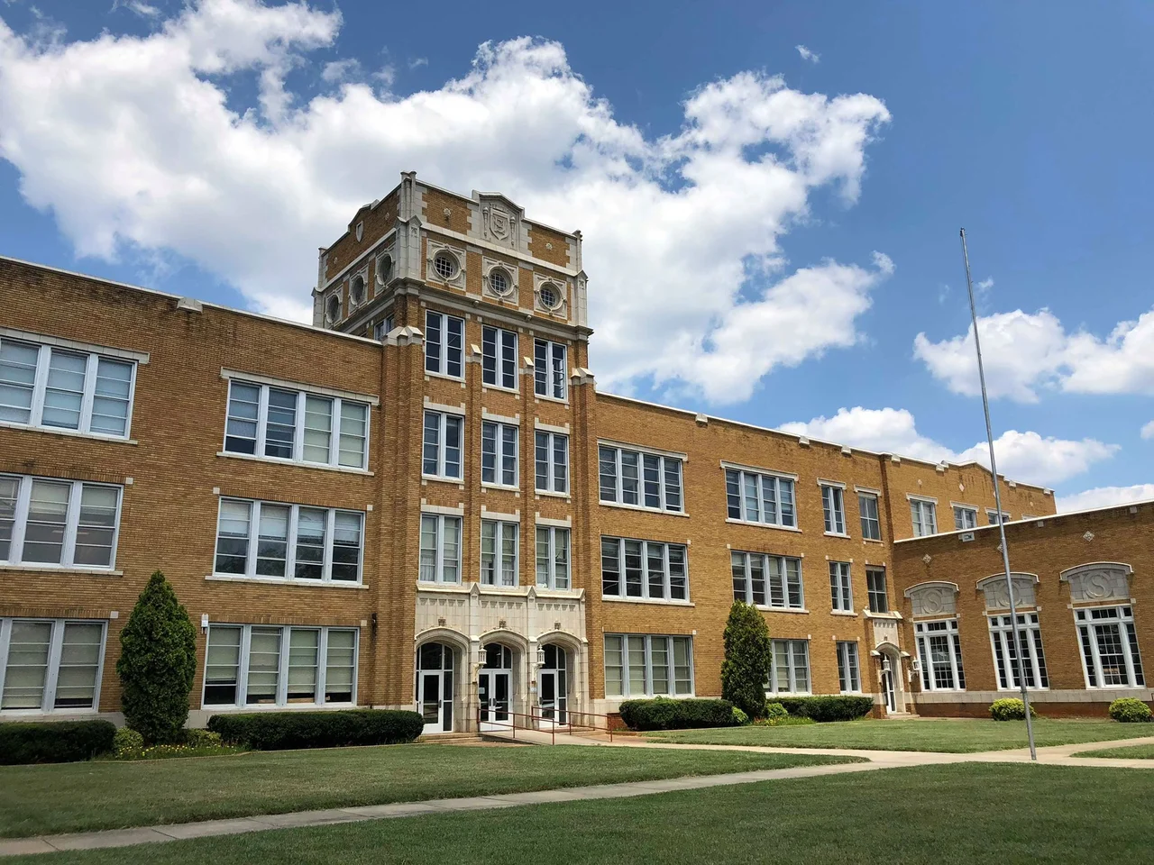

Salisbury, North Carolina
The desk Andrew Jackson used while studying law in Salisbury still sits in the Rowan Museum, a piece of polished wood that once held the elbow of a future president when he was a wild young man learning statutes and getting into trouble. That detail captures something about Salisbury: it has been the county seat since 1753, long enough to accumulate the kind of layered history that small Piedmont cities elsewhere can only envy. Twenty-five miles northeast of Charlotte, sitting on what used to be an intersection of Native American trading paths, the town has watched Wagon Road traffic turn into railroad traffic turn into Interstate 85 traffic, and somehow kept enough of its old buildings standing that it now claims ten National Register Historic Districts and over 1,200 contributing properties.
Cotton, Crossroads, and Carteret's Acres
John Carteret, the 2nd Earl Granville, signed the deed for 635 acres of Salisbury Township in February 1755 from his estate in England, never setting foot on the land that would carry his colonial parcel forward into American history. The settlement his land grant created took root at the meeting point of longtime Native American trading routes, which colonists improved into the Great Wagon Road - the artery that funneled Scots-Irish, Germans, and English settlers down the Appalachian valleys into the Carolinas and beyond. Salisbury became the principal town of an entire judicial and militia district stretching westward to the Mississippi River. By the antebellum period, it was the trading center for an upland cotton economy and a hub of law and commerce, the kind of place where wealthy planters built grand houses and a young Andrew Jackson could find both legal training and the trouble he had a famous appetite for.
The Maxwell Chambers Mill, Now a Tomb
Six weeks after North Carolina seceded in 1861, the Confederate government asked Governor Henry T. Clark whether the state could provide a place to hold Union prisoners. The answer was the Maxwell Chambers textile mill, twenty years old and standing empty in Salisbury. Designed to hold 2,500 men, it instead absorbed more than 10,000 by 1864, as the fall of Atlanta and the siege of Richmond pushed waves of captured soldiers southward. The conditions were what such overcrowding produces: hunger, exposure, disease, and death on a scale that left thousands of Union men buried in trenches on the prison grounds. Those mass graves became the founding stones of the Salisbury National Cemetery. In April 1865, Union Major General George Stoneman rode in and burned the prison and the rest of what the Confederacy had called the Salisbury Arsenal. The cemetery remains, the prison does not, and the moral weight of those numbers continues to shape how Salisbury reckons with its Civil War past.
Lynching, Reckoning, and a First Conviction
In 1906, three Black men were lynched in Salisbury - a horror that played out across the post-Reconstruction South with terrible regularity. What made Salisbury's case different was what happened afterward: one of the lynchers was prosecuted and convicted, the first such conviction in North Carolina and one of the earliest in the United States. It did not undo the murders. It did not end lynching in the South. But it marked a small crack in the wall of impunity. Salisbury's relationship with its Confederate past has remained complicated - Rowan County was the home of Bob Jones, the state Grand Dragon of the Ku Klux Klan in the 1960s, whose influence drew enough national attention that PBS made a documentary called Klansville, USA. The 1906 conviction and the Klansville notoriety belong to the same city, separated by decades, both part of the honest accounting.
Cheerwine, Food Lion, and the Industrial Pivot
Salisbury made things, then lost the things it made. Textile mills processed local cotton through the late nineteenth and twentieth centuries, then closed when their owners chased cheaper labor abroad. What survived was an unusual roster of homegrown businesses: Cheerwine, the cherry-red soft drink invented in Salisbury in 1917 and still produced here; Food Lion, the regional grocery chain whose headquarters anchors thousands of local jobs; and Rack Room Shoes, founded in the city. Add in Salisbury's Fibrant municipal broadband network - which in 2015 became capable of 10-gigabit service town-wide, believed to be the only town-owned system in the world at that capacity - and the picture is of a small city that has repeatedly reinvented itself. The 2019 announcement that Chewy would build a 700,000-square-foot fulfillment center employing 1,200 people felt of a piece with that pattern.
Walking the Districts
Bell Tower Green opened in October 2021 after more than two years of construction and $13 million in private donations, taking up most of a downtown block and giving the city a proper concert lawn for the first time. The park sits within a downtown thick with preserved nineteenth-century buildings, where the Rowan Museum threads together the 1854 County Courthouse, the circa-1815 Utzman-Chambers House, and the 1820 Josephus Hall House - the last of these being the home of the surgeon who served at the Confederate prison, which is exactly the kind of layered uncomfortable inheritance Salisbury keeps having to navigate. The Salisbury History and Art Trail strings markers across five historic eras, and Catawba College's campus sits at the western edge of town, its students walking the same streets that Andrew Jackson, Elizabeth Dole, Zion Williamson, and James Goodnight all called home at one point or another.
From the Air
Salisbury sits at 35.67 N, 80.48 W on the Piedmont, roughly halfway between Charlotte and Greensboro along the I-85 corridor. From the air, look for the dense downtown grid bounded by railroad tracks, the active Amtrak station, and Catawba College's campus to the west. The Mid-Carolina Regional Airport (KRUQ) is on the south side of town. Other nearby fields include Charlotte (KCLT) about 25 miles southwest and Smith Reynolds in Winston-Salem (KINT) 38 miles north. Recommended viewing altitude 3,000 to 5,000 feet AGL.
Nearby Stories
- Richard Childress Racing Museum 8.7 km away
- Lake Norman 9.6 km away
- Charlotte Speedway 13 km away
- Reed Gold Mine 14 km away
- Greensboro Massacre 23 km away
- North Wilkesboro Speedway 37 km away
- Richmond County, North Carolina 37 km away
- Tobacco Road 46 km away