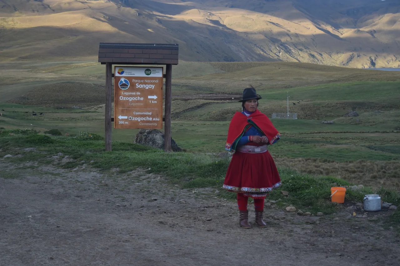
Sangay National Park
El Altar used to be the tallest mountain in Ecuador. Then, some centuries ago, its center exploded. The blast tore out the mountain's middle and left nine snowcapped peaks standing in a horseshoe, looking at each other across a bowl that eventually filled with meltwater and sulfur to become Lago Amarillo, the yellow lake. The peaks still carry the names the old climbers gave them: Bishop, Tabernacle, Monk, and six more arranged like a liturgy in stone. El Altar is just one of Sangay National Park's volcanoes. The others, Tungurahua and Sangay itself, are both very much alive.
Three Volcanoes
Sangay National Park sits on the eastern flank of the Ecuadorian Andes, where the highlands tip over into the Amazon basin. Tungurahua anchors the northern edge, a 5,023-meter stratovolcano looming over the spa town of Banos. Tungurahua erupted almost continuously between 1999 and 2016, periodically closing roads and spraying ash across the province. El Altar lies just south, a ruin of a mountain that climbers still approach with respect. Sangay, which gives the park its name, stands at the southern end. At 5,286 meters, it has been in eruption more often than not for the last four centuries, making it one of the most persistently active volcanoes on Earth. The plume visible from the park's eastern approaches is not always cloud. The park itself was established in 1979 and designated a UNESCO World Heritage Site in 1983 for its biodiversity and the sheer range of ecosystems compressed into a single protected area.
From Cloud Forest to Paramo
The park straddles a vertical gradient of more than 5,000 meters. In the lowest valleys, small farms nestle into lush cloud forest, with orchids, bromeliads, and giant ferns draped over anything that stops moving long enough. Farther up, the forest thins into stunted woods and then breaks open into the paramo, the high Andean grassland that blankets everything between about 3,500 and 3,650 meters. The paramo is cold, damp, and utterly distinctive: cushion plants hunker against the wind, frailejones lift their furry leaves skyward, and at night temperatures drop below freezing year-round. Above the paramo lie glaciers, crater rims, and bare volcanic rock. The gradient produces species density unusual even by Amazonian standards, because every band of elevation hosts its own plants and animals.
The Climb to Lago Amarillo
The most famous hike in the park starts from the village of Candelaria, reachable by an 80-cent bus from Riobamba's Terminal Oriental. The trail climbs from Hacienda Releche up a valley that floods and muds and climbs relentlessly for five to seven hours on foot, three on horseback. Rubber boots are the preferred footwear because the horse traffic keeps the path perpetually churned. The refuge partway up is spartan: mattresses provided, pillows often damp, a shared kitchen with solar-heated water. From there, a four- to five-hour round trip climbs the valley to the crater rim. The final pitch is brutal, two hours of near-scrambling up steep scree. What waits at the top is worth it. Lago Amarillo sits hundreds of meters below, walled in by glacier-hung cliffs, its water colored by sulfur and dissolved minerals into the dull yellow that gives the lake its name. Wind funnels through the old caldera. The nine peaks form their half-circle of attendance. The descent can be made in an hour and a half, but climbers who come only for a night usually ride the horses up and back down the next morning.
Into the Paramo
Beyond El Altar, the park stretches east into territory most visitors never see. Rangers run patrols but no road crosses the park, and large stretches are accessible only on foot or by pack animal. The paramo holds spectacled bears, Andean condors riding the thermals, mountain tapirs browsing the cushion plants, and puma hunting at the treeline. Rivers born here feed the Amazon basin, dropping off the Andean wall in long cascades through cloud forest that rarely sees a clear day. Fees for entry are nominally $10 valid for two weeks, though several routes bypass the ranger stations entirely. Serious climbers use Riobamba as a base, acclimatizing in town before heading up to tackle Tungurahua, El Altar, or the more technical Sangay. Short trekkers come for El Altar. Either way, the mountains take the measure of everyone who climbs them. The weather changes in minutes. The altitude extracts its due.
From the Air
Located at 1.83 S, 78.33 W in the eastern Ecuadorian Andes. The park spans elevations from about 900 m in the lowest valleys to 5,319 m at the summit of El Altar. Recommended viewing altitude 6,500 to 7,500 m to clear the highest peaks and take in the volcano cluster. Tungurahua, El Altar, and Sangay stand arrayed south from Banos. Nearest airport is Mariscal Sucre International (SEQM) in Quito, roughly 150 km north. The Amazon basin begins on the park's eastern boundary, visible as a sea of green dropping off toward the lowlands.
Nearby Stories
- Alausi 14 km away
- Chimborazo 15 km away
- Pailón del Diablo 21 km away
- Santiago de Bolivar 32 km away
- Ecuadorian Amazon 124 km away
- Oriente (Ecuador) 146 km away
- Borja, Peru 263 km away