.JPG)
São Mateus, Espírito Santo
Before the first cars and before the first highway, the commerce of São Mateus moved by river. The São Mateus River carried timber downstream to a port lined with stone mansions, and the port loaded coffee and lumber onto ships bound for Europe. Then, in 1938, the first road to Linhares opened, and within a generation the ships stopped coming. The mansions emptied. What happened next is one of the odder chapters in Brazilian urban history, and it is the reason the Port of São Mateus still stands today, not as a working waterfront but as a municipal heritage site on the banks of a river that no longer ships anything.
Four Centuries on the Cricaré
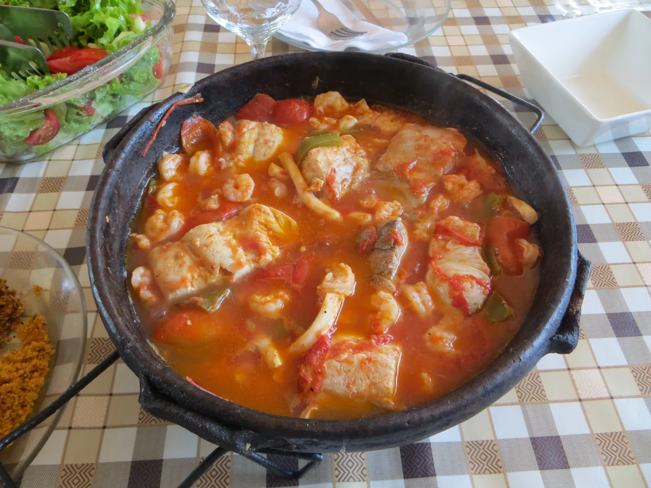
São Mateus sits on what used to be called the Baixada do Cricaré, the lowland of the Cricaré River, which is what the São Mateus River was called before the colonists renamed it. The settlement was founded in 1544 and is listed among Brazil's oldest continuously inhabited cities. Like much of the Espírito Santo coast, it passed through Jesuit hands in its early decades, and the mission infrastructure shaped the town. The Jesuits began a canal project in the early nineteenth century, designed to run more than 300 meters and funded by a 1 percent tax on everything exported through the former port. The cuisine of the region reflects the same long settlement: Bahian seasoning crossed with Italian immigrant tradition, moqueca capixaba prepared the local way without palm oil or coconut milk, and a southern kingcroaker moqueca that traditional families still prepare but restaurants do not sell.
The Port That Emptied
The Port of São Mateus was the commercial heart of the municipality for most of three centuries. From the late eighteenth century onward, stone masonry mansions went up along the riverbank, mostly warehouses and the homes of merchant families, with internal walls finished in plaster and a public square for loading ships. The 1938 highway to Linhares ended this. Within a few years, ship transport had collapsed and the major commercial houses had moved uphill to the newer neighborhoods. The abandoned port mansions were then occupied by the women who worked the prostitution trade that the new highways brought, and architectural modifications - doorways, partitions, signs - accumulated. In 1968, following what the historical record calls numerous crimes related to prostitution, the women were expelled by municipal order. In 1976, the same buildings were designated heritage sites by the State Culture Council. The Houses in the Port stand today as a preserved colonial riverfront, the only city in Espírito Santo where the contrast between boom and decline is so visibly laid out on stone.
The Turtles of Guriri
Guriri is the main beach, a few kilometers from downtown São Mateus. The shore there formed when Commander Reginaldo Gomes da Cunha, brother of the Baron of Aymorés, ordered the opening of an artificial channel to drain the Suruaca Lagoon for cattle grazing - an act of nineteenth-century hydraulic engineering that accidentally created one of the most important sea turtle nesting sites on the Espírito Santo coast. Four of the world's seven sea turtle species lay eggs at Guriri. Projeto TAMAR, the Brazilian national turtle conservation program, established its research base here in 1988. The visitor center doubles as the Guriri Open Sea Turtle Museum, with an aquarium and two observation tanks and life-sized replicas of the five species that use the Atlantic coast. During the reproductive season, the hatchling releases happen in the late afternoon. Small children crouch in wet sand and watch palm-sized turtles find the ocean they will spend decades trying to return to.
Waterfalls and Warnings
Three waterfalls sit along the São Mateus River upstream of the city. The most famous is Cachoeira do Inferno, the Falls of Hell, at kilometer 47 of the highway to Nova Venécia. It is technically a rapid rather than a waterfall - over 1,000 meters of white water, mislabeled on the maps - but the name comes from a pool within it called Caldeirão do Diabo, the Devil's Cauldron, which has drowned many swimmers over the years. Urussuquara Beach, north near the Linhares border, offers the opposite experience: restinga vegetation along the shore, yellow sand, dunes, and the mouth of the Barra Seca River where Atlantic Forest meets ocean. Strong waves make it a surfer's beach and a snook fisherman's beach, not a swimmer's. The coastline is part of a larger pattern in which Espírito Santo's public lands - mangroves, restinga, Atlantic Forest remnants - cluster in defensive fragments against the sugar cane and cattle that have expanded everywhere else.
Lira Mateense and the September Feast
São Mateus was the first city in Espírito Santo to have a theater, and its cultural institutions reflect that early head start. The Lira Mateense, founded on September 21, 1909, is simultaneously an orchestra and a marching band, one of the two principal musical groups in the state alongside the Espírito Santo Symphony. It still offers free music education to local youths and adults. Every September the city celebrates the day of Saint Matthew the Evangelist - its name saint and patron - with national music acts, agricultural exhibitions, and civic parades. In July the National Theater Festival draws street performances to Mesquita Neto Square and the Largo do Chafariz in the old Port, where competing troupes chase the Anchieta Trophy. In December, Saint Benedict the Moor, the city's second patron saint, gets his own festival. A city almost five centuries old keeps a full calendar.
From the Air
São Mateus sits at 18.72 degrees south, 39.86 degrees west, on the northern coast of Espírito Santo about 215 km north of Vitória. The city lies a few kilometers inland on the São Mateus River; Guriri beach and the Atlantic coast are to the east. Recommended viewing altitude 2,000-4,000 ft AGL. The historic Port district and old mansions sit on the river bend. BR-101 runs north-south through town; BR-381 starts here and heads inland toward Minas Gerais. Nearest airport is São Mateus Airport (SBSM), though scheduled service is limited; Vitória (SBVT) is 215 km south. Sea turtle nesting season runs October through March along the beach.
Nearby Stories
- Itaúnas 21 km away
- Linhares 49 km away
- Mutum, Minas Gerais 139 km away
- Poté 161 km away
- Governador Valadares, Minas Gerais 161 km away
- Caraíva 185 km away
- Central Atlantic Forest Ecological Corridor 218 km away
- Roncador Field 612 km away