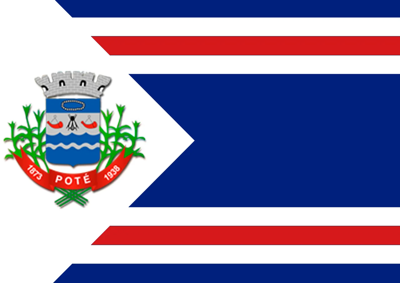
Poté
Poté was the name of a man before it was the name of a town. He was a leader of the Botocudo people, the indigenous inhabitants of this corner of northeast Minas Gerais before Portuguese-descended settlers arrived in force. The historical record is thin; he is a semi-legendary figure rather than a fully documented one. But when this municipality was formally incorporated in 1938, his name was the one chosen. It is worth pausing over that choice. Most Brazilian towns of this era took the names of saints or colonial figures. Poté took the name of the man whose people lost the land.
Location and Land
The town sits at 549 meters elevation, 40 kilometers west of Teófilo Otoni, the commercial hub of northeast Minas Gerais, and 486 kilometers northeast of Belo Horizonte, the state capital. The municipality covers 632 square kilometers of rolling country that marks the transition between the Atlantic Forest hills to the east and the drier, scrubbier lands to the northwest. Its neighbors form a ring of similar small municipalities: Ladainha, Teófilo Otoni, Itambacuri, Franciscópolis, and Malacacheta. The population, estimated at 16,616 as of 2020, is split roughly 55 percent urban and 45 percent rural, though those categories blur in a place where many town residents still keep small plots of land outside the built-up center.
The Botocudo
The Botocudo, also called the Aimoré, were among the most determined indigenous resisters of Portuguese expansion into eastern Minas Gerais. For more than two centuries they held off colonial settlement along the Doce River and its tributaries, and the imperial government waged what it called 'just wars' against them into the 19th century. Their name in Portuguese came from the wooden discs, botoques, that some of them wore in stretched earlobes and lower lips. By the time Poté was incorporated as a municipality, the Botocudo presence in the region had been largely destroyed by disease, displacement, and armed conflict. Naming the town for one of their leaders is a quiet acknowledgment: people lived here before, and their names should not all vanish.
Coffee and Cattle
Poté's economy is what it has been for generations. Coffee is the main cash crop. Sugarcane, beans, and corn are grown on smaller plots, mostly for local consumption. In a 2006 agricultural census, the municipality counted 27,000 head of cattle, 513 rural producers on 24,000 hectares, and only 24 farms with tractors. Roughly 1,500 people depended directly on farming. Those numbers describe an agricultural economy that has not yet mechanized and may never need to, because the terrain is hilly, the plots are small, and the labor is cheap in a way that keeps oxen and human hands more practical than diesel. Industry, by contrast, is minimal: a handful of small operations, a single bank, a few hundred cars.
Small Town, Hard Numbers
The development statistics tell a plain story. In 2000, Poté's Municipal Human Development Index was 0.642, ranking 767th out of 853 municipalities in Minas Gerais and 3,886th out of 5,138 nationally. Literacy was 67 percent. Life expectancy averaged 65 years. The per-capita monthly income was well below the state average of R$276. The town had 22 primary schools, 1 middle school, 6 pre-primary schools, 7 health clinics, and 1 hospital with 34 beds. Patients needing serious care were transferred to Teófilo Otoni. These are the numbers of a place that has not yet shared fully in the prosperity that reached other parts of Brazil. They are also the numbers of a place where community bonds remain tight because the institutions are few.
Patron Saint and Patience
Poté keeps the rhythms of a small Brazilian interior town. Mass on Sunday, market day, coffee harvests that pull every available hand into the fields. In the evenings, the town plaza fills with people who have known each other their whole lives. The hills around the center hold small farms that have been worked by the same families for generations. Outsiders rarely come here; Teófilo Otoni draws the travelers, the commerce, the attention. What Poté offers is not dramatic scenery or famous monuments, but something quieter, a kind of patience. Life continues at the pace the land allows. The man whose name the town carries has been gone for centuries, but his name still rides on every letter posted here.
From the Air
Coordinates 17.81°S, 41.79°W. Recommended viewing altitude 3,000-5,000 ft AGL to see the small town nestled in hills of coffee plantations. Elevation 549 m. The town sits in rolling terrain typical of northeast Minas Gerais. Nearest airport: Teófilo Otoni Airport (SNTO, TFL) about 40 km east. The nearest major airport is Pampulha (SBBH) or Confins (SBCF) in Belo Horizonte, roughly 486 km southwest.
Nearby Stories
- Itaipé 20 km away
- Minas Novas 59 km away
- Nanuque 82 km away
- Governador Valadares, Minas Gerais 88 km away
- Virgem da Lapa 117 km away
- Rio Preto State Park 122 km away
- Mata Escura Biological Reserve 143 km away
- São Mateus, Espírito Santo 151 km away