
Siege of Dumbarton
Four months is a long time to live without a way out. In the spring or early summer of 870, two Viking kings - Amlaíb of Dublin and his ally Ímar - the man who had led the Great Heathen Army to conquer York four years earlier - brought their combined fleets up the Firth of Clyde and laid siege to the fortress on Dumbarton Rock. The defenders, men and women of the kingdom of Alt Clut, the last surviving Brittonic kingdom outside Wales, settled in to wait. Their rock had stood off raids and sieges for centuries, including a co-ordinated assault by Angles and Picts as recently as 756. They had walls, they had stone, they had height. What they did not have, in the end, was water.
The Kingdom on the Rock
Dumbarton Rock is a twin-peaked volcanic plug at the mouth of the River Leven, commanding the confluence of the Leven and the Clyde. The fortress on its summit was the capital of Alt Clut - 'rock of the Clyde' in the old Brittonic tongue - and had been the seat of the Britons of the Clyde since at least the late sixth century. In 870 the king was Arthgal ap Dyfnwal. His kingdom was small but wealthy, a survival of the post-Roman Brittonic world that the Anglo-Saxon invasions had erased almost everywhere else east of the Welsh hills. For most of the ninth century, Alt Clut had escaped the worst Viking depredations. That luck was about to run out.
Why Dumbarton
Amlaíb (Olaf to later Norse sources) was Scandinavian king of Dublin; Ímar was almost certainly the man Anglo-Saxon chroniclers called Ivar the Boneless, leader of the Great Heathen Army that had taken York in 866 and spent the intervening years dominating northern England. They were the most powerful Viking commanders in the British Isles, and they did not waste effort. Their target choice tells us how rich Alt Clut still was. No other campaign by these two leaders involved such a concentrated assault on a single place. The strategic prize was real: take Dumbarton, and you could sail upriver into the central lowlands of Scotland, neutralise the Britons as a maritime power, and open a route deep into the Pictish heartland. The loot would also be considerable. They came with everything.
Four Months on the Craig
The defenders held. Four months of siege is a length of time that has no parallel in Viking warfare in the British Isles, before or after. Most Norse campaigns were raids: hit hard, take what was portable, leave before the levy arrived. To sit outside one fortress for a third of a year, supplying an army the whole time, suggests both how strong Dumbarton was and how serious the attackers were about taking it. Welsh chronicles describe the destruction of the summit of the rock, and the historian Alan Macquarrie has suggested that the Norse may eventually have seized the lower part of the craig - where the well was located - and forced the defenders up to the highest crag without a water supply. When the well ran dry, the defenders had no choice but to capitulate. The fortress was plundered. Many of those still alive inside were taken captive.
Two Hundred Ships to Dublin
The Annals of Ulster record that after the siege a fleet of 200 ships transported prisoners back to Dublin. These were not only the Britons of Alt Clut: alongside them were Picts, Scots and Northumbrians taken in earlier raids. Dublin in 870 was one of Europe's premier slave markets; the captives, if not ransomed, would have been sold on into the Norse trading network that stretched from Iceland to the Caspian. The fate of individuals is largely unrecorded. King Arthgal may have escaped to Pictland or may have been among the prisoners. Two years later, in 872, he was murdered - possibly on the advice of Constantine I of Scotland, whose own family had a complicated stake in the future of the Clyde. Arthgal's son Rhun, who succeeded him as king of what was now called Strathclyde, was Constantine's brother-in-law. The politics moved on. The people taken in 870 did not.
What the Siege Killed
Alt Clut as a kingdom did not end with the siege, but its centre moved. The Britons relocated about 12 miles upriver to Govan, and the kingdom became known as Strathclyde. The old fortress on the rock may have served briefly as a Viking outpost. The political power that had held the Clyde for centuries was broken. Norse influence and Norse settlement seeped into the Clyde estuary. Strathclyde survived as an independent kingdom into the eleventh century before being peacefully absorbed into the kingdom of Alba, the Scottish state still consolidating to the north. The Cumbric language - the Brittonic tongue spoken in this corner of the British Isles for at least a thousand years - dwindled and died out around 1300. Stand on Dumbarton Rock today and you can still see why the Vikings wanted it. You can also, if you listen carefully, hear how much was lost when they finally got it.
From the Air
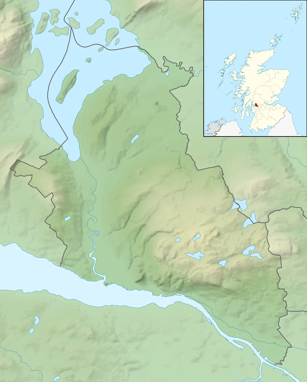
Dumbarton Rock - the siege site - sits at the mouth of the River Leven where it meets the Firth of Clyde, near 55.94N, 4.56W. The 240-foot twin-peaked basalt plug is unmistakable from altitude, jutting up from the otherwise flat estuary. Best viewed at 2,000-4,000 ft AGL. The Firth of Clyde stretches south-southwest, the route the Viking fleet would have followed in from the sea. Glasgow lies up the Clyde to the east; Govan (where the Strathclyde kingdom relocated after 870) sits on the south bank near central Glasgow. Glasgow International (EGPF) is ~7 nm east-southeast of the rock. Class D Glasgow CTR begins to the east - coordinate with ATC. Nearest GA field: Cumbernauld (EGPG) ~22 nm east-northeast.
Nearby Stories
- Holy Loch 0.7 km away
- Falkirk Wheel 2.2 km away
- Battle of Loup Hill 2.4 km away
- Tullibardine Distillery 5.1 km away
- Loch Katrine 7.5 km away
- New Lanark 8.5 km away
- Stewarton 8.9 km away
- HMS Dasher (D37) 12 km away