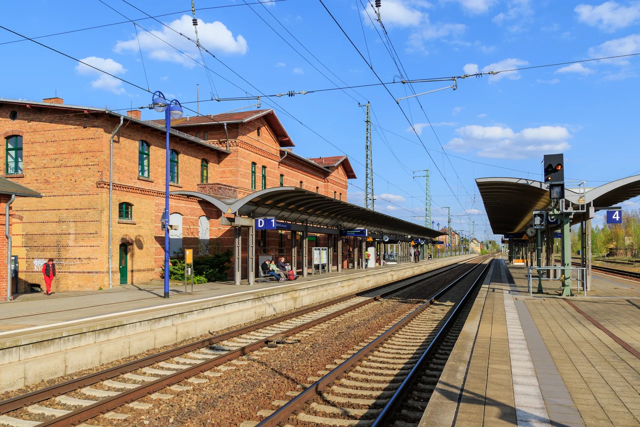

Spreewald
The post arrives by boat. In the Spreewald the Spree gives up being a single river and unravels into more than two hundred channels — the Fließe — totalling some 1,300 kilometres of water threaded through alder wood, wet meadow and vegetable garden across a 484-square-kilometre spread of Brandenburg. Roads reach the villages. They do not reach everything in them. So a postman poles a flat-bottomed punt from doorstep to doorstep along waterways laid down when the last Ice Age dumped its meltwater here, and a landscape older than any German state keeps a delivery route running that would look unremarkable in 1880. Berlin is an hour north, which is the other thing worth knowing about the Spreewald: it is the countryside a very fast city goes to slow down in.
Poling Through the Alders
The traditional craft is the Spreewaldkahn, a long flat punt driven from the stern with a pole, and the comparison everyone reaches for is the Venetian gondola — right in method, wrong in mood. A ferryman stands at the back, leans into the pole, and talks: about the alders that hold the wet ground together, about who farms which strip, about which channel goes where. Guided barge tours leave from the three main gateways, Lübben and Lübbenau, both reachable by train from Berlin, and quieter Burg, which you need a car for. Anyone who would rather do the work themselves can hire a canoe or kayak and take hundreds of kilometres of water at their own pace. It is safer than it sounds — most of the channels are only knee-deep. The genuine hazard is insects. In a wet summer, or one that follows a mild winter, the mosquitoes and horseflies are relentless, and repellent is not optional.
The Sorbs and Their Language
The Spreewald is home to the Sorbs, descendants of the Slavic peoples who settled this country long before it was Brandenburg and one of Germany's officially recognised national minorities. The region is bilingual by law: German and Lower Sorbian share the signposts, and the language is still spoken in the south of Brandenburg, carried by families and schools rather than by any state that ever favoured it. Traditional dress and custom survive here too, not merely as pageantry for visitors. Along the waterways the old farmhouses stand as they were built — timber-framed, gable to the water, with a landing where a driveway would be elsewhere — because the channel was the road, and the household that lived there arranged its life accordingly.
Cucumber Country
No German needs to be told what the Spreewald grows. The Spreewaldgurke — the pickled gherkin — is a national obsession with European Union protected-designation status, sold sour, with herbs, with garlic, with mustard, in enough variations to fill a shop and often does. Horseradish and sauerkraut come from the same fields. The regional plate beyond the pickle jar is worth the trip: pike or pike-perch under a heavy sauce of cream, flour and horseradish, and the local standard of potatoes with quark, onions and linseed oil. That last one divides visitors sharply. Spreewälder swear by it, and admit with some relish that in other parts of Germany the same oil goes into putty for sealing windows. Wash it down with Babben-Bier from the small brewery at Lübbenau, or drink at Schlepzig, where the hotel Zum Grünen Strand der Spree runs a brewery of its own.
Two Ways to Use Water
UNESCO made the Spreewald a biosphere reserve in 1991, which put a protective frame around a place that had been quietly worked for centuries rather than left wild — the channels are irrigation as much as habitat, and the whole mosaic of forest, meadow and garden exists because people have kept it that way. Drive twenty minutes south, though, and the contrast is brutal. Around Cottbus the Lusatian coalfield was strip-mined for lignite on a scale that removed villages and left raw ground behind, and that ground is now being deliberately flooded into the Lusatian Lake District. One landscape was shaped by water and tended for generations. The other is having water poured into the hole left by an industry that has finished with it. They share a river.
From the Air
The Spreewald centres on roughly 51.977°N, 14.027°E, a 484 km² wetland straddling the Spree between Lübben and Burg in south-eastern Brandenburg. From the air the identification is immediate and unmistakable: a dense braided maze of channels through dark alder woodland, unlike anything else on the north German plain. The A13 (Berlin–Dresden) runs along the western edge and the A15 branches east near the Dreieck Spreewald, giving clean linear references. Berlin Brandenburg (EDDB) lies about 55 km north-west, Dresden (EDDC) about 95 km south-south-west. Terrain is flat, so 1,500–3,000 ft AGL is enough to read the channel pattern; the reflective water shows best with low sun. South towards Cottbus the geometry changes abruptly to the rectangles and terraces of the Lusatian lignite country under reclamation.
Nearby Stories
- Storkow Castle 6 km away
- Rudolf Virchow 13 km away
- 2001 American Memorial 16 km away
- Cottbuser Ostsee 17 km away
- Frankfurt (Oder) 18 km away
- Sperenberg Airfield 22 km away
- Kromlau Azalea and Rhododendron Park 22 km away
- Torgau 28 km away