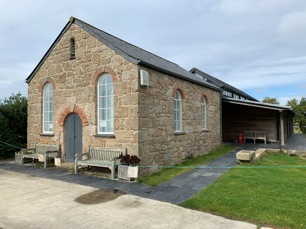

St Agnes, Isles of Scilly
If you stand at Troy Town Farm, on the western shoulder of St Agnes, you are standing on the southernmost piece of inhabited land in the United Kingdom. Eighty-five people live here, give or take, on 366 acres. The island has no hotel, one pub called the Turk's Head, one post office, an ice cream shop and a campsite. It also has a labyrinth of beach pebbles arranged in seven concentric rings that may be Viking, a lighthouse that no longer lights, a freshwater pool that recorded the 1755 Lisbon tsunami, and a playing field where children play cricket on summer evenings - over what may be the largest unmarked mass grave in the western British Isles. St Agnes is small. It is also, by acre, one of the most layered places in Britain.
The Troy Town Maze
Tradition says the labyrinth was laid out in 1729 by the son of the St Agnes lighthouse keeper. Tradition is probably wrong. The Troy Town Maze - it is technically a labyrinth, not a maze, since there is only one path - is made of beach pebbles arranged in seven rings around a central point, and it is the only such structure outside Scandinavia. Similar labyrinths exist on islands and coasts across Sweden and Finland, where Iron Age and medieval fishermen built them as ritual or charm structures, often before or after voyages. The Norse sagas record raiders coming to Scilly as late as the mid-12th century. The argument for a Viking origin is that the local building tradition is otherwise unattested in Cornwall. The argument against is that the labyrinth has been rebuilt - unofficially - more than once, most recently in 1988, and any buried evidence of its origins was likely destroyed in the process. The lighthouse keeper's son may have repaired an existing labyrinth, or built a new one in an old form. Either way, the pebbles are still there on Troy Town's slope, still drawing visitors who walk the path because it is something to do with their feet.
The Lighthouse
St Agnes' lighthouse is the second-oldest lighthouse in Britain, built in 1680 by Trinity House and lit by a coal brazier. The tower stands at the highest point of the island, a daymark visible from every direction. It guided shipping through the dangerous southwestern approaches for 231 years, until Bishop Rock lighthouse - completed in 1858 and progressively strengthened over the next thirty years - rendered the older light redundant. Trinity House decommissioned the St Agnes light in 1911. Today the tower is privately owned and has been converted into living accommodation, the lantern itself long since removed. It is still the first thing you see arriving on the island ferry. For 231 years it told ships' captains where they were. Now it tells you where the island is.
The Playing Field
In October 1707, the four ships of Cloudesley Shovell's squadron struck the rocks off Scilly and went down with nearly 2000 men aboard. The dead washed onto every shore on the south side of the islands. There were not graveyards big enough to bury them. According to the strong local tradition, many of those sailors were interred in mass graves on St Agnes, in the open ground that is now the village playing field beside Big Pool. The story has never been formally tested by excavation, and no monument marks the field, but the burials are remembered through generations of islanders. On summer evenings, the men and women of St Agnes play Cornish pilot gig racing in the harbour, and the supporters return to the Turk's Head to discuss the result. Sometimes the children play cricket on the playing field. They have been told what is supposed to lie beneath them. They go on playing.
Wingletang Down and the Tsunami Pool
The southern third of the island is taken up by Wingletang Down, a stretch of heather moorland and dune grassland that is one of the strangest pieces of botanical ground in Britain. It is the only place in the country where the fern called the least adder's-tongue grows - Ophioglossum lusitanicum, a southern European species that found a single foothold on Scilly and has held it for centuries. The orchid autumn lady's-tresses, the early meadow-grass, and rare clovers all grow here too. In the north of the island, Big Pool and Little Pool are the only freshwater bodies on St Agnes, and Big Pool carries one of the most extraordinary geological records on the British coast: sediment cores show that the 1755 Lisbon earthquake, which devastated Portugal and killed tens of thousands of people, sent a tsunami across the Atlantic that briefly inundated Big Pool, 1500 kilometres north. The rushes around the pool show the salt influence of that event and of subsequent winter storm surges. Beneath the cricket pitch, the western clover and the suffocated clover grow in unusually high density.
Birds from Elsewhere
St Agnes is one of the great rare-bird sites of Europe. During the Scilly season, the few weeks of September and October when North American migrants overshoot their normal range and land here exhausted, birdwatchers crowd the lanes and parsonage gardens of an island they outnumber by ten to one. The list of firsts for Britain found on St Agnes is staggering: the Northern Waterthrush at Covean on 30 September 1958. The Bobolink near Big Pool on 19 September 1962. The Blackpoll Warbler in the Parsonage garden in October 1968. Europe's first Hooded Warbler at Big Pool in September 1972. The Semipalmated Plover at Porth Killier in October 1978. Europe's first Magnolia Warbler in Barnaby Lane in 1981. A Wood Thrush on Wingletang Down in 1987. A Blue-cheeked Bee-eater on 22 June 1951, the first ever in Britain. These birds did not mean to be on St Agnes. They were blown across the Atlantic by autumn weather systems, weighing perhaps fifteen grams each, and landed on the southernmost speck of England because there was nowhere else to land. The islanders, and the visitors who come for them, leave them alone to recover.
From the Air
St Agnes lies at 49.891 N, 6.343 W, the southernmost inhabited island of the Isles of Scilly. The nearest airport is St Mary's (EGHE), about 3 km north-northeast, with Land's End (EGHC) some 45 km east on the Cornish mainland. The disused 1680 lighthouse on Higher Town is the most prominent landmark, visible from any direction. The Bar tombolo to Gugh is exposed at low tide. Recommended viewing altitude is 800-2000 ft AGL. Bishop Rock lighthouse, 9 km southwest, is a useful secondary reference for the open-ocean approaches. The island is open and unobstructed, but Atlantic swells and rapidly changing visibility are typical.
Nearby Stories
- Wolf Rock Lighthouse 17 km away
- The Brisons 18 km away
- SS Irma (1905) 22 km away
- HMS Brisk (1851) 31 km away
- Cape Cornwall Mine 57 km away
- SM U-27 73 km away
- Wolfpack Prien 162 km away
- Tower of Hercules 696 km away