The Last Lakes in the Valley
The call of the greater sandhill crane carries a long way over flat water, and in winter it carries across Stone Lakes with a clarity that seems impossible this close to a state capital. Ten miles south of downtown Sacramento, wedged between the city of Elk Grove and the agricultural flatlands of the Sacramento-San Joaquin Delta, a patchwork of seasonal wetlands, permanent lakes, riparian forest, and native grasslands holds on as one of the last wild landscapes in California's Central Valley. The Plains Miwok once camped and fished along these shores. A Sacramento merchant named Rockwell Stone owned about a thousand acres here in the mid-1800s, and his family held the land until 1891. Today the refuge that bears his name protects something the Central Valley has almost entirely lost: freshwater lakes in their natural state.
Refuge Number 505
By the early 1970s, the lakes and surrounding wetlands were under serious threat from Sacramento's outward creep. The State of California and Sacramento County purchased roughly 2,600 acres, turning the land over to their park departments. But it took two more decades of advocacy before the U.S. Fish and Wildlife Service designated the area as a national wildlife refuge in 1994, making Stone Lakes the 505th unit in the National Wildlife Refuge System. The approved boundary encompasses 17,640 acres, though the federal government currently owns or manages about 6,550 of those. Innovative partnerships with private landowners and agricultural operators protect additional habitat within the boundary, a model for urban-edge conservation that balances farming, development, and wildlife in one of the fastest-growing metropolitan areas in the West.
Wings on the Flyway
More than two hundred species of birds use Stone Lakes across the year, drawn by a mosaic of habitats that mirrors what the Central Valley once looked like before ninety-five percent of its wetlands were drained for agriculture. The refuge sits squarely on the Pacific Flyway, the migratory superhighway that funnels millions of waterfowl and shorebirds between Arctic breeding grounds and winter feeding areas from Mexico to Central America. Seasonal wetlands are flooded each autumn in anticipation of the migrants, and birds arrive from as far as Alaska's Arctic National Wildlife Refuge. They spend the winter eating and storing energy for the long spring flight north. A major rookery supports colonial nesting species, with great blue herons standing sentinel in the riparian canopy.
A Sanctuary for the Struggling
Several species that teeter on the edge of survival find critical habitat here. The valley elderberry longhorn beetle, a federally threatened insect that depends on the blue elderberry shrub, benefits from the refuge's riparian corridors. Swainson's hawks, which migrate from Argentina each spring to breed in the Central Valley's oak woodlands, nest in the mature trees that line Stone Lakes' waterways. Greater sandhill cranes roost in the shallow wetlands during winter, their prehistoric bugling audible across the refuge at dawn. More than half of all sandhill cranes in the Pacific Flyway may use the broader Delta region, and Stone Lakes serves as one of their key roosting areas. The warm-water fishery supports its own web of life, feeding herons, egrets, and the occasional river otter.
Ten Miles from the Capitol Dome
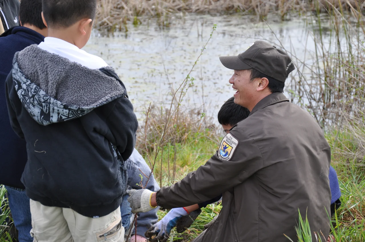
What makes Stone Lakes remarkable is not just what lives here but where it exists. This is an urban refuge in every sense, a wild place whose northern boundary nearly touches the subdivisions and strip malls of Sacramento's southern suburbs. Visitor numbers have climbed steadily since the refuge opened to the public, topping 8,500 in 2001 despite the absence of a visitor education center. Paved walking trails wind through the grasslands, and a natural playscape gives children a place to explore. Parking is free. The nonprofit Friends of Stone Lakes dedicates volunteer hours to education and outreach, introducing residents to a wilderness most of them never knew sat at the end of their commute. In a valley where urbanization has consumed nearly everything that was once wild, Stone Lakes proves that conservation and growth can share a border -- if someone draws the line.
From the Air
Located at 38.37N, 121.49W, roughly 10nm south of Sacramento Executive Airport (KSAC). From the air, the refuge is identifiable as a mosaic of lakes, wetlands, and green corridors contrasting sharply with the surrounding agricultural grid and the suburban edge of Elk Grove to the east. Sacramento International Airport (KSMF) is 18nm northwest. The flat terrain and open water make the refuge easy to spot at 3,000-5,000 feet AGL. Look for the dark patches of permanent lakes surrounded by seasonal wetland greens and browns depending on the time of year.
Nearby Stories
- The Warehouse on Oakdale Road 2.2 km away
- The Museum That Survived Its Own Air Base 6.4 km away
- The Village That Vanished 6.8 km away
- Gold Country 12 km away
- Sutter's Mill 15 km away
- The Glory Hole: Monticello Dam and the Drain That Swallows a Lake 15 km away
- Before the Cake Was Cut 17 km away
- Lake Tulloch: From Miner's Ditch to Foothill Reservoir 41 km away