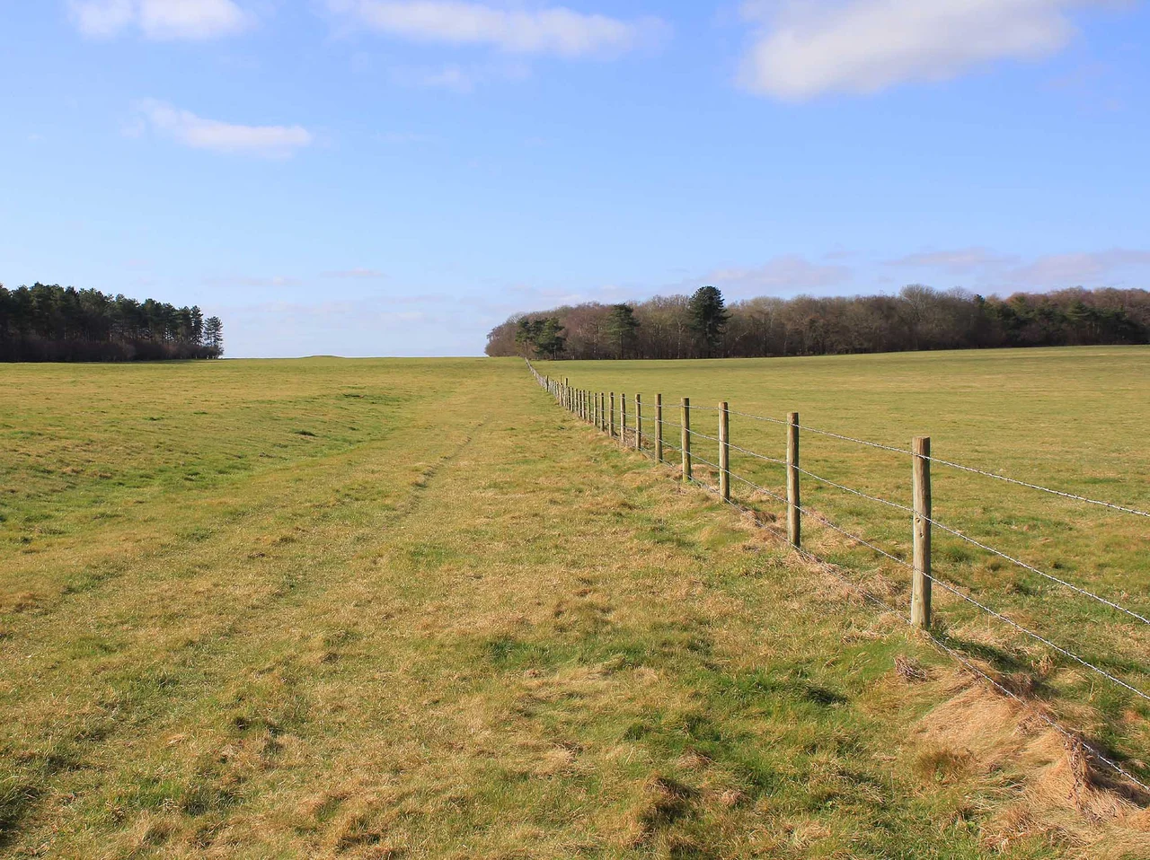

Stonehenge Cursus
In 1723 the antiquary William Stukeley walked across Salisbury Plain, looked at two parallel earthen banks running for nearly two miles, and decided he was looking at a Roman chariot racing track. He named it cursus, the Latin word for racecourse. He was wrong. The Stonehenge Cursus has nothing to do with Romans or racing. It is a Neolithic earthwork at least six centuries older than the first phase of Stonehenge itself, and after nearly three hundred years of archaeology no one is still entirely sure what it was for.
Older than the stones
Excavations in 2007 by the Stonehenge Riverside Project recovered a red deer antler pick from the bottom of the western terminal ditch. Radiocarbon dating of the antler placed the construction of the cursus between 3630 and 3375 BCE. The earliest phase of Stonehenge, the ditched circular enclosure, dates to around 3000 BCE. The cursus is therefore at least 375 years older than the stones it sits beside. It is also enormous. The earthwork runs roughly east-west for just under three kilometres. It is about 100 metres wide along most of its length, widening to nearly 150 metres at its western end because the northern and southern ditches were not laid down on exactly the same alignment. At the eastern terminus stands a large Neolithic long barrow. At the western terminus a Bronze Age round barrow was added much later.
What was it for
Like every cursus in Britain, the Stonehenge Cursus has a function archaeologists can only guess at. The most popular theories are ceremonial. The structure runs across a dry chalk valley known as Stonehenge Bottom, which may have flowed as a winterbourne stream during the Neolithic, with water appearing only in wet seasons. The crossing of a temporary watercourse may have given the cursus a ritual significance, perhaps a procession from one bank to the other. The orientation is aligned with sunrise on the spring and autumn equinoxes, so the sun rises directly over the eastern long barrow on those mornings. Two artificial pits, one near each end of the cursus, line up with sunrise and sunset at midsummer when sighted through Stonehenge itself, which sits 700 metres to the north. The cursus may have functioned as a boundary, separating settlement from sacred ground.
Stukeley's racecourse
When Stukeley first recorded the cursus, the early antiquarian movement was just beginning to grapple with what prehistoric Britain had actually contained. The default explanation for any large old structure was Roman, because Roman remains were the only ancient buildings most educated Englishmen could readily identify. Stukeley imagined chariots thundering between the parallel banks. The error stuck. Cursuses across Britain still carry the Latin name, even though we now know there are dozens of them, all Neolithic, none ever used by a Roman charioteer. In 1947 John FS Stone dug a small trench in the southern ditch and found a bluestone chip alongside an antler pick. The bluestone proved that activity at the cursus continued at least into the late Neolithic, by which time Stonehenge was already being built nearby.
Barrows along the ridge
South of the western end of the Stonehenge Cursus runs a ridge crowned by the Cursus Barrows Group, a Bronze Age round barrow cemetery extending 1,200 metres east to west. It comprises the barrows recorded as Amesbury 43 to 56 and Winterbourne Stoke 28 to 30, plus a hengiform monument known as Fargo. From the air, the line of grass-covered mounds is striking, like a string of beads laid against the dark line of the cursus ditch. The Lesser Cursus, a separate, shorter earthwork, lies nearby. Dated to around 3000 BCE, it has no eastern terminal at all, the ditches and banks simply stopping in mid-field. The entire complex is open-access land, part of the National Trust's Stonehenge Landscape, and a public bridleway runs along its length. Walk it on a clear morning. You will pass an earthwork older than the pyramids, named in error for a sport its builders never imagined.
From the Air
Coordinates 51.186 N, 1.826 W. The Stonehenge Cursus runs east-west for about 3 km along a ridge 700 metres north of the Stonehenge stone circle. From altitude, look for two parallel chalk-soil ditches forming an elongated rectangle, with round barrows of the Cursus Barrows Group strung along the ridge to the south of the western end. The Lesser Cursus is invisible on the ground but shows as a cropmark. A303 trunk road south of Stonehenge. Nearest airports: Boscombe Down (EGDM) is 6 nm south-east; Old Sarum (EGLS) is 8 nm south; Bournemouth (EGHH) is 30 nm south. Best viewing is at low sun angle when shadows lengthen the slight relief of the banks.
Nearby Stories
- Sherborne Castle 4.4 km away
- Highclere Castle 10 km away
- Camper and Nicholsons 11 km away
- Museum of the Great Western Railway 12 km away
- Wells Cathedral 13 km away
- Severn Bridge 17 km away
- Abingdon-on-Thames 21 km away
- 1958 BOAC Bristol Britannia Crash 26 km away