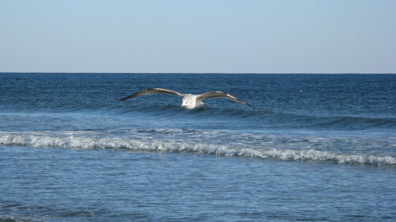

Sunset Beach, North Carolina
Mannon C. Gore bought the island in 1955 because he liked the sunsets. The barrier strip just east of the South Carolina line had been called Bald Beach for as long as anyone could remember - it was a thin barrier island with sparse vegetation, no bridge, no electricity, no buildings except a few fishing shacks - and Gore thought the name undersold the property. The island faced southeast, an unusual orientation for the North Carolina coast, which meant the sun came up over the Atlantic in the morning and went down over the Intracoastal Waterway in the evening. From the dunes you could watch both. He renamed it Sunset Beach, built a pontoon bridge to the mainland in 1958, and started selling lots. Seventy years later the bridge is gone, the island has 1,200 houses, and the town has 4,175 year-round residents, but the sunsets still close out the day over the marsh.
The Pontoon Bridge
Gore's original 1958 bridge across the Intracoastal Waterway was a single-lane pontoon span operated by a bridge keeper who pushed and pulled the floating sections to let boats through. It was not a piece of infrastructure that ever appeared on a tourism brochure - it was, in flat practical terms, a slow inconvenience. But for forty-eight years it shaped the rhythm of life on the island. Drivers waited. Boats waited. Locals knew the timing well enough to plan around it. Visitors from the mainland sometimes spent twenty minutes in line trying to get on or off the island during peak weekend traffic. The North Carolina Department of Transportation took over the bridge from Gore in 1961, but the design stayed the same. When the high-rise replacement - the Mannon C. Gore Bridge - opened in 2010, the old pontoon span was decommissioned, and a group of residents lobbied successfully to save the central section as a small museum. The Old Bridge Preservation Society still maintains it, planted almost directly under the new high-rise span. Locals call the new bridge fine and modern, but they will tell you about the old one if you ask.
Bird Island and the Quiet Edge
Just west of Sunset Beach lies Bird Island, a 1,200-acre barrier strip that the state acquired as a coastal reserve in 2002 to keep it undeveloped. There are no houses, no paved roads, no commercial signage on Bird Island. At low tide you can walk west from Sunset's last dune line across the open inlet and find yourself in an entirely different kind of coastal landscape - empty beach, maritime forest, salt marsh extending toward the South Carolina line. The Kindred Spirit mailbox sits in the dunes on Bird Island, a weathered metal box placed by a local resident in the 1970s and resupplied by anonymous hands ever since. Visitors leave notes inside. The notes are sometimes addressed to dead family members, sometimes to no one, sometimes to whoever finds them next. The box is one of the most quietly visited landmarks on the North Carolina coast. Nobody owns it. Nobody runs it. It is still there.
Tornado at Midnight
On the night of February 15, 2021, just after midnight, an EF3 tornado came across the northern edge of Sunset Beach. February tornadoes are rare on the southeastern North Carolina coast - this one came out of an unusual winter storm system - and the damage was concentrated in residential neighborhoods on the mainland portion of the town. Multiple homes were destroyed. Several others were severely damaged. Three people were killed and ten were injured. The town is the kind of place where most residents either know each other or know somebody who knows everyone else, and the response was immediate. Shelters opened. Restaurants brought food to first responders. Neighbors with chainsaws cleared driveways for neighbors who could not get out of their houses. The damage took months to fully repair, and the three families who lost members that night are part of the town's longer memory now, set alongside the bridge keeper and Mannon Gore and the names of everyone who has stayed on this stretch of beach long enough to be remembered.
Last Beach Before the Line
Sunset Beach is the southernmost incorporated beach town in North Carolina. Drive five miles west on Beach Drive and you are at the South Carolina border, where the Grand Strand begins its long northward run of high-rises and putt-putt courses and seafood buffets. The contrast is sharp. Sunset Beach has stayed deliberately small, deliberately low - no buildings over three stories on the island - and that decision has shaped what the town feels like to walk through. The dune line is intact in most places. The beach is wide at low tide and undeveloped enough that you can find shells without walking past a hundred other shellers. The town runs on tourism, vacation rentals, and a population of retirees who came down from inland for the weather. The Vesta Pier - Gore's 1960 pier, named after a Civil War blockade runner whose hulk lies completely buried in the sand beneath it - was destroyed by Hurricane Hazel and storms that followed and rebuilt as something simpler. The blockade runner is still down there. The sand has moved over it; it has not moved out of the sand.
From the Air
Sunset Beach occupies a barrier island in southwestern Brunswick County at 33.89°N, 78.51°W, the last developed Atlantic beach in North Carolina before the South Carolina line. From altitude the southeast-facing orientation of the island is distinctive - it lies at a slight angle relative to the more east-facing barrier islands to the north. Bird Island lies undeveloped to the west; Ocean Isle Beach lies to the east. Recommended viewing altitude 2,500 to 4,000 feet AGL. Nearest airports: Grand Strand Airport (KCRE) 13 miles southwest, Cape Fear Regional Jetport (KSUT) 23 miles east, and Myrtle Beach International (KMYR) 18 miles south. Watch for KMYR's Class D ring and the busy summer GA traffic at KCRE.
Nearby Stories
- Bald Head Island 5.9 km away
- 1950 Myrtle Beach USAF C-46D Crash 9.2 km away
- Battle of Wilmington 12 km away
- Columbus County, North Carolina 20 km away
- Hobcaw Barony 30 km away
- Huntington Beach State Park 46 km away
- 1958 Mars Bluff B-47 Nuclear Weapon Loss Incident 52 km away
- Mercury-Redstone 4 706 km away