The Middle Mountains Nobody Can Reach
Three indigenous peoples called them by the same name. The Maidu said Histum Yani. The Nisenan said Estom Yanim. The Wintun said Onolai-Tol. All three phrases translate roughly to "the Middle Mountains," and the description is precise: the Sutter Buttes rise from the dead center of the Sacramento Valley, a ring of eroded volcanic domes jutting 2,122 feet above terrain so flat that the nearest comparable elevation is dozens of miles away. From above, they look like a mistake -- a crumpled knot of rock dropped onto a perfectly ironed tablecloth of farmland. Geologists call them the remnants of a volcano dormant for 1.4 million years. Locals call them the world's smallest mountain range. And for the last six decades, almost nobody has been allowed to set foot on them.
Fire Beneath the Flatlands
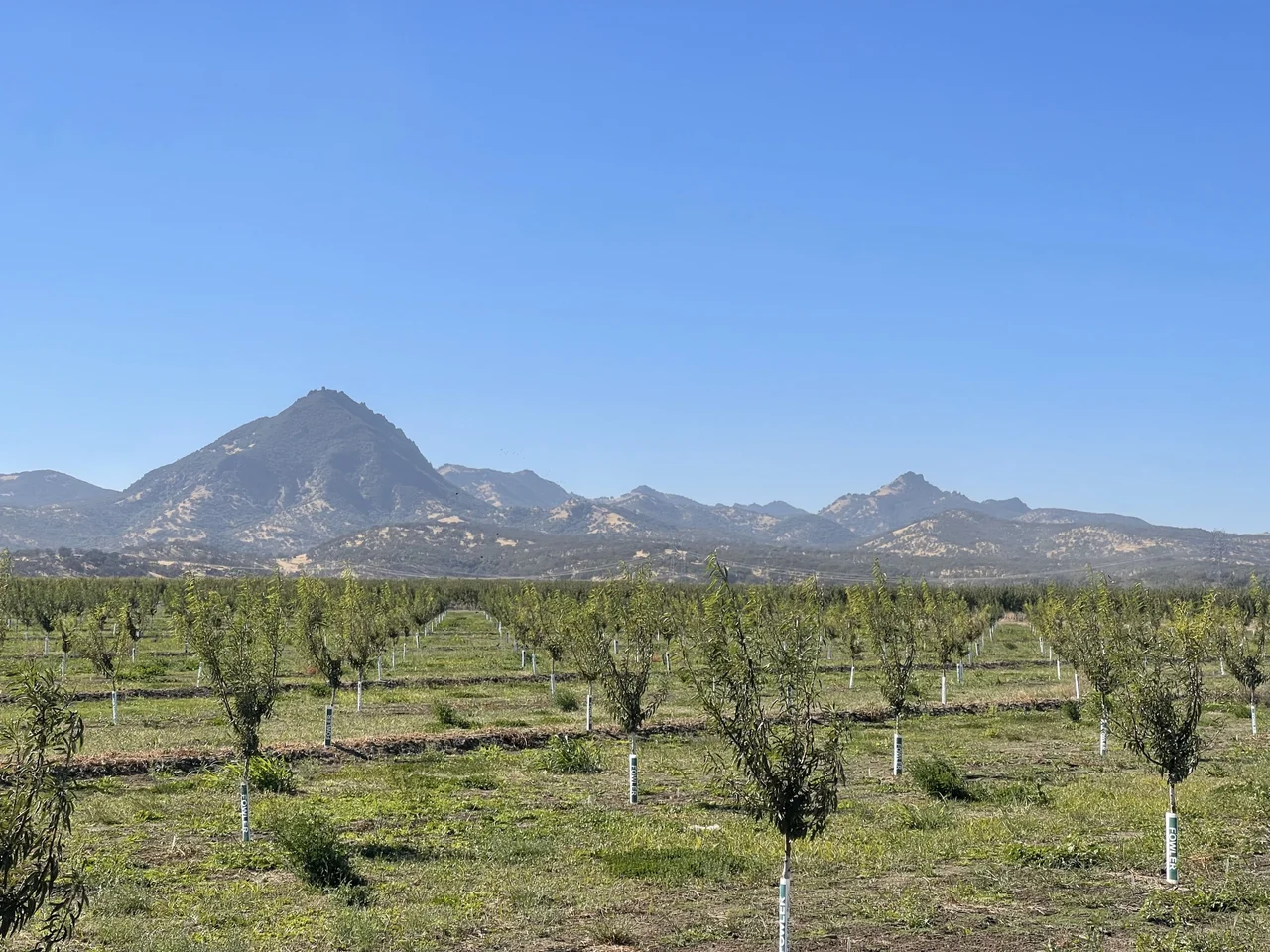
The Sutter Buttes began approximately 1.6 million years ago, when thick plugs of rhyolite -- silica-rich magma, viscous as cold honey -- pushed through the crust and shouldered their way to the surface. A second phase of eruptions followed, this time producing andesite and dacite, iron- and magnesium-rich compositions that flowed more freely. This less viscous magma breached the surface and lifted the surrounding layers of earth, building the volcanic domes that define the buttes today. As the softer sediments eroded away over millennia, their debris spread outward, forming the sloping aprons geologists call ramparts. Beneath all of it lies a crisscrossing network of subterranean faults that provided easy channels for the rising magma. The result is a rough circle roughly ten miles across, an island of volcanic rock surrounded by one of the most productive agricultural valleys on the continent. Whether the buttes represent the southernmost outpost of the Cascade Range or a wayward relative of the Coast Ranges remains a matter of geological debate.
Sacred Ground, Contested Names
For the Nisenan, Maidu, and Patwin Wintun peoples, the Sutter Buttes were far more than a landmark. The buttes figured prominently in creation stories. In Maidu and Nisenan belief, this was the place where dying people came to ascend to the afterlife. Seasonal encampments dotted the landscape, and all three groups visited regularly to gather acorns and hunt game. According to anthropologist Alfred Kroeber, the Patwin village where the city of Colusa now stands was the birthplace of the Kuksu religion, a ceremonial tradition in which spirit impersonators reenacted mythological events in earthen dance lodges. That religion spread through much of Northern California. The mountains still bear the name of John Sutter, the Swiss-born colonist who received a large land grant from Mexico in 1841 and whose sawmill discovery triggered the Gold Rush. Sutter claimed ownership of the buttes under his New Helvetia grant, but the United States Land Commission ruled that his grant did not include them. In recent years, local indigenous groups have pushed to rename the range, seeking to replace a colonist's name with something closer to what three cultures called it for centuries.
Missiles in the Mountains
During the Cold War, the U.S. Army Corps of Engineers buried something unexpected beneath the buttes: Titan I intercontinental ballistic missile silos. Designed to survive a nuclear attack, the complex consisted of three underground missile silos connected by tunnels to support and command bunkers, making it one of the largest and most hardened first-generation ICBM facilities ever built. The site was operational between 1962 and 1965, part of a ring of nuclear deterrence facilities surrounding Sacramento. When the Titan I was phased out by the Department of Defense in January 1965, the missiles were removed within a month, and the facilities were decommissioned and sold back into private hands. The abandoned silos have attracted trespassers and vandals since the 1980s, their concrete corridors slowly filling with graffiti and groundwater. In September 2016, the buttes made a different kind of military news when a U.S. Air Force Lockheed U-2 spy plane from the 1st Reconnaissance Squadron crashed during a training mission, killing one of two pilots aboard.
The Park That Refuses Visitors
In 2003, the California Department of Parks and Recreation purchased 1,785 acres in Peace Valley on the buttes' north side for $2.9 million, intending to create a state park. Two years later, the Parks Commission officially classified the property as a state park, though it was never formally named. And then nothing happened. The state could not acquire the connecting land needed to build a road from the park to a county highway, because the surrounding ranchers refused to sell. Every access road into the buttes is posted with private-property warnings. Before 1960, the land had been private but accessible; a fire that year prompted ranchers to close their gates, and they have not reopened them since. A 200-acre parcel encompassing most of North Butte was donated to the Sutter Buttes Regional Land Trust, and a handful of naturalists and local organizations lead occasional guided hikes through limited areas. But the official state park remains one of the only parks in California that has never admitted a single visitor.
The View Nobody Owns
From the air, the contradiction resolves itself. The Sutter Buttes appear as they always have -- an abrupt upheaval of dark volcanic rock surrounded by the geometric precision of irrigated farmland, orchards, and rice paddies. Oak woodland and grassland cover the slopes, and in spring, wildflowers including the yellow mariposa lily blanket the ramparts. The buttes cast long shadows across the valley floor in the evening light, and on clear days they are visible from the Sierra foothills to the Coast Range. The small town of Sutter sits at their base, named for the same man whose claim to the mountains was denied. No fences reach high enough to privatize the view from altitude. For the pilot overhead, the Sutter Buttes offer something their earthbound neighbors cannot access: an unobstructed look at what may be the most fiercely guarded, quietly sacred, and stubbornly inaccessible landscape in California.
From the Air
Located at 39.23N, 121.81W in Sutter County, California. The Sutter Buttes are unmistakable from the air: a compact circular volcanic formation roughly 10 miles in diameter rising abruptly from the flat Sacramento Valley floor to a summit of 2,122 feet (South Butte). The formation is surrounded by agricultural land on all sides. From cruising altitude, the buttes cast distinctive shadows and stand out dramatically against the valley's geometric field patterns. Nearby airports include Yuba County Airport (KMYV) approximately 10nm northeast, Sacramento Executive Airport (KSAC) approximately 40nm south, and Beale Air Force Base (KBAB) approximately 15nm north-northeast. Be aware this is near military airspace associated with Beale AFB.
Nearby Stories
- A Dam Built for Ghosts 5.5 km away
- The Yuba County Five 11 km away
- Four Names, Three Wars, Nine Missiles 16 km away
- Cache Creek Wilderness 18 km away
- Bidwell Mansion State Historic Park 20 km away
- Feather River 31 km away
- The Pawnee Fire 33 km away
- August Complex Fire 37 km away