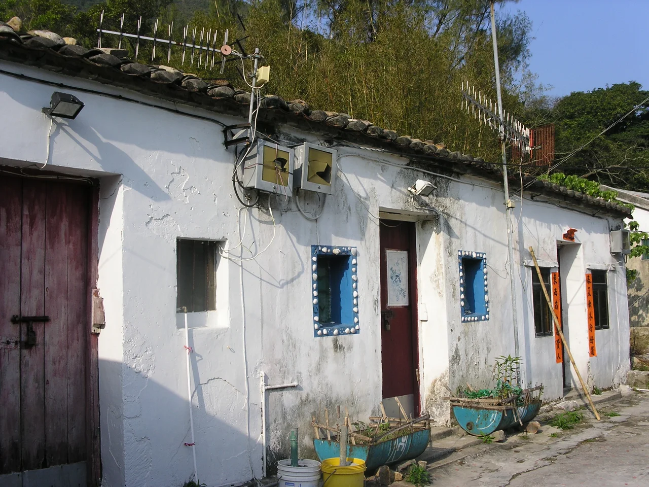

Tai Long Sai Wan
The Li family's genealogy records that their ancestors settled at Tai Long Wan between 1465 and 1487 — more than five centuries of human connection to a bay whose beauty the rest of Hong Kong only discovered much later. Sai Wan, the westernmost of the bay's four main beaches, is now commonly called Tai Long Sai Wan to distinguish it from the dozen other places in Hong Kong bearing the name Sai Wan. In 2006, it came first in the Hong Kong Best 10 Scenic Sites Election. That vote put an official number on what hikers had known for decades: this arc of white sand backed by green hills, accessible only on foot or by sea, holds something rare even in a territory famous for its coastline.
What the Walk Costs
Tai Long Sai Wan sits within Sai Kung East Country Park at Stage 2 of the MacLehose Trail, one of Hong Kong's most celebrated long-distance routes. There is no road to the beach and no easy shortcut. The approach involves a sustained climb over headland and ridge, rewarded at the descent by the first view down to the sand. That inaccessibility is precisely why the water runs clear and the sand stays white. Next door, Ham Tin Village offers a small restaurant and rents camping equipment and surfboards — the only commercial infrastructure within walking distance. The Star of the Sea Mass Centre nearby, built in 1953, rebuilt in 1963, and restored in 2021, stands as one of the historic churches of Sai Kung Peninsula. Sai Wan was once a typhoon shelter for fishing boats until the High Island Reservoir project blocked the shortcut channel that had made the anchorage practical.
The Pull of the Current
The same open-ocean exposure that produces Tai Long Sai Wan's dramatic surf also makes it dangerous. Rip currents run year-round, strong enough to drag swimmers into open water before they understand what is happening. The beach is not gazetted — no lifeguards, no shark nets, none of the safety infrastructure Hong Kong posts at its official swimming beaches. The consequences have been real and recurring. On 28 August 2001, an off-duty firefighter died attempting to rescue a 15-year-old swept out by waves; a second person drowned in the same incident. In June 2002, another off-duty firefighter drowned while swimming from a yacht to shore. In July 2005, a manager drowned from exhaustion swimming out to a boat. In September 2009, a university student was swept away by a two-metre wave. These are not statistical abstractions — they are individual tragedies at a beach that looks, in photographs, entirely benign. The sand is white, the water is blue, and the current does not announce itself.
When Development Arrived
In July 2010, reports emerged that businessman Simon Lo Lin-shing had acquired several plots of abandoned village land directly behind Sai Wan for approximately HK$16 million. The site, roughly 10,000 square metres, sat just outside the boundary of Hong Kong Country Parks and was not covered by any Outline Zoning Plan — a gap in protections that left it technically buildable. Diggers cleared the vegetation. A warning sign went up against trespassing. What was planned remained unclear; villagers heard talk of artificial ponds, a tennis court, and private apartments. Within days, more than 68,000 people joined a Facebook group opposing the development. Conservation groups planned protest hikes. A leading conservationist warned that the incident would damage Hong Kong's case for UNESCO World Heritage recognition of the National Geopark. The Secretary for the Environment said he had not heard of it until journalists called. The argument that followed — between private property rights, country park boundaries, and the public's attachment to a beach that had taken first place in a national scenic vote — played out in the press for weeks.
What Remains
The debate over Sai Wan's development revealed something broader: roughly 20 other sites in or near Sai Kung's country parks were identified as similarly vulnerable to the same type of private development. The episode sharpened calls for planning controls on private land adjacent to protected areas, and for repossession of key parcels before further damage occurred. Conservation may be achieved through many other ways, as officials noted at the time — though what those ways were remained vague. What is not vague is what the beach itself offers: a walk that takes real effort, sand that has not been managed or manicured, and water whose beauty is inseparable from its risk. The Li family's descendants are long gone from these shores. The beach they left behind is still worth the climb.
From the Air
Tai Long Sai Wan: 22.3993°N, 114.373°E. Recommended viewing altitude 2,000–3,000 ft to appreciate the full arc of the bay and the headlands on either side. The white sand of Sai Wan beach is visible in clear conditions as a bright strip against the green Sai Kung Peninsula. Sharp Peak (468 m) rises to the northeast and provides a useful orientation landmark. Nearest major airport: VHHH (Hong Kong International), approximately 25 nm to the west. The bay faces east and northeast into the South China Sea — morning light provides the best contrast for aerial photography.
Nearby Stories
- Sha Chau and Lung Kwu Chau Marine Park 5.9 km away
- Wanshan Archipelago 22 km away
- Hong Kong 12 25 km away
- Second Battle of Chuenpi 27 km away
- Mount Guanyin (Dongguan) 43 km away
- Battle of Penghu 474 km away
- Penghu Air Raids 482 km away
- Checheng Fu'an Temple 592 km away