Taiwan Strait
In 1955, an American Air Force general drew an imaginary line down the middle of a body of water and changed the geopolitics of Asia. General Benjamin O. Davis Jr. defined the 'median line' of the Taiwan Strait, after which the United States pressured both the People's Republic of China and the Republic of China not to cross it. For six decades, military aircraft from both sides mostly honored that invisible boundary - a remarkable feat of restraint over 180 kilometers of open water. Then, in 2019, PLA warplanes crossed it for the first time in twenty years. By 2020, Beijing had formally denied the line ever existed. The Taiwan Strait, 126 kilometers wide at its narrowest point, remains one of the most dangerous bodies of water on the planet.
A Shallow Sea with Deep Consequences
The Taiwan Strait sits entirely on Asia's continental shelf, almost nowhere exceeding 150 meters in depth. This shallowness shapes everything about it. Islands dot the waterway - Kinmen and Matsu, controlled by Taiwan, sit just kilometers from mainland China's Fujian Province coast. The Penghu archipelago, also known as the Pescadores, clusters in the strait's center. Xiamen and Pingtan islands belong to the PRC side. All of Fujian Province's rivers except the Ting empty into the strait, and Taiwan's rivers deposit between 60 and 150 million tons of sediment into it every year. Over the past ten thousand years, 600 billion tons of riverine sediment have accumulated here, building a lobe up to 40 meters thick on the southern floor.
The Line That Never Was
The Davis Line was never a treaty, never a legal boundary, never formally acknowledged by either side. It was a tacit understanding, enforced by American pressure during the height of the Cold War. Between 1954 and 2019, military craft generally observed it, crossing only three times. But tacit understandings erode. In 2019, PLA warplanes crossed the median line for the first time since 1999. In 2020, the PRC Foreign Ministry explicitly denied the existence of any such boundary. Since then, Chinese military aircraft have routinely operated on Taiwan's side of the strait. What took decades to establish disappeared in months - a reminder that lines drawn on water are only as durable as the power willing to enforce them.
Waterway of the World
Beneath the geopolitical tension, the Taiwan Strait functions as one of the world's busiest shipping corridors. Nearly every vessel traveling to or from the major ports of Northeast Asia - Tokyo, Shanghai, Busan, Taipei - passes through these waters. Fishermen have worked the strait since time immemorial, though the fishing has become contentious: Chinese vessels frequently cross into Taiwanese territorial waters to fish or dredge sand, leading to interceptions by Taiwan's Coast Guard, along with seizures, confiscations, and fines. Since 2018, China has denied that the concept of international waters applies to the strait, seeking to regulate what it views as foreign interference. Taiwan, the United States, Australia, and France have all pushed back, insisting on freedom of navigation.
Wind and Power
Taiwan is building major wind farms in the strait, turning the same persistent winds that once filled the sails of Chinese fishing junks into electricity. The shallow continental shelf that makes the strait so strategically vulnerable also makes it ideal for offshore wind turbines - foundations can be anchored to the seabed at manageable depths. The Greater Changhua wind farms, under development off Taiwan's western coast, represent one of the largest offshore wind projects in Asia. It is a peculiar irony: the strait that symbolizes confrontation between two political systems is also becoming a source of clean energy for one of them. The turbines stand in waters where warships maneuver and fishermen poach, adding yet another layer to the strait's crowded geography.
The Water Between
The Taiwan Strait connects the South China Sea to the East China Sea, though which body of water it properly belongs to depends on whom you ask. The International Hydrographic Organization's current agreement places the strait's waters within the South China Sea. A proposed new edition would classify it separately as part of the North Pacific Ocean. The distinction matters because naming implies ownership, and ownership implies control. For Taiwan, the strait is both barrier and lifeline - the narrow channel that has preserved the island's independence since 1949, and the same channel through which any invasion force would have to cross. At 126 kilometers, it is roughly the distance from Dover to Calais, another narrow waterway that has shaped the fate of nations on either side.
From the Air
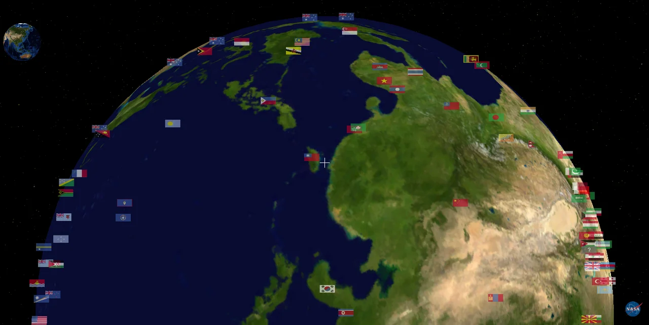
Center of the strait located at approximately 24.81N, 119.93E. The strait runs roughly 350km north-south between Taiwan and mainland China's Fujian Province, with a minimum width of 126km. Maximum depth under 150m across the continental shelf. Key islands visible from altitude include Kinmen, Matsu, and the Penghu archipelago. Nearby airports: Taichung (RCMQ) on Taiwan's west coast, Xiamen Gaoqi (ZSAM) on the mainland side, Magong (RCQC) on the Penghu islands. Expect heavy commercial shipping traffic below. Military activity frequent - check NOTAMs for live-fire exercise areas. Wind farm construction areas on Taiwan's western offshore should be noted for low-altitude navigation.
Nearby Stories
- Gongtian Temple 13 km away
- Guogang Shell Fossils 33 km away
- 2022 Chinese Military Exercises Around Taiwan 45 km away
- Gaomei Wetlands 60 km away
- 2015 New Taipei Water Park Fire 81 km away
- Penghu Air Raids 124 km away
- Battle of Penghu 165 km away
- Battle of Xiapi 1034 km away