
Tây Sơn District
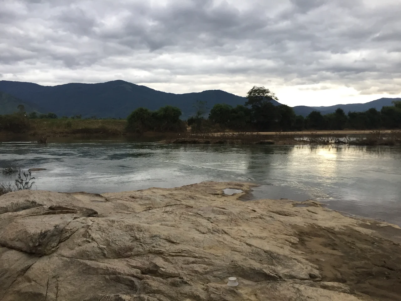
The name means 'Western Mountains,' and the district wears it plainly: a river plain opening toward the highlands, bounded by ridges that close in from both sides and funnel the Kôn River southeast toward the sea. Tây Sơn is not a dramatic landscape. It is an agricultural valley, a place of rice and trade routes and modest river towns. But it is also the ground from which the Tây Sơn brothers launched an uprising that remade Vietnam — and that history gives the landscape a weight it doesn't announce.
The Valley's Geography
Tây Sơn District occupies the western reaches of Bình Định Province, where the lowland plain begins its transition to the Central Highlands. The Kôn River runs through the district in a southeast direction, flowing from Vĩnh Thạnh District down through the district capital of Phú Phong Town and on toward An Nhơn. National Highways 19 and 19B both pass through the valley, and An Khê Pass, on Highway 19, marks the boundary between Tây Sơn and the highlands province of Gia Lai — a natural gateway that has channeled trade, armies, and travelers for centuries. The climate is tropical monsoon: a dry season from March through October that brings intense heat (the record high is 39°C), followed by a cool, wet season from November to February. The population of the district stood at 176,600 people before its administrative dissolution.
Birthplace of a Dynasty
The Tây Sơn brothers — Nguyễn Nhạc, Nguyễn Lữ, and Nguyễn Huệ — grew up in the village of Tây Sơn and settled in nearby Kiên Mỹ, now part of Phú Phong town. Their uprising, which began in 1771, eventually toppled both the Nguyễn lords ruling the south and the Trịnh lords controlling the north, a feat no single force had managed in generations of Vietnamese civil war. The youngest brother, Nguyễn Huệ, crowned himself Emperor Quang Trung and in 1789 routed a massive Qing dynasty invasion force at the Battle of Ngọc Hồi-Đống Đa in a campaign of startling speed. Bình Định Province still claims this history with pride — the dynasty lasted only a generation, but the brothers themselves became foundational figures in Vietnamese national identity. Their childhood valley remains the emotional center of that story.
The Ruins at Dương Long
Beyond the Quang Trung Museum and its carefully preserved artifacts, the district holds older evidence of the cultures that came before the Tây Sơn era. The ruins of Dương Long Cham Temple in Tây Sơn are remnants of the Cham civilization that preceded Vietnamese settlement in this region, a culture that built its towers across what is now central Vietnam for over a millennium. The district also contains Hầm Hô, a rocky stream area known for its natural pools and carved-granite scenery — the Kôn River's tributary behavior creating small gorges and swimming holes that draw visitors away from the historical sites into the terrain itself. The landscape holds multiple layers of time.
A District That No Longer Exists
As of July 1, 2025, Tây Sơn District was officially dissolved and reorganized into communes under Gia Lai Province, part of a broader Vietnamese administrative consolidation. The physical geography remains, and Phú Phong Town remains the hub of the former district. But the administrative unit of Tây Sơn District — 176,600 people, roughly 40 kilometers inland from Qui Nhơn, 20 kilometers from Phù Cát Airport — has been folded into the larger provincial structure. What endures is what always mattered here: the river valley, the pass into the highlands, and the memory of three brothers who traded and farmed this ground before they changed the country.
From the Air
Tây Sơn District lies at approximately 13.907°N, 108.923°E in western Bình Định Province. Flying Highway 19's corridor from the coast at Qui Nhơn, the district opens up after the coastal plain narrows — the Kôn River valley visible as a green thread through the drier terrain. An Khê Pass is conspicuous from altitude, a clear break in the ridge line marking the highland transition. Phù Cát Airport (UIH) sits about 20 km to the east, making this one of the more accessible rural districts by air. From 3,000–5,000 feet, the contrast between the coastal lowlands and the western ridges framing the valley gives the area its defining character.
Nearby Stories
- Battle of Mang Yang Pass 4.4 km away
- Firebase Bird 11 km away
- Kon Tum 35 km away
- 22nd Division (South Vietnam) 41 km away
- Sông Cầu 53 km away
- Vũng Rô Bay 95 km away
- Vũng Rô Bay Incident 124 km away
- Battle of the Paracel Islands 352 km away