Terschelling
On 19 August 1666, a Dutch merchant fleet was destroyed in the Vlieree, the strait separating Vlieland from Terschelling. The next day, Captain Robert Holmes and the Dutch deserter Laurentz van Heemskerk turned their ships toward West-Terschelling. They had planned to attack Vlieland, but Vlieland had spent the morning preparing for them. Terschelling had not. Within hours, all three hundred houses in the town beneath the Brandaris lighthouse were burning. The lighthouse itself, square-built in 1594, somehow stood. Everything else was charcoal by morning. The English called it Holmes's Bonfire. Three and a half centuries later, if you dig down about a meter in West-Terschelling, you still hit the burn layer - pitch black, perfectly preserved. In 2016, on the 350th anniversary, a small window was opened in the Commandeursstraat so visitors could see it.
A Sandbank That Became a Place
Terschelling didn't always exist as the island visible on modern charts. In medieval times a sandbank called De Schelling drifted east and joined itself to a separate island called Wexalia. The merger was Terschelling. The oldest known settlement on it is a small wooden church near Striep, built around 850 - the eleventh-century church list of Echternach in Luxembourg records two churches on Terschelling among the abbey's possessions, evidence that the island was on the Christian map quite early. Then came the floods. The North Sea took regular bites out of the place before the Dutch developed the dike technology that now defines the country. The worst was Saint Hubertus's flood in 1287, the same year the St. Lucia flood reshaped the coast at Harlingen. The Hubertus flood erased the shallow walking passage that had once connected Terschelling to the mainland near Hoorn. West-Terschelling became the main harbor by default.
An Island Divided, And Reunited
In 1612, the eastern and western parts of Terschelling had had enough of each other. The island split into two municipalities. West-Terschelling became the capital of West Terschelling. Oost Terschelling was governed from Midsland. The arrangement lasted until the Napoleonic occupation forced reunification. Administrative belonging has been unsettled in other ways too. Terschelling has been part of several provinces over the centuries. The most recent shuffle came in 1942, under German occupation, when the island and its neighbor Vlieland were transferred from North Holland to Friesland - a change that stuck after liberation. The Frisian language is now official on the island, and the small dialect variations between villages, while declining, are still audible if you know what you are listening for.
Brandaris and the Bonfire
The Brandaris lighthouse is the oldest in the Netherlands. Built in 1594, square in plan and stocky, it stands at the western tip of the island. It was the only significant building to survive Holmes's Bonfire of 1666 - a fact that has given it the status of a survivor in island memory, alongside its more prosaic function of warning sailors away from the rocks. The rebuilding of West-Terschelling afterward was unusually rapid. The authorities of the district of Holland sent help, and within a few years the town was back. The houses you see today on the Commandeursstraat are partly built on top of the ash. The street's name remembers the commanders - the captains of the whalers and merchantmen who shaped the island's wealth, and whose houses lined this street through the centuries when Terschelling lived from what the North Sea would surrender.
Cranberries, Cheese, Cherries
Local lore tells how a barrel of cranberries washed ashore in 1845. The story may be partly tidied up - cranberries appear in the European literature earlier - but the island's wild cranberry patches do indeed trace to that century, and Terschelling now exports cranberry products as a regional specialty. The natural park of Boschplaat on the eastern side grows wild cherries that go into a local cherry liqueur, and Syltsje, a distilled drink unique to the island, is served at cafés across the Wadden chain. Cheese and honey complete the local pantry. None of this is incidental tourism marketing. The island has roughly 4,900 permanent residents, a number that multiplies many times in high season, and the food culture has evolved to serve the visitors without losing the rural register that brings them. Over 200 km of bike and hiking paths lace through dunes, marsh, and pasture.
An Island With a List of Statues
Near Striep stands a statue of Het Stryper Wyfke, the woman of the legend who is said to have turned back English soldiers by tricking them about what they were seeing on the horizon. They stand by the hundreds, she told them, but they lie by the thousands - meaning the gravestones in the cemetery. The soldiers, thinking the dead were an army, supposedly retreated. The island runs on stories like this. Willem Barentsz, the Dutch explorer who gave his name to the Barents Sea, was born on Terschelling. Each June the island hosts Oerol, a festival of theater and performance that scatters audiences across the dunes, the woods, the beaches, and the old farms. The festival is in its way the opposite of Holmes's Bonfire - a deliberate, joyful covering of the island with people. Beneath one performance space or another, the burn layer is still there, undisturbed.
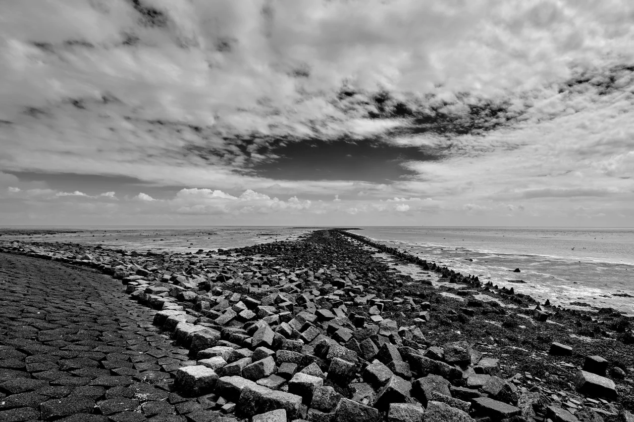
From the Air
Terschelling lies at 53.40°N, 5.33°E, third from west in the Dutch West Frisian island chain. From the air the island is unmistakably long and narrow - about 30 km west to east, varying from 1 to 4 km wide - with a clean dune ridge along the North Sea side and salt marshes and tidal flats facing the Wadden Sea. The Brandaris lighthouse marks West-Terschelling at the western tip. Look for the long beach of De Boschplaat at the eastern end, a protected nature reserve. Nearest airport is Leeuwarden Air Base (EHLW) on the mainland; small aircraft can use Texel International Airport (EHTX) two islands west. Best viewed at 2,500-5,000 feet AGL with the tide out, when the Wadden Sea channels carve the mudflats into long sinuous patterns south of the island.
Nearby Stories
- Dokkum 3.1 km away
- Tjaskers in Friesland 4.2 km away
- Rede van Texel 6.6 km away
- Gorredijk 11 km away
- Duinen van Texel National Park 24 km away
- HVDC DolWin1 52 km away
- Gemini Wind Farm 58 km away
- West Sole Gas Field 249 km away