Duinen van Texel National Park
In 1927 a Dutch botanist named Jac. P. Thijsse wrote a small illustrated book about the flora and fauna of Texel. The book was cheap, the illustrations were stunning, and the pictures came free inside the wrappers of Verkade chocolate bars. A generation of Dutch children grew up pasting images of spoonbills and dune orchids into albums and learning to care about an island most of them had never seen. Seventy-five years later, in 2002, the dunes Thijsse documented became a national park. The cheap chocolate-bar book did much of the work of getting them protected.
What the Dunes Actually Are
The park covers approximately forty-three square kilometers along the western and northern coasts of Texel, gathering up every dune system on the seaward side of the island and adding the great sand plains that drift off the southern and northern points. From the air the geometry is unmistakable: parallel ridges of dune running north to south, valleys between them holding pockets of fresh water, salt marsh, or pasture, and beyond them the sand flats where new dunes are being born. The southernmost tip, De Hors, is partly owned by the Dutch Ministry of Defence for amphibious training. The southern Hors plain itself grew out of a shoal called Onrust that simply walked toward the island in 1910 and stayed.
Where the New Sand Goes
Walk south to north across the park and you walk through stages of ecological succession. On the newest dunes, the ones closest to the beach, biestarwegras takes hold in the salt-sprayed sand. A little inland, where the dunes are older and the salt diluted, marram grass replaces it. In the moist hollows between dunes, the wet dune valleys called slufters and pannes, the vegetation shifts to the rare specialists of this kind of habitat: Parnassia palustris, the early marsh orchid Dactylorhiza incarnata, centaurium pinking the sand in summer. In the Kreeftenpolder, a dune valley named for the project supervisor Jaap Kreeft, two orchids that have nearly vanished from Dutch lowlands still grow: the fen orchid Liparis loeselii and the few-flowered spike-rush Eleocharis quinqueflora. Since 2000 the valley has flooded into a shallow lake.
The Spoonbill Capital
De Geul is a wet dune valley that started life as part of Mok Bay before the navy built a dam to extract drinking water from the dunes. Water extraction stopped in 1993 and De Geul started to rewet itself. Through a ditch with fish ladders, three-spined sticklebacks began to swim in from the Wadden Sea. Where there were sticklebacks, there could be spoonbills. The largest spoonbill breeding colony on Texel set up there and has been there ever since. Highland cattle and Exmoor ponies graze the surrounding pasture, holding back the scrub the way native grazers used to. De Muy, further north, was the original spoonbill stronghold on Texel, formed in 1851 when the North Sea broke through the outer dunes and created a brackish lake behind them. Cormorant numbers rose there in the 1990s as spoonbills declined. Both species are still present, balanced against each other across the dune system.
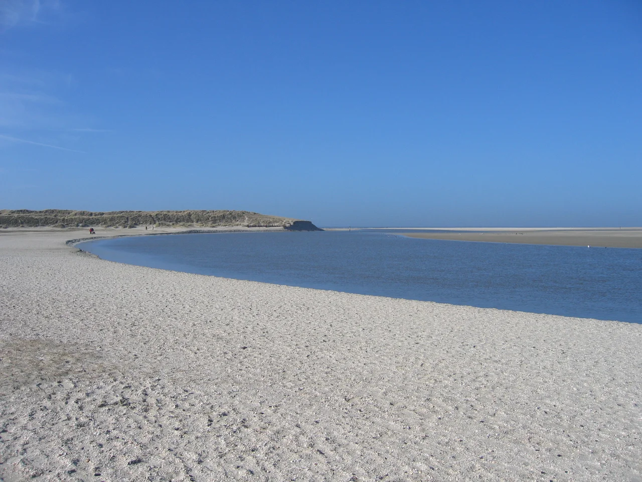
De Slufter
The Slufter is the dramatic exception to everything else about Texel. A wide dune valley with an open break through the outer dunes, it lets the North Sea pour in twice a day on the tide. At average high water the seawater fills only the creeks and shallow pools. At extreme high tide the larger valley floods entirely, turning salt marsh into estuary. The Sluftercreek has been migrating north for years, eroding the dunes on that side, and in May 2004 the management engineered a new creek mouth to the south and closed up the old one a week later. The vegetation is salt-tolerant: sea-lavender turning the basin purple in June, common glasswort flushing it red in October, sea-buckthorn at the dryer edges. Common eider breed in the dunes. Spoonbills forage on the falling tide. Waders, the dunlins and bar-tailed godwits and red knots that ride the Wadden Sea flyway, come in only on the rising water. The shells washing ashore here are from two epochs, both modern North Sea species and the fossil shells of the last interglacial, the Eemian Stage, eroded out of the deeper deposits beneath the dunes.
Who Lives in the Sand
The bird list reads like a field-guide showcase. Greylag and brent goose, common shelduck, wigeon, eider, scoter, oystercatcher, pied avocet, golden plover, peewit, knot, dunlin, bar-tailed godwit, short-eared owl, hen harrier. The passerines in the dune scrub include northern wheatear, European stonechat, white wagtail, meadow pipit. The mammal list is shorter and almost entirely small: rabbits, hares, hedgehogs, mice and voles, the stoat that hunts them. The bigger animals are at the water's edge. Common seals and grey seals haul out on the sandbanks of the Wadden Sea and the open beach. Harbor porpoises move through the offshore water. Ecomare, the natural history museum and aquarium that has been the park's visitor centre since 1930, runs the seal and bird rescue operation. Over 265,000 people visit Ecomare each year, making it the largest centre for nature information anywhere on the Wadden Sea coast.
Walking and Cycling It
The trail system is colour-coded: red, yellow, blue, green. The green routes are closed during bird breeding season because they go straight through nesting habitat. Many of the bicycle trails are open year-round and run between the dune ridges where the cyclist can see the marsh on one side and the high sand on the other. The park sits inside one of the most important migratory bird corridors in northwestern Europe, the Wadden Sea flyway, and during spring and autumn migration the dunes are a stopover for tens of thousands of birds that have flown from northern Russia and are bound for West Africa or the reverse. Thijsse's chocolate-wrapper pictures are still in circulation among Dutch collectors. The Verkade Album of Texel, 1927, is something children grew up with. The dunes are still here because, in part, a generation of children once thought of them as theirs.
From the Air
Centered at approximately 53.15 north, 4.80 east on the North Sea coast of Texel. From the air the park reads as a continuous strip of pale yellow dune and dark green pine plantation along the western and northern edges of the island, with the dramatic salt-marsh basin of De Slufter visible near the northern tip and the wide sand plain of De Hors at the south. Texel airfield (EHTX) is just inland on the southern end of the island. De Kooy (EHKD) at Den Helder is 15 km south across the Marsdiep. Schiphol (EHAM) is 80 km south. Best viewed at 1,500 to 4,000 feet on a clear day, when the colour contrast between the dunes, salt marsh, freshwater pannes, and the open Wadden Sea behind comes into full focus.
Nearby Stories
- Stavoren 6.4 km away
- Battle of Callantsoog 7.4 km away
- Harlingen, Netherlands 10 km away
- Battle of Camperdown 18 km away
- De Verwachting, Hollum 24 km away
- Action of 22 September 1914 37 km away
- Ballum 62 km away
- West Sole Gas Field 205 km away