Thitu Island
The Filipino name for Thitu Island is Pag-asa, meaning "Hope." It is an apt name for a 37-hectare island that sits 500 kilometers west of Puerto Princesa, closer to Vietnam and the Chinese-built artificial islands than to any Philippine city. As the second-largest naturally occurring island in the Spratlys, Thitu is also the administrative center of the Municipality of Kalayaan, the only municipality in the Philippines with a single barangay. Children attend school here. A 5-bed clinic serves the community. Cell towers provide a signal from Smart Communications. Living on Pag-asa requires a particular kind of hope: the belief that ordinary life can take root in one of the most disputed places on Earth.
Seized in a Typhoon's Wake
Thitu Island changed hands because of a storm. On April 18, 1971, a strong typhoon struck, and the Republic of China authorities ordered all garrisons on Thitu to evacuate to nearby Taiping Island. After the typhoon passed, Taiwan rotated its troops, sending the original garrison home and loading new soldiers onto a landing ship for the return trip. The Philippines saw the gap. On July 29, 1971, Filipino troops landed on the unoccupied island and claimed it. Taiwan protested, but the Philippines held its ground. The island was renamed Pag-asa, and the Philippines has maintained an unbroken military presence ever since. The modern Chinese name, Zhongye Island, derives from the warship Chung-yeh, sent by the Republic of China in 1946 to reclaim South China Sea islands after Japan's surrender.
An Airstrip at the Edge
Rancudo Airfield, named after former Philippine Air Force Commanding General Jose L. Rancudo, was built in 1978 with a 1,300-meter unpaved strip. For years, erosion from the sea gnawed at both ends of the runway, shrinking the usable length. Repairs were delayed repeatedly, originally scheduled for 2018 but not completed until early 2023. The repaved airstrip is vital. Without it, the only way to reach Thitu is by sea, a journey of days from Palawan through waters patrolled by Chinese coast guard vessels. The airfield makes resupply possible in hours rather than days and gives the Philippine military a forward operating position for maritime patrol aircraft.
Civilians in a Military Frontier
What makes Thitu unusual among Spratly outposts is its civilian population. Most occupied features in the archipelago are purely military installations: garrisons on concrete platforms, soldiers on artificial islands. Thitu has a small community with families, children, and the infrastructure of everyday life. A lighthouse guides vessels through the surrounding waters. The 5-bed lying-in clinic serves medical needs that would otherwise require evacuation to Palawan. A sheltered port and harbor were completed in May 2020, along with a beaching ramp at the tip of the airstrip. These are modest improvements by mainland standards, but on an island where building materials must be shipped across 270 nautical miles of contested ocean, each one represents a significant investment and a deliberate statement of permanence.
Naval Station Emilio Liwanag
The military installation on Thitu, Naval Station Emilio Liwanag, is named for a Philippine Navy captain who served in World War II and the Korean War. The station anchors the Philippines' defense posture in the northern Spratlys. Its neighbors tell the story of the region's tensions: Subi Reef, transformed by China into a massive artificial island with military facilities, lies to the southwest. The North Danger Reef system is to the north. The Loaita and Tizard Banks, with their mix of Philippine, Vietnamese, and Chinese-occupied features, stretch to the south. From Thitu's modest garrison, Filipino soldiers watch one of the most heavily contested maritime frontiers in the world, their presence sustained by supply runs that are themselves a source of confrontation.
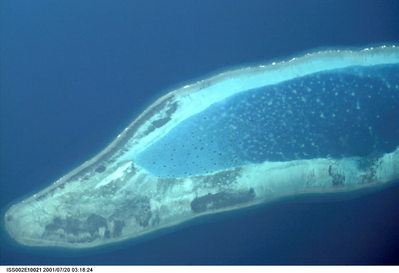
From the Air
Thitu Island (Pag-asa) is at approximately 11.05°N, 114.28°E. Rancudo Airfield has a 1,300-meter runway, repaved in 2023. The island appears as a green landmass with a visible airstrip surrounded by reef shallows. Subi Reef, a Chinese artificial island with military infrastructure, is visible to the southwest (~15 nm). The nearest major civilian airport is Puerto Princesa (RPVP) on Palawan, approximately 270 nm east. Expect Philippine military presence and potential Chinese naval/coast guard activity in surrounding waters.
Nearby Stories
- Taiping Island 39 km away
- Mischief Reef 109 km away
- Kashmir Princess 129 km away
- South China Sea 150 km away
- Fiery Cross Reef 160 km away
- BRP Sierra Madre 165 km away
- 2019 Reed Bank Incident 207 km away
- Scarborough Shoal Standoff 567 km away